STS040-73-98
| NASA Photo ID | STS040-73-98 |
| Focal Length | 50mm |
| Date taken | 1991.06.06 |
| Time taken | 10:52:06 GMT |
Cloud masks available for this image:
Spacecraft nadir point: 29.0° N, 46.9° E
Photo center point: 29.5° N, 48.0° E
Photo center point by machine learning:
Photo center point: 29.5° N, 48.0° E
Photo center point by machine learning:
Nadir to Photo Center: East
Spacecraft Altitude: 159 nautical miles (294km)
Country or Geographic Name: | KUWAIT |
Features: | OIL FIRES, T/E R/DELTA |
| Features Found Using Machine Learning: | |
Cloud Cover Percentage: | 0 (no clouds present) |
Sun Elevation Angle: | 62° |
Sun Azimuth: | 264° |
Camera: | Hasselblad |
Focal Length: | 50mm |
Camera Tilt: | 25 degrees |
Format: | 5017: Kodak, natural color positive, Ektachrome, X Professional, ASA 64, standard base |
Film Exposure: | Normal |
| Additional Information | |
| Width | Height | Annotated | Cropped | Purpose | Links |
|---|---|---|---|---|---|
| 5700 pixels | 6000 pixels | No | No | Download Image | |
| 500 pixels | 526 pixels | No | No | Download Image | |
| 640 pixels | 480 pixels | No | No | Download Image |
Download Packaged File
Download a Google Earth KML for this Image
View photo footprint information
Download a GeoTIFF for this photo
Image Caption:
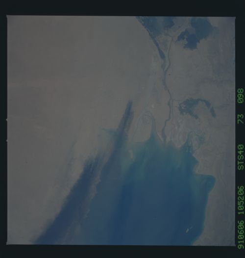
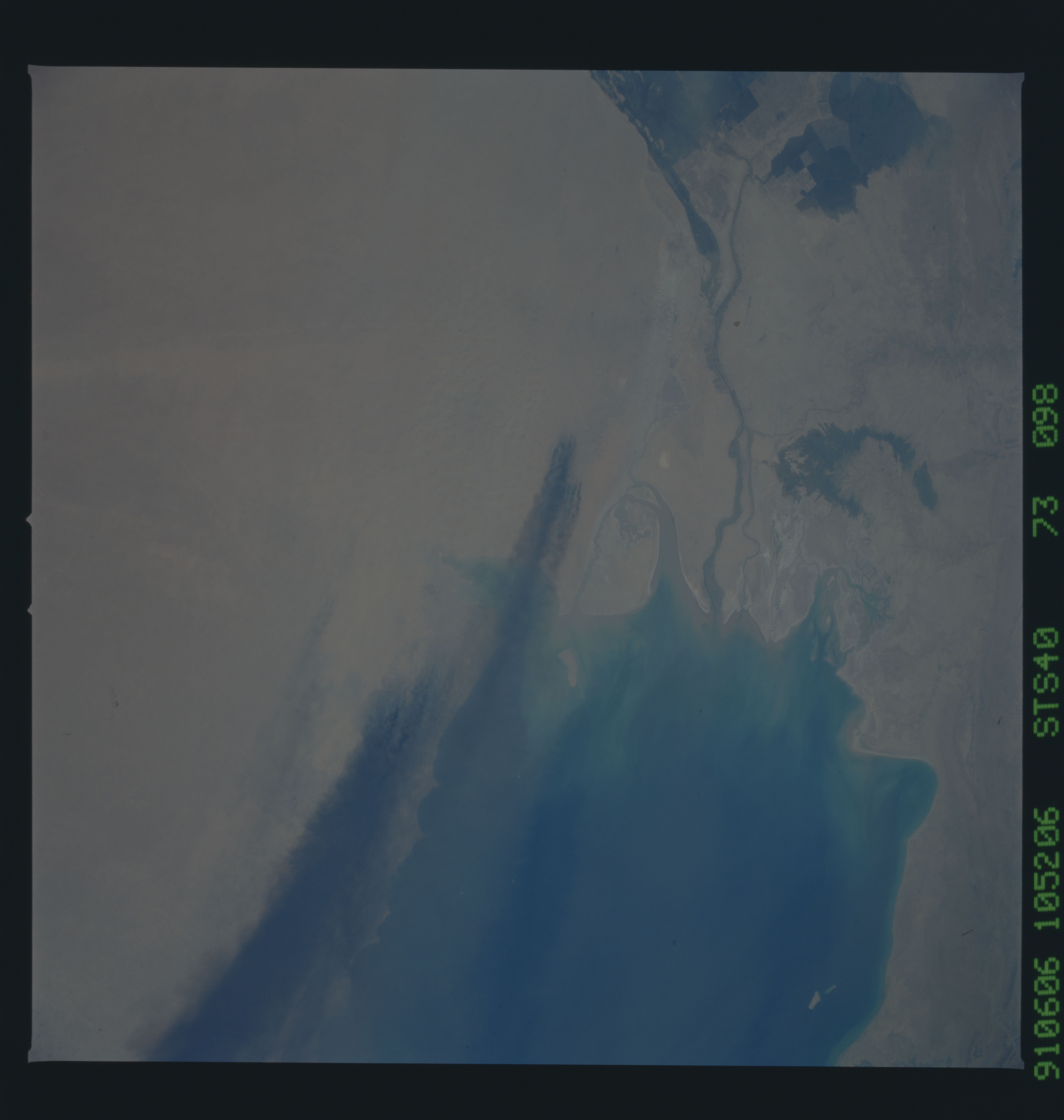
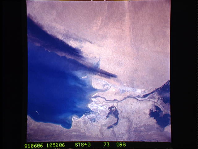
STS040-88-000AQ & STS040-73-098 Kuwaiti Oil Fires The scene docu-
ments the wellhead fires raging at the north end of the Al Ahmadi
Oilfields. The view is from west to east (Kuwait City is at the
top in the center). In the foreground are a few burning wells
from the far smaller and older Dibdibba and Al Maqwa Oilfields.
In this natural color photograph, looking down-sun, the surface
oil ponding is clearly visible as irregular streams of oil lead-
ing away from individual wellheads. The mouths of the Tigris-
Euphrates are discernible at the north end of the Persian Gulf.
Further to the south in the Gulf, a long arm of oily smoke can be
seen emanating from Kuwait and swinging generally south and then
east across the Gulf into coastal Iran.
