STS040-72-43

| NASA Photo ID | STS040-72-43 |
| Focal Length | 250mm |
| Date taken | 1991.06.07 |
| Time taken | 00:08:12 GMT |
Resolutions offered for this image:
5248 x 5248 pixels 640 x 640 pixels 5700 x 6000 pixels 500 x 526 pixels 640 x 480 pixels
5248 x 5248 pixels 640 x 640 pixels 5700 x 6000 pixels 500 x 526 pixels 640 x 480 pixels
Cloud masks available for this image:
Spacecraft nadir point: 35.9° N, 129.8° E
Photo center point: 36.0° N, 129.5° E
Photo center point by machine learning:
Photo center point: 36.0° N, 129.5° E
Photo center point by machine learning:
Nadir to Photo Center: West
Spacecraft Altitude: 154 nautical miles (285km)
Camera: | Hasselblad |
Focal Length: | 250mm |
Camera Tilt: | 7 degrees |
Format: | 5017: Kodak, natural color positive, Ektachrome, X Professional, ASA 64, standard base |
Film Exposure: | Normal |
| Additional Information | |
| Width | Height | Annotated | Cropped | Purpose | Links |
|---|---|---|---|---|---|
| 5248 pixels | 5248 pixels | No | No | Earth From Space collection | Download Image |
| 640 pixels | 640 pixels | No | No | Earth From Space collection | Download Image |
| 5700 pixels | 6000 pixels | No | No | Download Image | |
| 500 pixels | 526 pixels | No | No | Download Image | |
| 640 pixels | 480 pixels | No | No | Download Image |
Download Packaged File
Download a Google Earth KML for this Image
View photo footprint information
Download a GeoTIFF for this photo
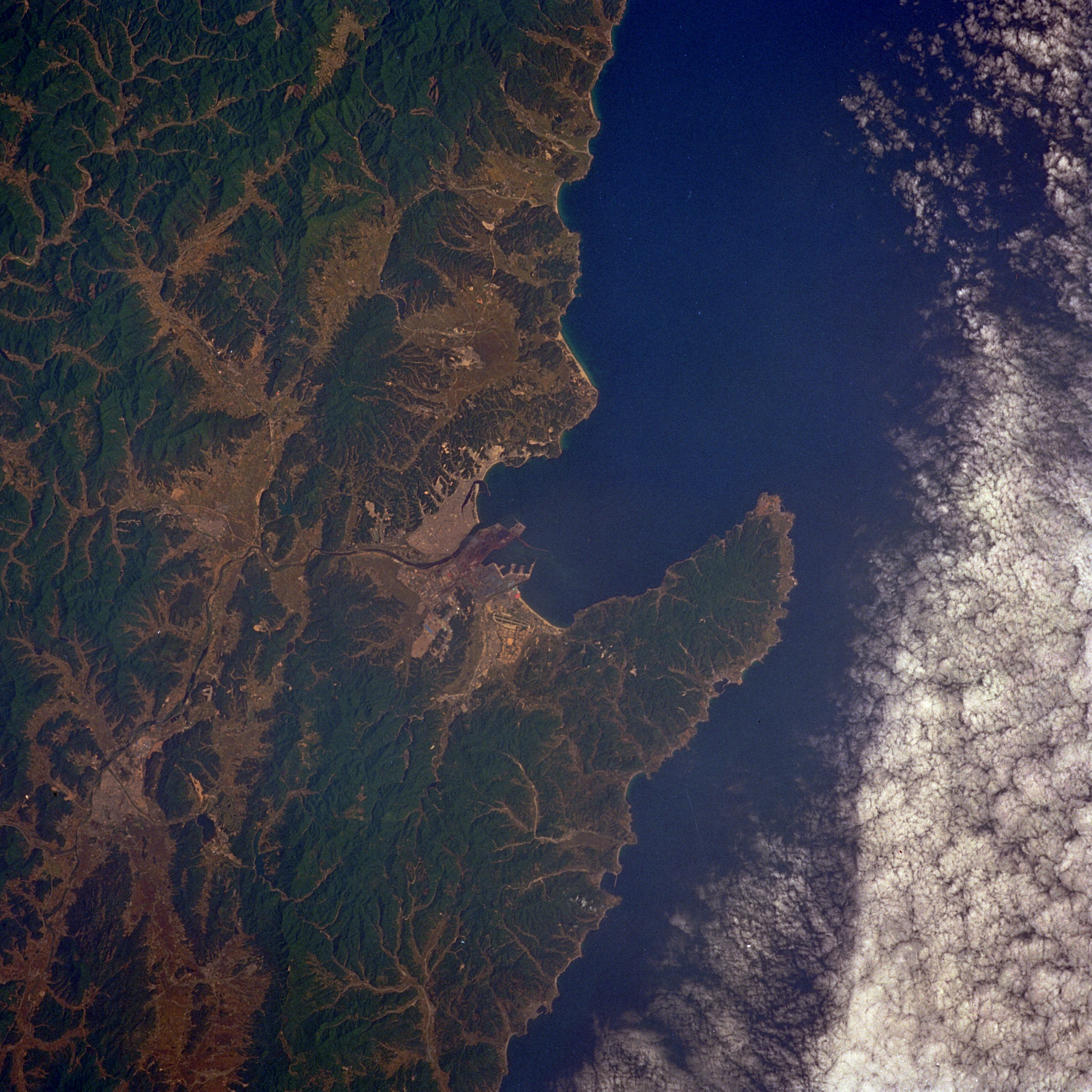
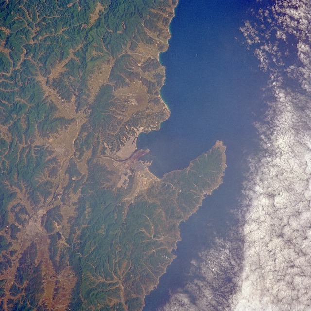
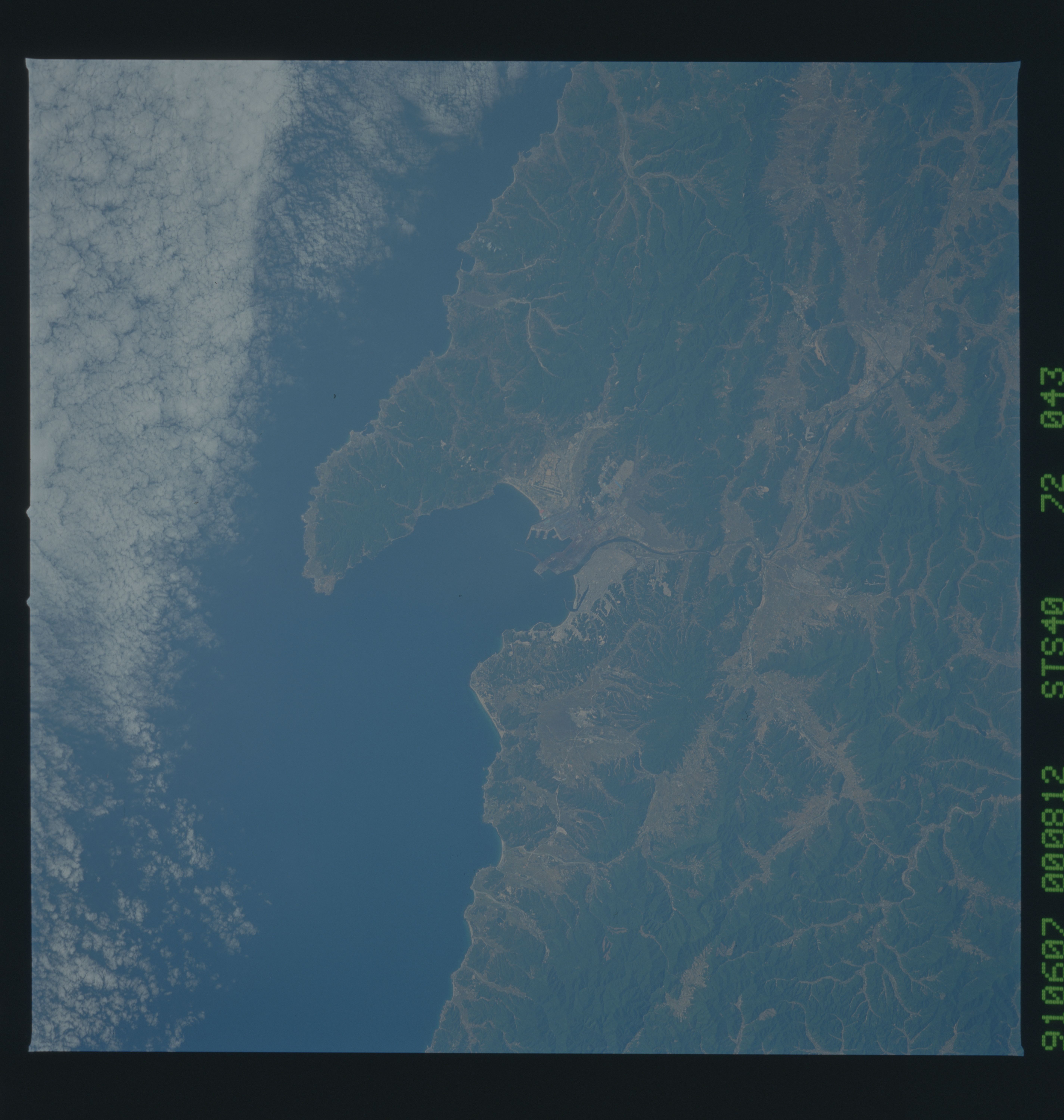
Image Caption: STS040-072-043 P'ohang, South Korea June 1991
The seaport and industrial city of P'ohang is visible near the center of this near-vertical photograph. According to a 1980 census, P'ohang had a population of more than 200 000. Some of the city's infrastructure can be observed--the airport southeast of downtown, wharves jutting into Yongil Bay, and the industrial area (iron and steel mills) south of the river that flows into Yongil Bay. The topography of the southeast coastal area--many severe, steep slopes and low mountains--prevails throughout much of South Korea. Approximately 20 percent of the total land area is usable for agriculture. The dark green areas are hills and mountains with elevations ranging from 2000 to 4000 feet (600 to 1200 meters). Numerous valleys cutting through the mountain areas help map the rather complex drainage pattern found throughout South Korea.
The seaport and industrial city of P'ohang is visible near the center of this near-vertical photograph. According to a 1980 census, P'ohang had a population of more than 200 000. Some of the city's infrastructure can be observed--the airport southeast of downtown, wharves jutting into Yongil Bay, and the industrial area (iron and steel mills) south of the river that flows into Yongil Bay. The topography of the southeast coastal area--many severe, steep slopes and low mountains--prevails throughout much of South Korea. Approximately 20 percent of the total land area is usable for agriculture. The dark green areas are hills and mountains with elevations ranging from 2000 to 4000 feet (600 to 1200 meters). Numerous valleys cutting through the mountain areas help map the rather complex drainage pattern found throughout South Korea.
