STS040-613-26
| NASA Photo ID | STS040-613-26 |
| Focal Length | 250mm |
| Date taken | 1991.06.__ |
| Time taken | GMT |
Cloud masks available for this image:
Spacecraft nadir point:
Photo center point: 20.5° S, 33.0° E
Photo center point by machine learning:
Photo center point: 20.5° S, 33.0° E
Photo center point by machine learning:
Nadir to Photo Center:
Spacecraft Altitude: nautical miles (0km)
Camera: | Rolleiflex |
Focal Length: | 250mm |
Camera Tilt: | Low Oblique |
Format: | 5017: Kodak, natural color positive, Ektachrome, X Professional, ASA 64, standard base |
Film Exposure: | Normal |
| Additional Information | |
| Width | Height | Annotated | Cropped | Purpose | Links |
|---|---|---|---|---|---|
| 5700 pixels | 6000 pixels | No | No | Download Image | |
| 500 pixels | 526 pixels | No | No | Download Image | |
| 640 pixels | 480 pixels | No | No | Download Image |
Download Packaged File
Download a Google Earth KML for this Image
View photo footprint information
Download a GeoTIFF for this photo
Image Caption:
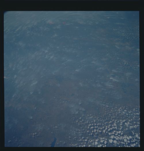
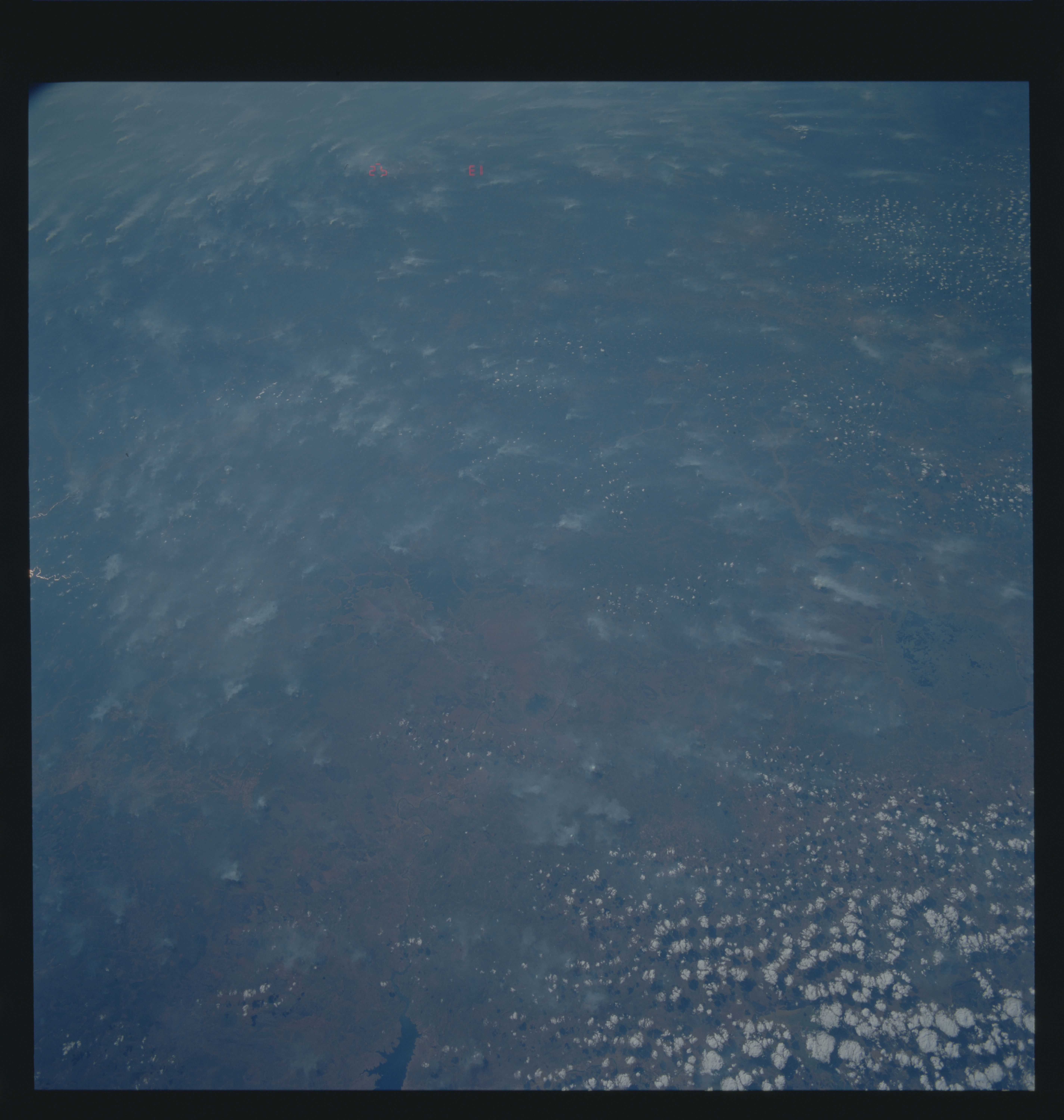
STS040-613-26 The STS-40 mission photographed extensive biomass
burning over Mozambique and Angola, essentially from the Atlantic
to the Indian Ocean along latitude 15! S. Such regional burning
has been documented during previous missions over southern Afri-
ca. An independent data source, the TOMS sounder on Nimbus 7
(launched 1978), shows hemisphere-wide decreases in ozone and in-
creases in methane and carbon monoxide specifically associated
with this burning.
