STS040-609-38
| NASA Photo ID | STS040-609-38 |
| Focal Length | 100mm |
| Date taken | 1991.06.__ |
| Time taken | GMT |
Resolutions offered for this image:
3928 x 3867 pixels 639 x 630 pixels 5700 x 6000 pixels 500 x 526 pixels 640 x 480 pixels
3928 x 3867 pixels 639 x 630 pixels 5700 x 6000 pixels 500 x 526 pixels 640 x 480 pixels


Cloud masks available for this image:
Spacecraft nadir point:
Photo center point: 38.0° N, 121.5° W
Photo center point by machine learning:
Photo center point: 38.0° N, 121.5° W
Photo center point by machine learning:
Nadir to Photo Center:
Spacecraft Altitude: nautical miles (0km)
Country or Geographic Name: | USA-CALIFORNIA |
Features: | SACRAMENTO VALLEY |
| Features Found Using Machine Learning: | |
Cloud Cover Percentage: | 5 (1-10)% |
Sun Elevation Angle: | ° |
Sun Azimuth: | ° |
Camera: | Rolleiflex |
Focal Length: | 100mm |
Camera Tilt: | Low Oblique |
Format: | 5017: Kodak, natural color positive, Ektachrome, X Professional, ASA 64, standard base |
Film Exposure: | Normal |
| Additional Information | |
| Width | Height | Annotated | Cropped | Purpose | Links |
|---|---|---|---|---|---|
| 3928 pixels | 3867 pixels | No | No | Earth From Space collection | Download Image |
| 639 pixels | 630 pixels | No | No | Earth From Space collection | Download Image |
| 5700 pixels | 6000 pixels | No | No | Download Image | |
| 500 pixels | 526 pixels | No | No | Download Image | |
| 640 pixels | 480 pixels | No | No | Download Image |
Download Packaged File
Download a Google Earth KML for this Image
View photo footprint information
Download a GeoTIFF for this photo
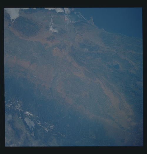
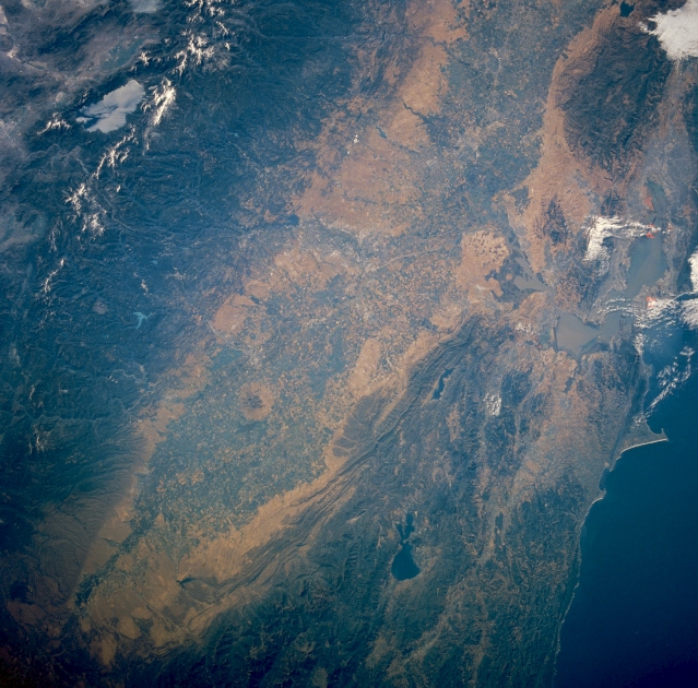
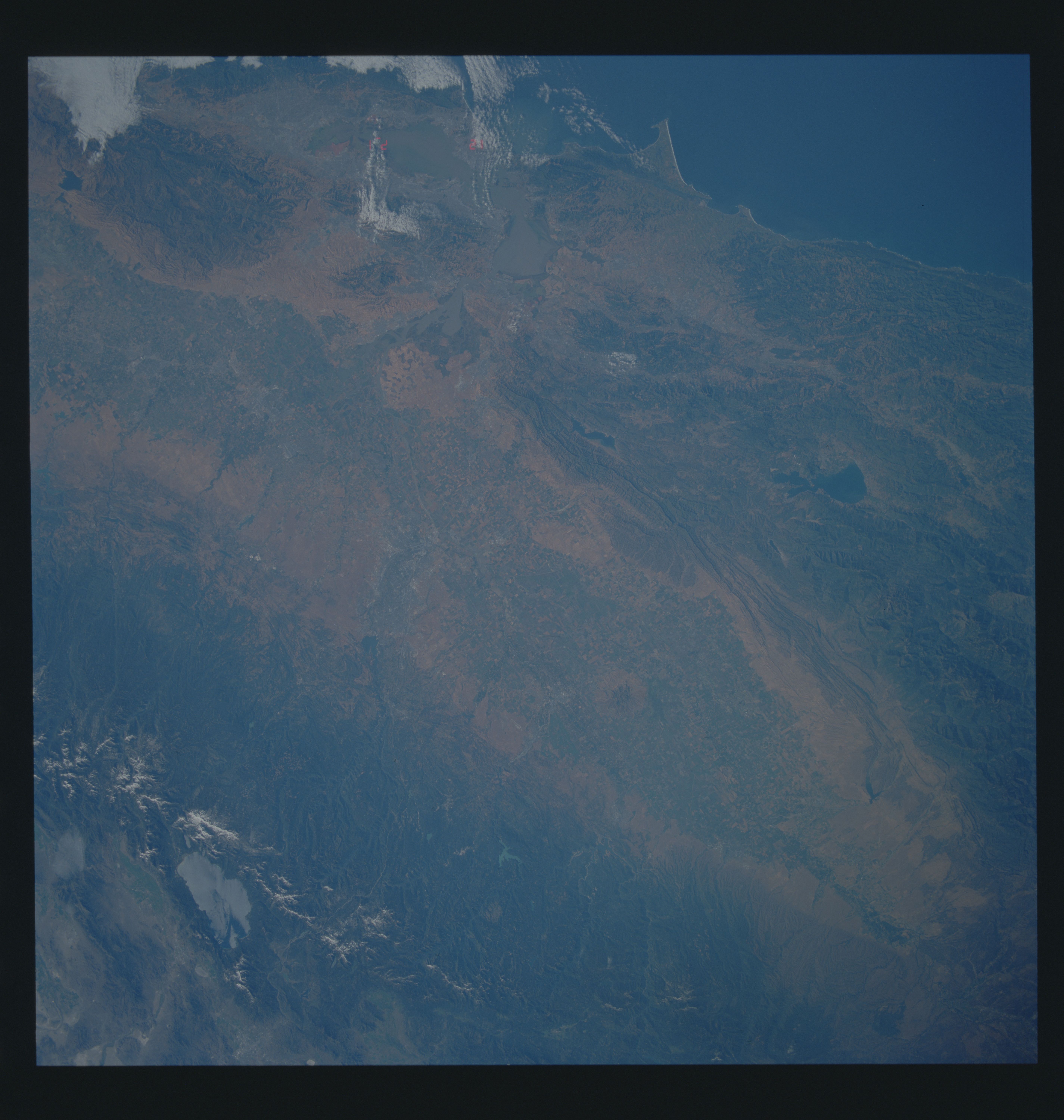
Image Caption: STS040-609-038 Central Valley, California, U.S.A. June 1991
This low-oblique, southeast-looking, synoptic photograph captures the great Central Valley of California. Composed of the Sacramento Valley to the north and the San Joaquin Valley to the southeast, the Central Valley of California is one of the richest agricultural areas in the United States. Visible to the east are the forested slopes and snow-covered higher peaks of the Sierra Nevada Mountains and light blue Lake Tahoe. West of the Central Valley, the Coast Range traverses north-south, and the San Francisco Bay Area is discernible among scattered clouds.
This low-oblique, southeast-looking, synoptic photograph captures the great Central Valley of California. Composed of the Sacramento Valley to the north and the San Joaquin Valley to the southeast, the Central Valley of California is one of the richest agricultural areas in the United States. Visible to the east are the forested slopes and snow-covered higher peaks of the Sierra Nevada Mountains and light blue Lake Tahoe. West of the Central Valley, the Coast Range traverses north-south, and the San Francisco Bay Area is discernible among scattered clouds.
