STS039-73-44

| NASA Photo ID | STS039-73-44 |
| Focal Length | 250mm |
| Date taken | 1991.04.28 |
| Time taken | 13:15:48 GMT |
Cloud masks available for this image:
Spacecraft nadir point: 50.5° N, 74.4° W
Photo center point: 51.5° N, 68.5° W
Photo center point by machine learning:
Photo center point: 51.5° N, 68.5° W
Photo center point by machine learning:
Nadir to Photo Center: East
Spacecraft Altitude: 145 nautical miles (269km)
Country or Geographic Name: | CANADA-Q |
Features: | MANICOUAGAN RESERVOIR |
| Features Found Using Machine Learning: | |
Cloud Cover Percentage: | 0 (no clouds present) |
Sun Elevation Angle: | 32° |
Sun Azimuth: | 109° |
Camera: | Hasselblad |
Focal Length: | 250mm |
Camera Tilt: | Low Oblique |
Format: | 5017: Kodak, natural color positive, Ektachrome, X Professional, ASA 64, standard base |
Film Exposure: | Normal |
| Additional Information | |
| Width | Height | Annotated | Cropped | Purpose | Links |
|---|---|---|---|---|---|
| 5700 pixels | 6000 pixels | No | No | Download Image | |
| 500 pixels | 526 pixels | No | No | Download Image | |
| 640 pixels | 480 pixels | No | No | Download Image |
Download Packaged File
Download a Google Earth KML for this Image
View photo footprint information
Download a GeoTIFF for this photo
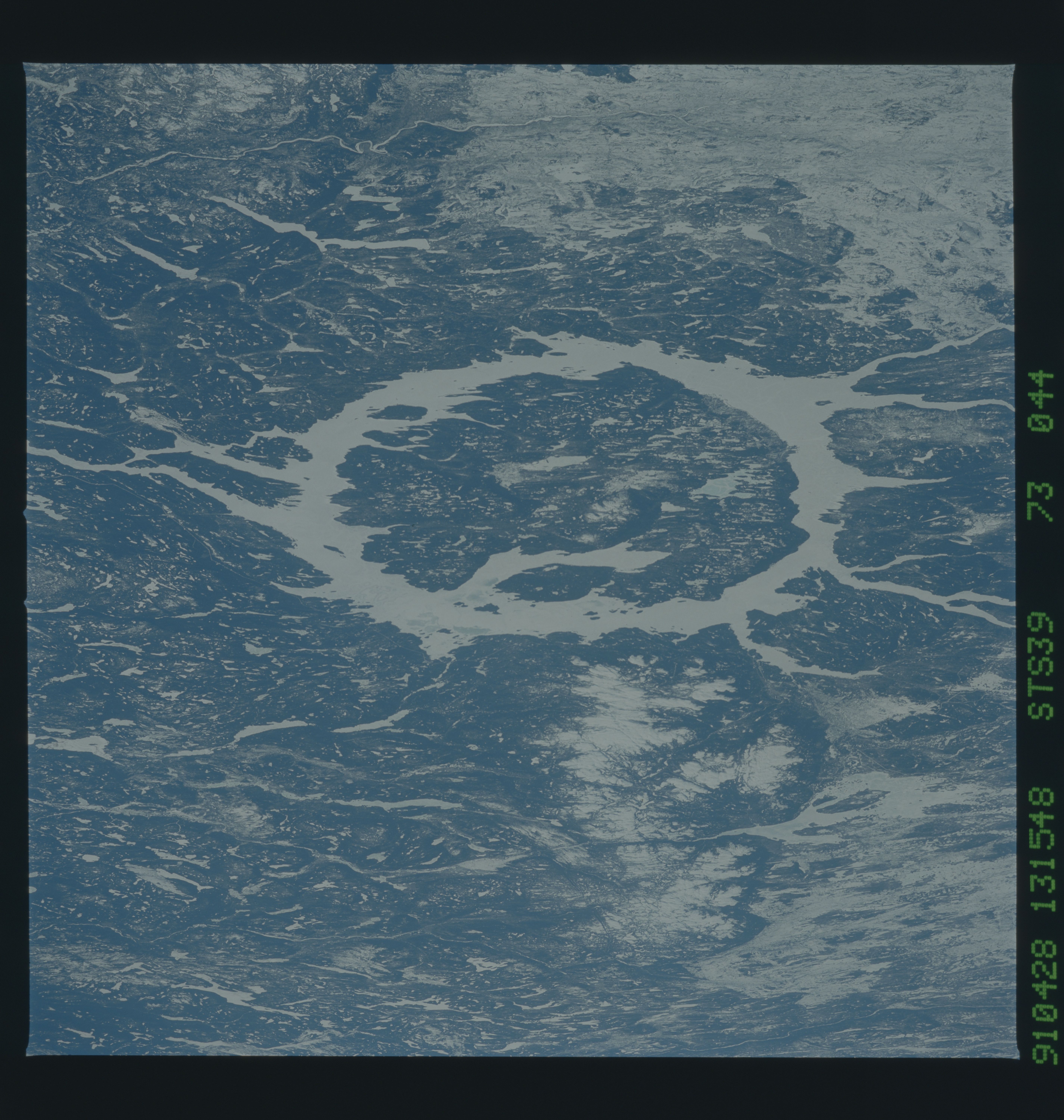
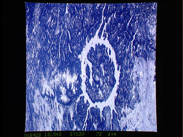
Image Caption: STS039-73-44 Manicouagan. East looking view of a frozen Manicouagan
Reservoir (51deg. 23'N, 68deg. 42'W) taken in April 1991. Manicouagan
is located in the heavily forested region of the Canadian Shield in
Quebec. Manicouagan gained attention as an impact crater during the
Skylab missions because of its easily discernable circular shape. The
diameter of the crater is 100 km and the age is 212 +/- 2 m.y. T283C
