STS039-71-88
| NASA Photo ID | STS039-71-88 |
| Focal Length | 250mm |
| Date taken | 1991.04.28 |
| Time taken | 12:07:11 GMT |
Cloud masks available for this image:
Spacecraft nadir point: 23.9° N, 54.8° E
Photo center point: 24.0° N, 54.0° E
Photo center point by machine learning:
Photo center point: 24.0° N, 54.0° E
Photo center point by machine learning:
Nadir to Photo Center: West
Spacecraft Altitude: 138 nautical miles (256km)
Country or Geographic Name: | UNITED ARAB EMIRATES |
Features: | AL JIRAB-OIL ON COAST |
| Features Found Using Machine Learning: | |
Cloud Cover Percentage: | 0 (no clouds present) |
Sun Elevation Angle: | 35° |
Sun Azimuth: | 270° |
Camera: | Hasselblad |
Focal Length: | 250mm |
Camera Tilt: | 19 degrees |
Format: | 5017: Kodak, natural color positive, Ektachrome, X Professional, ASA 64, standard base |
Film Exposure: | Normal |
| Additional Information | |
| Width | Height | Annotated | Cropped | Purpose | Links |
|---|---|---|---|---|---|
| 5700 pixels | 6000 pixels | No | No | Download Image | |
| 500 pixels | 526 pixels | No | No | Download Image | |
| 640 pixels | 480 pixels | No | No | Download Image |
Download Packaged File
Download a Google Earth KML for this Image
View photo footprint information
Download a GeoTIFF for this photo
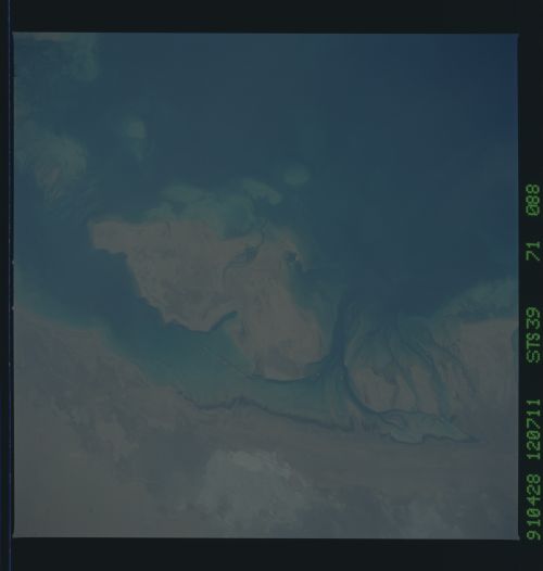
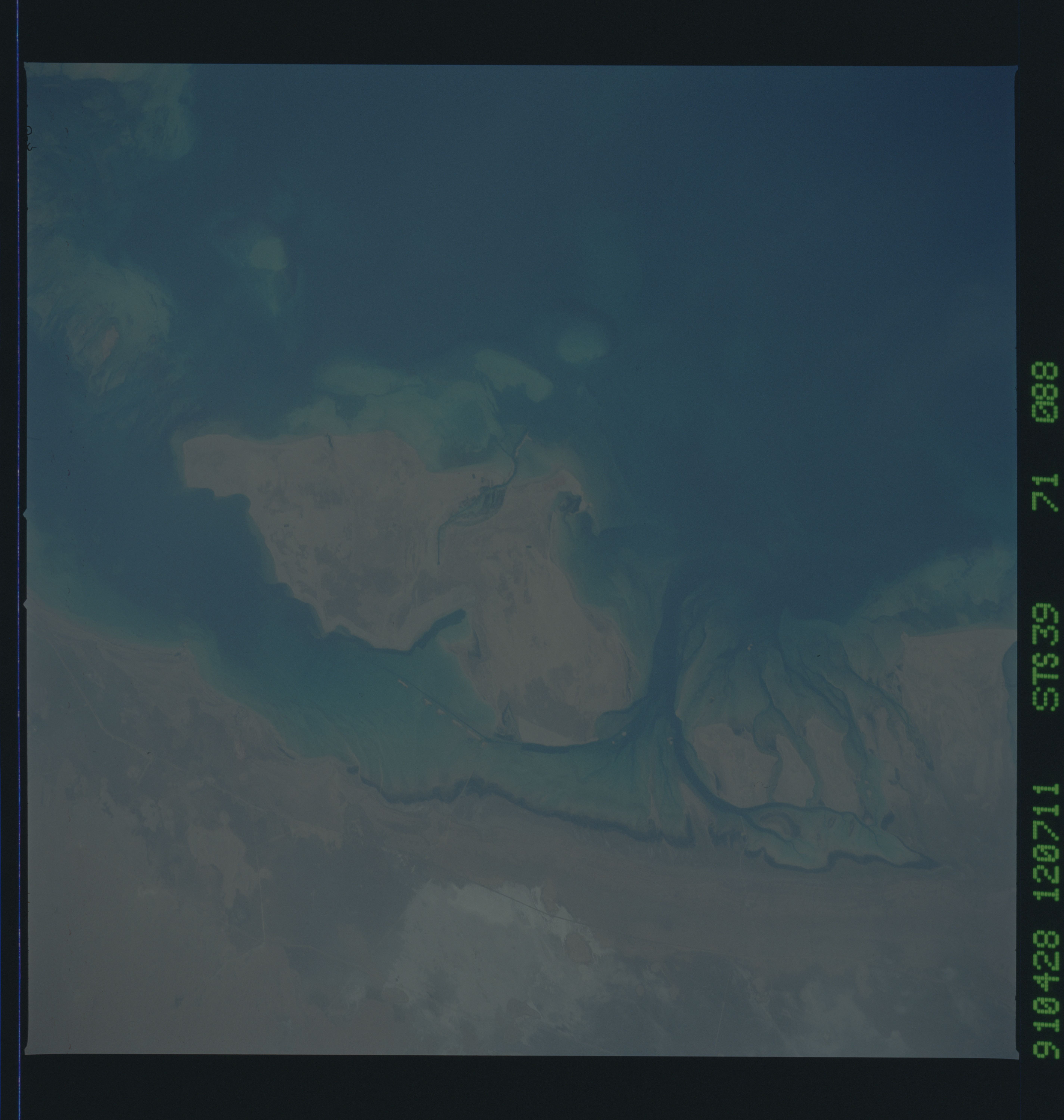
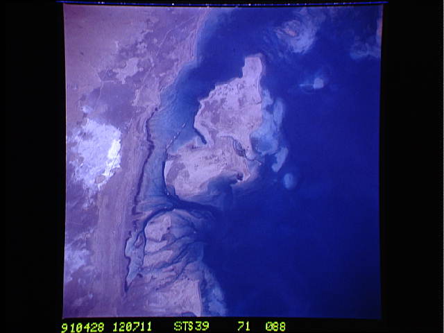
Image Caption: S39-71-088 -- OIL-POLLUTED BEACHES UNITED ARAB EMIRATES, SOUTHERN
PERSIAN GULF
The island in the middle of the frame is Al Jirab, 30 miles west of Abu Dhabi (all part of the United Arab Emirates) in the south- ern Persian Gulf. On the mainland beaches opposite the island, a thick and continuous black fringe of oil can be seen (line). If indeed this oil stems from damaged Kuwaiti offshore oil fields, the slick has been blown southwards fully 460 miles. The city of Tarif (T) has undoubtedly been affteced. Lighter brown slicks can be seen offshore. A causeway joins Al Jirab to the mainland (arrow). A dredged ship channel and associated islands can be seen west of the causeway (right of arrow).
Al Jirab Island, United Arab Emirates, in the Persian Gulf (24.0N, 54.0E) is an offshore oil tanker loading facility in the southern Persian Gulf. During the Gulf War in early 1991, drifting oil from the Kuwait Oil Fields, some 460 miles to the north, threatened the area. Seen as a dark blue floating mass as well as weathered patches of lighter brown, between the island and the mainland, the oil made its way into the channel, scaring the local beaches.
