STS037-78-7
| NASA Photo ID | STS037-78-7 |
| Focal Length | 250mm |
| Date taken | 1991.04.09 |
| Time taken | 15:02:09 GMT |
Cloud masks available for this image:
Spacecraft nadir point: 28.2° N, 111.7° W
Photo center point: 31.5° N, 113.5° W
Photo center point by machine learning:
Photo center point: 31.5° N, 113.5° W
Photo center point by machine learning:
Nadir to Photo Center: Northwest
Spacecraft Altitude: 244 nautical miles (452km)
Country or Geographic Name: | MEXICO |
Features: | GRAND DESERT, PINACATES |
| Features Found Using Machine Learning: | |
Cloud Cover Percentage: | 0 (no clouds present) |
Sun Elevation Angle: | 24° |
Sun Azimuth: | 94° |
Camera: | Hasselblad |
Focal Length: | 250mm |
Camera Tilt: | 43 degrees |
Format: | 5017: Kodak, natural color positive, Ektachrome, X Professional, ASA 64, standard base |
Film Exposure: | Normal |
| Additional Information | |
| Width | Height | Annotated | Cropped | Purpose | Links |
|---|---|---|---|---|---|
| 5700 pixels | 6000 pixels | No | No | Download Image | |
| 500 pixels | 526 pixels | No | No | Download Image | |
| 640 pixels | 480 pixels | No | No | Download Image |
Download Packaged File
Download a Google Earth KML for this Image
View photo footprint information
Download a GeoTIFF for this photo
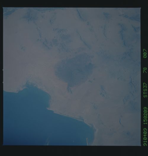
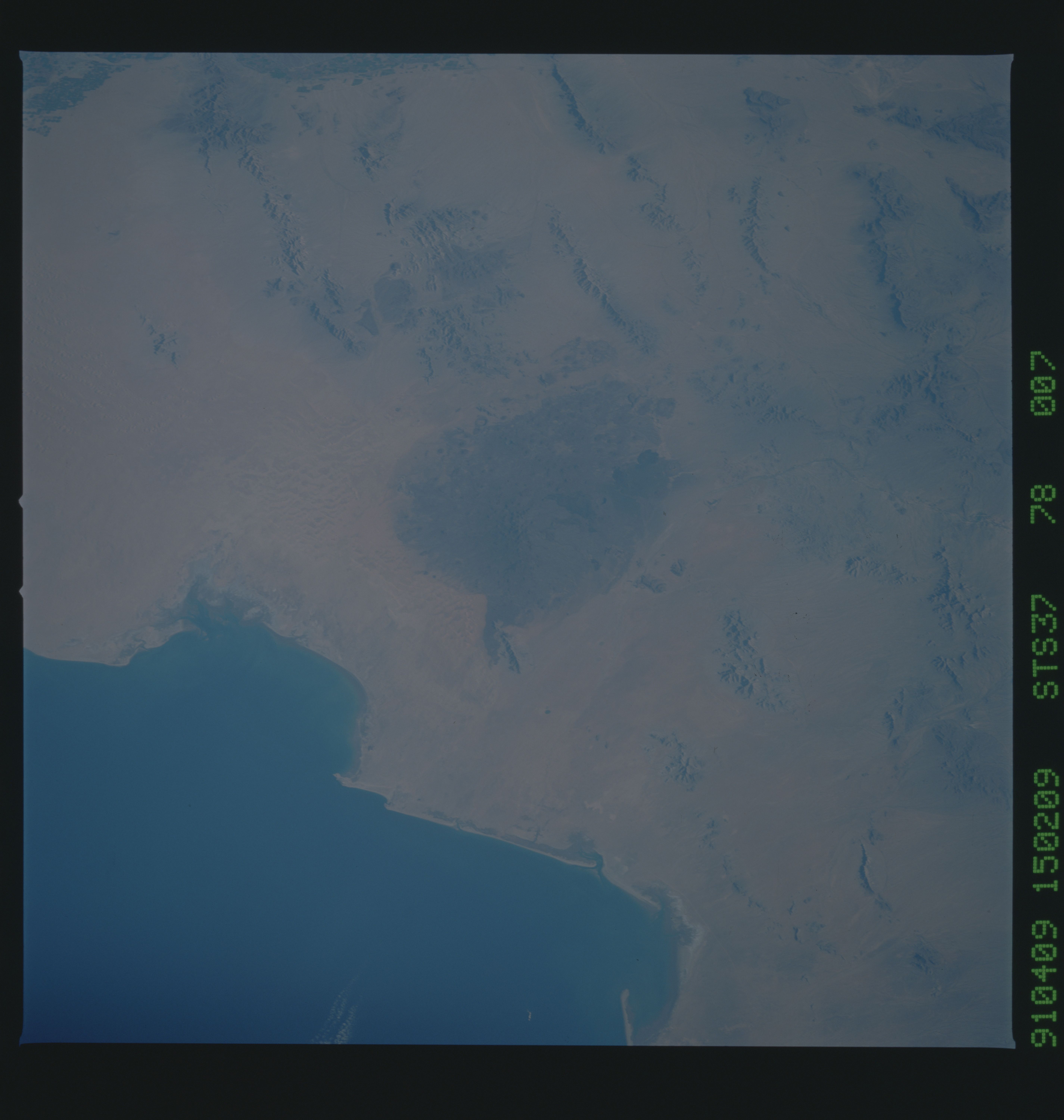
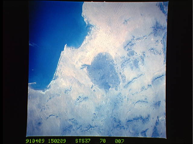
Image Caption: S37-152-24 & S37-78-007 Pinacates volcanic range,northern Sonora
The last good photo of the Pinacates was taken during Gemini.
This volcanic range, the result of sort-of a leaky transform
fault (it is located just to the east of where the San Andreas
fault system enters the Gulf of California), is one of the most
heavily cratered regions on earth. The craters are volcanic ex-
plosion craters. The large pit to the right (north) on the field
is Crater Elegante, and is x km in diameter by y deep.
