STS037-16-30
| NASA Photo ID | STS037-16-30 |
| Focal Length | 35mm |
| Date taken | 1991.04.10 |
| Time taken | 16:20:35 GMT |
Resolutions offered for this image:
640 x 480 pixels
640 x 480 pixels
Cloud masks available for this image:
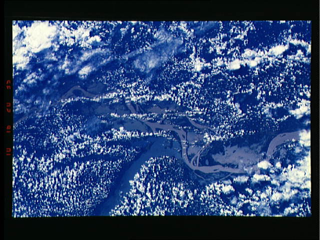
Spacecraft nadir point: 3.5° S, 53.3° W
Photo center point: 2.0° S, 55.0° W
Photo center point by machine learning:
Photo center point: 2.0° S, 55.0° W
Photo center point by machine learning:
Nadir to Photo Center: Northwest
Spacecraft Altitude: 248 nautical miles (459km)
Country or Geographic Name: | BRAZIL |
Features: | AMAZON, TAPAJOS RIVERS |
| Features Found Using Machine Learning: | |
Cloud Cover Percentage: | 60 (51-75)% |
Sun Elevation Angle: | 74° |
Sun Azimuth: | 315° |
Camera: | Nikon 35mm film camera |
Focal Length: | 35mm |
Camera Tilt: | 29 degrees |
Format: | 5017: Kodak, natural color positive, Ektachrome, X Professional, ASA 64, standard base |
Film Exposure: | Normal |
| Additional Information | |
| Width | Height | Annotated | Cropped | Purpose | Links |
|---|---|---|---|---|---|
| 640 pixels | 480 pixels | No | No | ISD 1 | Download Image |
Download Packaged File
Download a Google Earth KML for this Image
View photo footprint information
Download a GeoTIFF for this photo
Image Caption: none
