STS036-87-97

| NASA Photo ID | STS036-87-97 |
| Focal Length | 250mm |
| Date taken | 1990.03.03 |
| Time taken | 16:33:33 GMT |
Cloud masks available for this image:
Spacecraft nadir point: 60.5° N, 133.0° W
Photo center point: 60.0° N, 131.0° W
Photo center point by machine learning:
Photo center point: 60.0° N, 131.0° W
Photo center point by machine learning:
Nadir to Photo Center: East
Spacecraft Altitude: 115 nautical miles (213km)
Country or Geographic Name: | CANADA-YT |
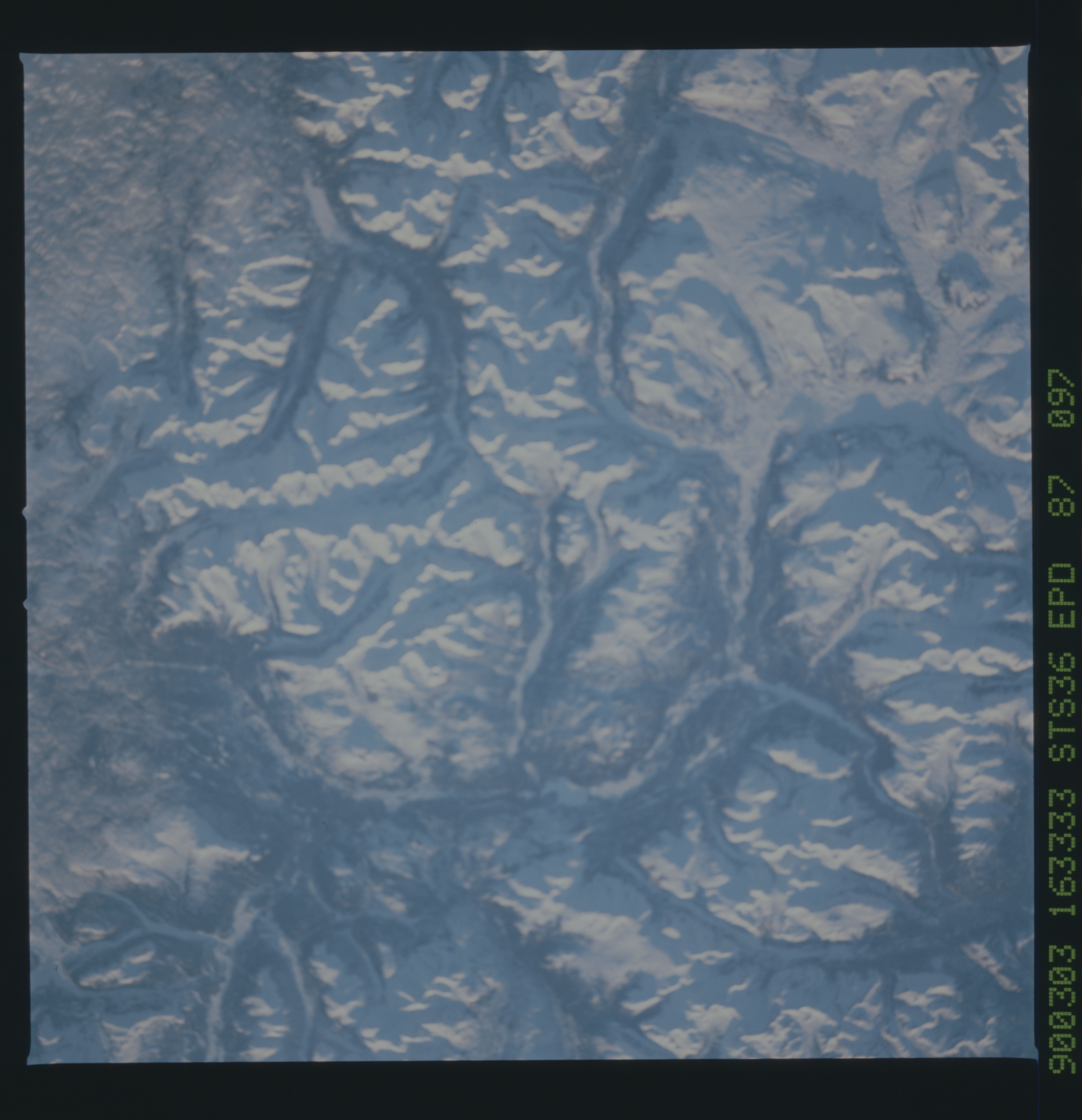
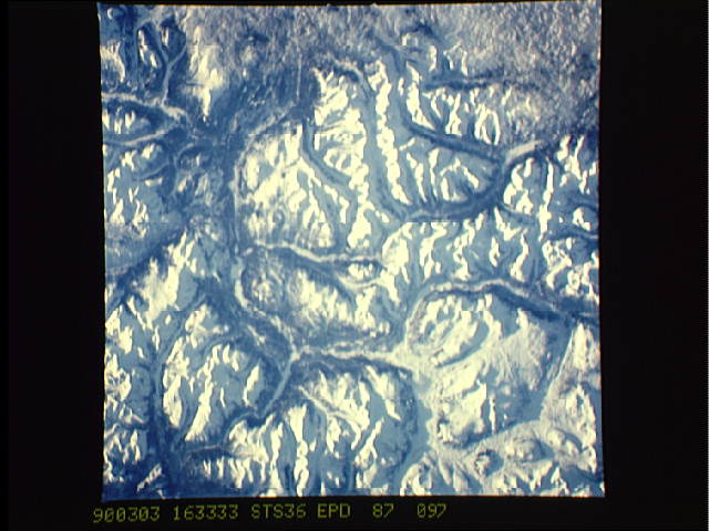
Features: | CASSIAR MOUNTAINS |
| Features Found Using Machine Learning: | |
Cloud Cover Percentage: | 10 (1-10)% |
Sun Elevation Angle: | 5° |
Sun Azimuth: | 113° |
Camera: | Hasselblad |
Focal Length: | 250mm |
Camera Tilt: | 47 degrees |
Format: | 5036: Kodak, natural color positive, Ektachrome 5036,200 Professional, ASA 200, stand |
Film Exposure: | Normal |
| Additional Information | |
| Width | Height | Annotated | Cropped | Purpose | Links |
|---|---|---|---|---|---|
| 5700 pixels | 5900 pixels | No | No | Download Image | |
| 500 pixels | 518 pixels | No | No | Download Image | |
| 640 pixels | 480 pixels | No | No | Download Image |
Download Packaged File
Download a Google Earth KML for this Image
View photo footprint information
Download a GeoTIFF for this photo
Image Caption: Many of the rugged inaccessible areas the world such as the Cassiar Mountains, Yukon Territory, Canada (60.0N, 131.0W), a part of the Rocky Mountain Range can be observed and studied from space using remote sensing techniques and technology. The remotness and rugged landscape make ground surveys a costly and expensive undertaking whereas remote sensing can yield much information at a tiny fraction of the cost and effort.

