STS036-152-203
| NASA Photo ID | STS036-152-203 |
| Focal Length | 250mm |
| Date taken | 1990.03.04 |
| Time taken | 07:28:46 GMT |
Resolutions offered for this image:
640 x 480 pixels
640 x 480 pixels
Cloud masks available for this image:
Spacecraft nadir point: 49.7° N, 30.6° E
Photo center point: 49.5° N, 30.5° E
Photo center point by machine learning:
Photo center point: 49.5° N, 30.5° E
Photo center point by machine learning:
Nadir to Photo Center: South
Spacecraft Altitude: 115 nautical miles (213km)
Country or Geographic Name: | UKRAINE |
Features: | BELA TSERKOV, AIRFLDS, AGR |
| Features Found Using Machine Learning: | |
Cloud Cover Percentage: | 40 (26-50)% |
Sun Elevation Angle: | 24° |
Sun Azimuth: | 135° |
Camera: | Linhof |
Focal Length: | 250mm |
Camera Tilt: | 7 degrees |
Format: | QX868: Kodak, natural color positive, Ektachrome QX868(5017 emulsion), ASA 64, thin base |
Film Exposure: | Normal |
| Additional Information | |
| Width | Height | Annotated | Cropped | Purpose | Links |
|---|---|---|---|---|---|
| 640 pixels | 480 pixels | No | No | ISD 1 | Download Image |
Download Packaged File
Download a Google Earth KML for this Image
View photo footprint information
Download a GeoTIFF for this photo
Image Caption:
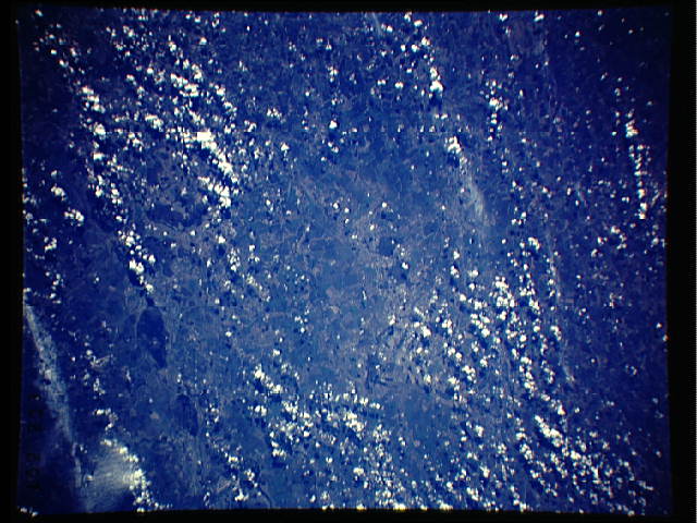
S36-152-203: Cloudscape, Kamchatka The eastern coastline of the
Kamchatka Peninsula is visible on the right side of the image.
Southwest wind-flow over mountains in the interior of the penin-
sula is producing wave patterns on top of the clouds.
S36-152-203: Cloudscape, Kamchatka The eastern coastline of the
Kamchatka Peninsula is visible on the right side of the image.
Southwest wind-flow over mountains in the interior of the penin-
sula is producing wave patterns on top of the clouds.
