STS036-152-126
| NASA Photo ID | STS036-152-126 |
| Focal Length | 250mm |
| Date taken | 1990.03.03 |
| Time taken | 16:45:27 GMT |
Resolutions offered for this image:
640 x 480 pixels
640 x 480 pixels
Cloud masks available for this image:
Spacecraft nadir point: 27.1° N, 82.5° W
Photo center point: 28.0° N, 82.5° W
Photo center point by machine learning:
Photo center point: 28.0° N, 82.5° W
Photo center point by machine learning:
Nadir to Photo Center: North
Spacecraft Altitude: 116 nautical miles (215km)
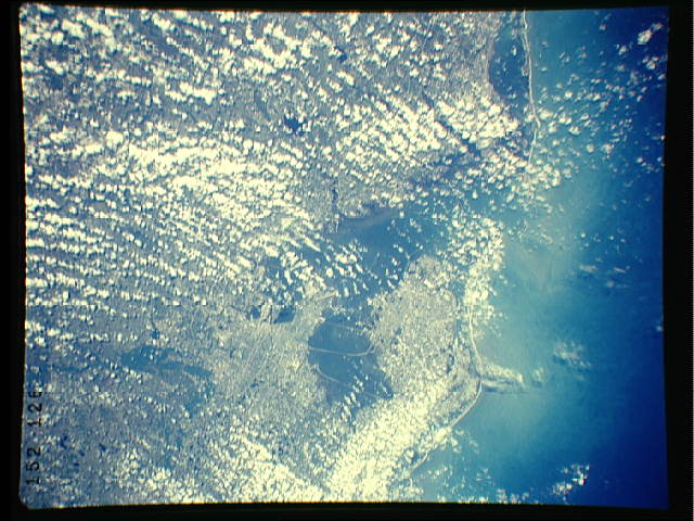
Country or Geographic Name: | USA-FLORIDA |
Features: | TAMPA & BAY, AGR, COAST |
| Features Found Using Machine Learning: | |
Cloud Cover Percentage: | 60 (51-75)% |
Sun Elevation Angle: | 54° |
Sun Azimuth: | 156° |
Camera: | Linhof |
Focal Length: | 250mm |
Camera Tilt: | 25 degrees |
Format: | QX868: Kodak, natural color positive, Ektachrome QX868(5017 emulsion), ASA 64, thin base |
Film Exposure: | Normal |
| Additional Information | |
| Width | Height | Annotated | Cropped | Purpose | Links |
|---|---|---|---|---|---|
| 640 pixels | 480 pixels | No | No | ISD 1 | Download Image |
Download Packaged File
Download a Google Earth KML for this Image
View photo footprint information
Download a GeoTIFF for this photo
Image Caption:
S36-152-126: Tennessee River, Alabama The Tennessee River
through Florence, Alabama (in the north part of the state). The
stream flows west. Left of Florence is Pickwick Lake (reservoir);
right is Wheeler Lake.
S36-152-126: Tennessee River, Alabama The Tennessee River
through Florence, Alabama (in the north part of the state). The
stream flows west. Left of Florence is Pickwick Lake (reservoir);
right is Wheeler Lake.
