STS035-84-33
| NASA Photo ID | STS035-84-33 |
| Focal Length | 250mm |
| Date taken | 1990.12.04 |
| Time taken | 08:44:52 GMT |

Cloud masks available for this image:
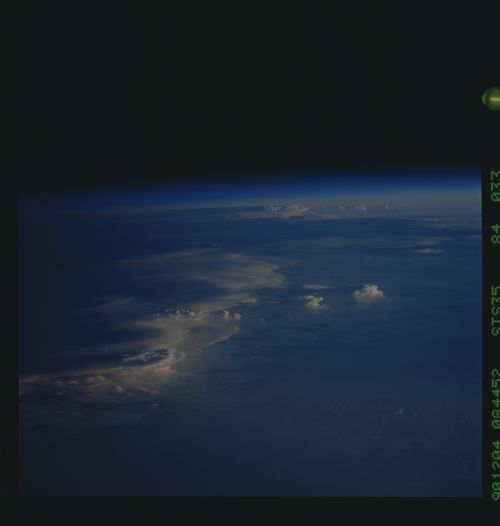
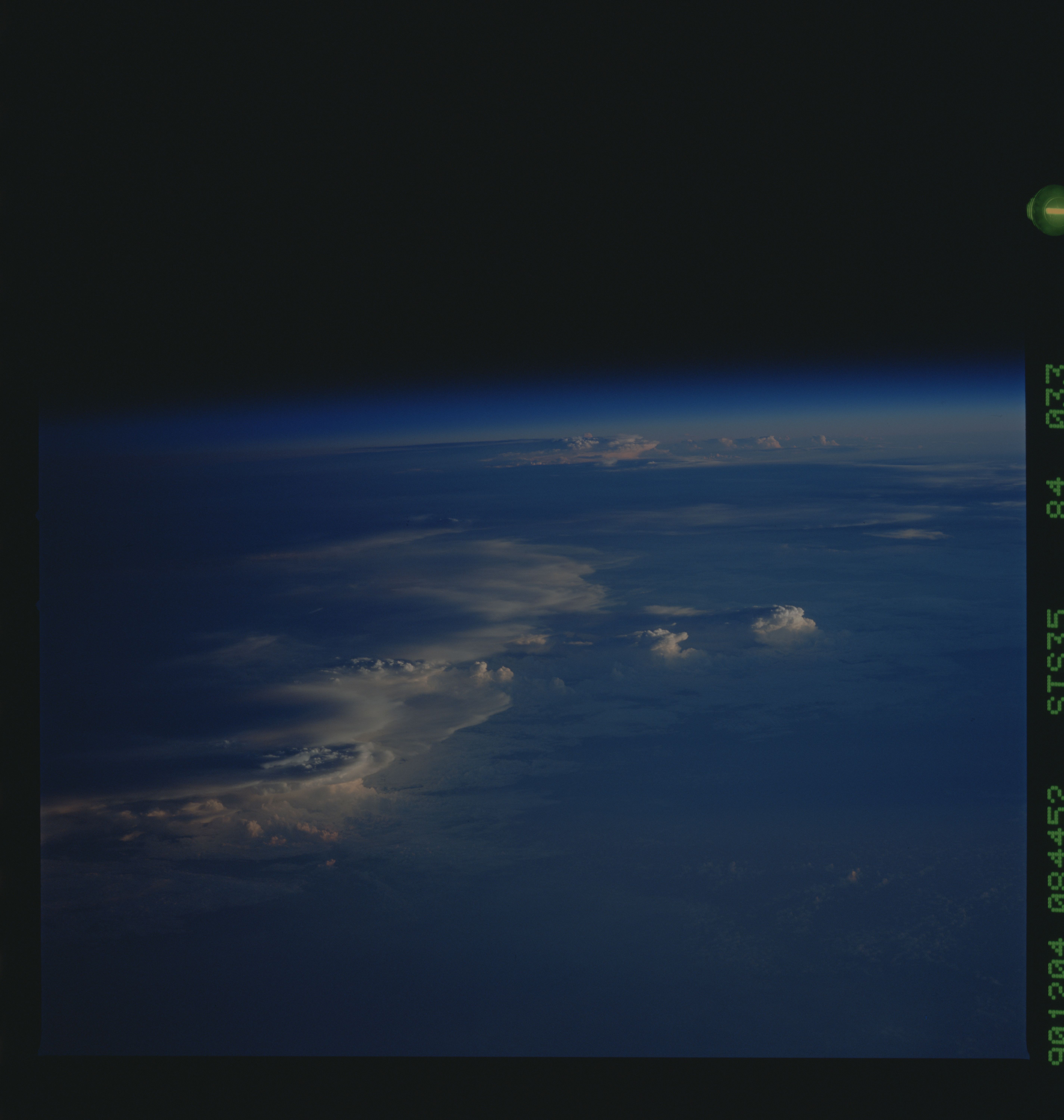
Spacecraft nadir point: 4.7° S, 137.1° E
Photo center point:
Photo center point by machine learning:
Photo center point:
Photo center point by machine learning:
Nadir to Photo Center:
Spacecraft Altitude: 187 nautical miles (346km)
Country or Geographic Name: | AUSTRALIA |
Features: | PAN-STORM CELLS, LOW SUN |
| Features Found Using Machine Learning: | |
Cloud Cover Percentage: | 100 (76-100)% |
Sun Elevation Angle: | 1° |
Sun Azimuth: | 247° |
Camera: | Hasselblad |
Focal Length: | 250mm |
Camera Tilt: | High Oblique |
Format: | 5017: Kodak, natural color positive, Ektachrome, X Professional, ASA 64, standard base |
Film Exposure: | Under Exposed |
| Additional Information | |
| Width | Height | Annotated | Cropped | Purpose | Links |
|---|---|---|---|---|---|
| 5700 pixels | 6000 pixels | No | No | Download Image | |
| 500 pixels | 526 pixels | No | No | Download Image | |
| 640 pixels | 480 pixels | No | No | Download Image |
Download Packaged File
Download a Google Earth KML for this Image
View photo footprint information
Download a GeoTIFF for this photo
Image Caption: This tropical thunderstorm was photographed near the vicinity of the SW coast of New Guinea, exact location unknown. The low angle of the late afternoon sun made for some interesting illumination effects of the cloud tops. This tropical storm displays all of the hallmarks of a full fledged storm with cumulonimbus clouds and towering anvils spread over several hundred square miles.
