STS035-76-66
| NASA Photo ID | STS035-76-66 |
| Focal Length | 250mm |
| Date taken | 1990.12.08 |
| Time taken | 05:31:42 GMT |
Resolutions offered for this image:
3936 x 3872 pixels 639 x 629 pixels 5700 x 6000 pixels 500 x 526 pixels 640 x 480 pixels
3936 x 3872 pixels 639 x 629 pixels 5700 x 6000 pixels 500 x 526 pixels 640 x 480 pixels
Cloud masks available for this image:
Spacecraft nadir point: 18.3° S, 124.6° E
Photo center point: 19.5° S, 123.5° E
Photo center point by machine learning:
Photo center point: 19.5° S, 123.5° E
Photo center point by machine learning:
Nadir to Photo Center: Southwest
Spacecraft Altitude: 187 nautical miles (346km)
Country or Geographic Name: | AUSTRALIA-WA |
Features: | GEEGULLY CREEK |
| Features Found Using Machine Learning: | |
Cloud Cover Percentage: | 0 (no clouds present) |
Sun Elevation Angle: | 61° |
Sun Azimuth: | 255° |
Camera: | Hasselblad |
Focal Length: | 250mm |
Camera Tilt: | 28 degrees |
Format: | 5017: Kodak, natural color positive, Ektachrome, X Professional, ASA 64, standard base |
Film Exposure: | Normal |
| Additional Information | |
| Width | Height | Annotated | Cropped | Purpose | Links |
|---|---|---|---|---|---|
| 3936 pixels | 3872 pixels | No | No | Earth From Space collection | Download Image |
| 639 pixels | 629 pixels | No | No | Earth From Space collection | Download Image |
| 5700 pixels | 6000 pixels | No | No | Download Image | |
| 500 pixels | 526 pixels | No | No | Download Image | |
| 640 pixels | 480 pixels | No | No | Download Image |
Download Packaged File
Download a Google Earth KML for this Image
View photo footprint information
Download a GeoTIFF for this photo
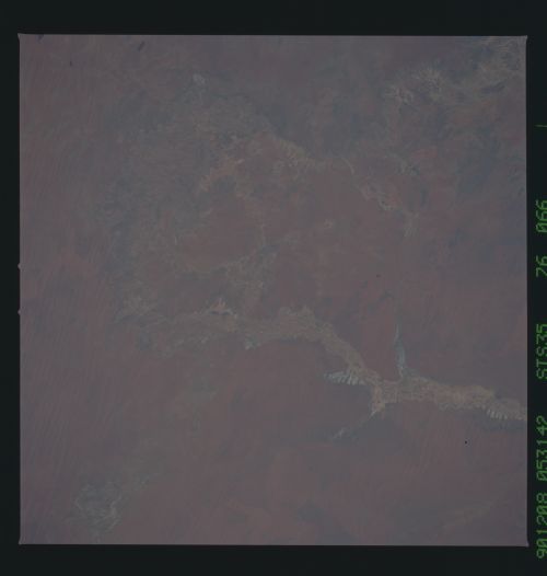
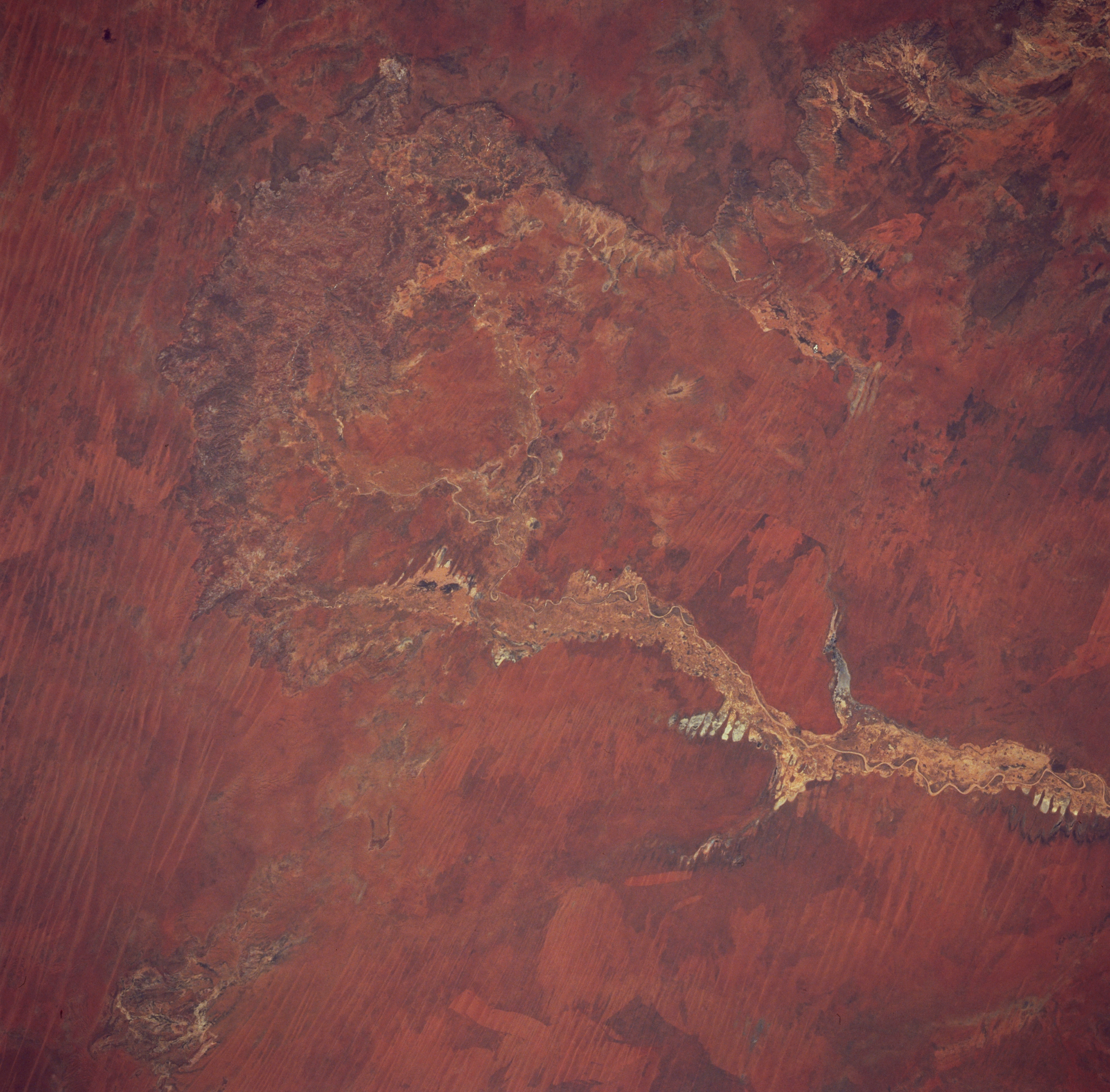
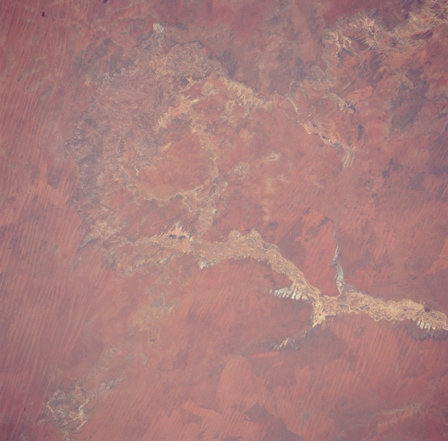
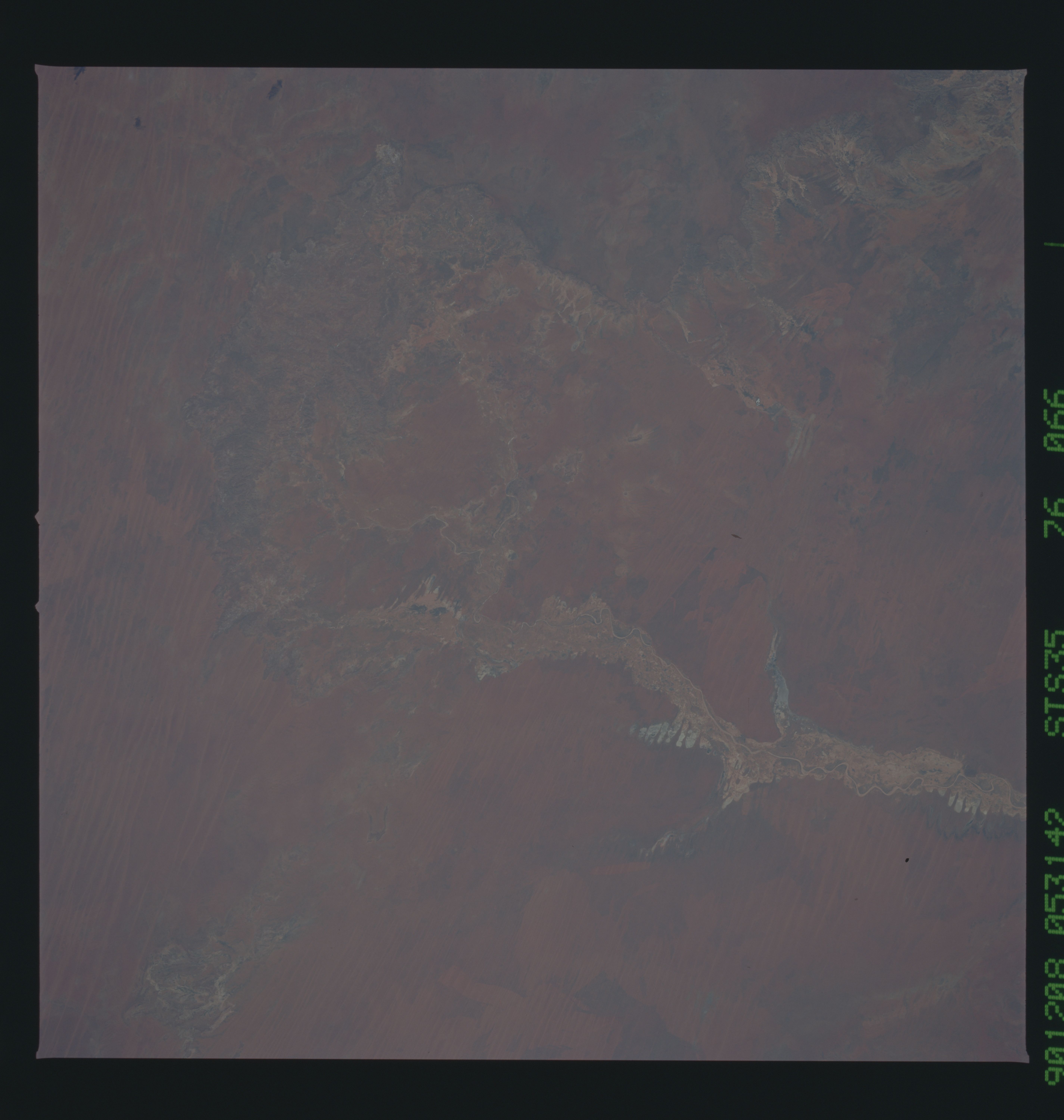
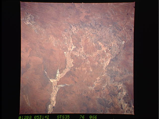
Image Caption: STS035-076-066 Geegully Creek, Western Australia, Australia December 1990
Geegully Creek, a short tributary of the Fitzroy River in northern Western Australia, is an intermittent stream that drains northward from the Edgar Range. Numerous stream channels and a fairly wide floodplain are visible in this image of Geegully Creek. The floodplain also includes several dry lake beds (lighter-colored features seen as fingers extending out from the main stream channel). The parallel, linear pattern that cuts across the picture are east-west aligned sand ridges. Some of this grassy landscape shows unusual dark-light designs that have been produced by grass fires.
Geegully Creek, a short tributary of the Fitzroy River in northern Western Australia, is an intermittent stream that drains northward from the Edgar Range. Numerous stream channels and a fairly wide floodplain are visible in this image of Geegully Creek. The floodplain also includes several dry lake beds (lighter-colored features seen as fingers extending out from the main stream channel). The parallel, linear pattern that cuts across the picture are east-west aligned sand ridges. Some of this grassy landscape shows unusual dark-light designs that have been produced by grass fires.
