STS035-73-82
| NASA Photo ID | STS035-73-82 |
| Focal Length | 100mm |
| Date taken | 1990.12.04 |
| Time taken | 11:11:38 GMT |
Cloud masks available for this image:
Spacecraft nadir point: 13.1° S, 46.4° W
Photo center point: 13.5° S, 43.5° W
Photo center point by machine learning:
Photo center point: 13.5° S, 43.5° W
Photo center point by machine learning:
Nadir to Photo Center: East
Spacecraft Altitude: 191 nautical miles (354km)
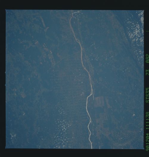
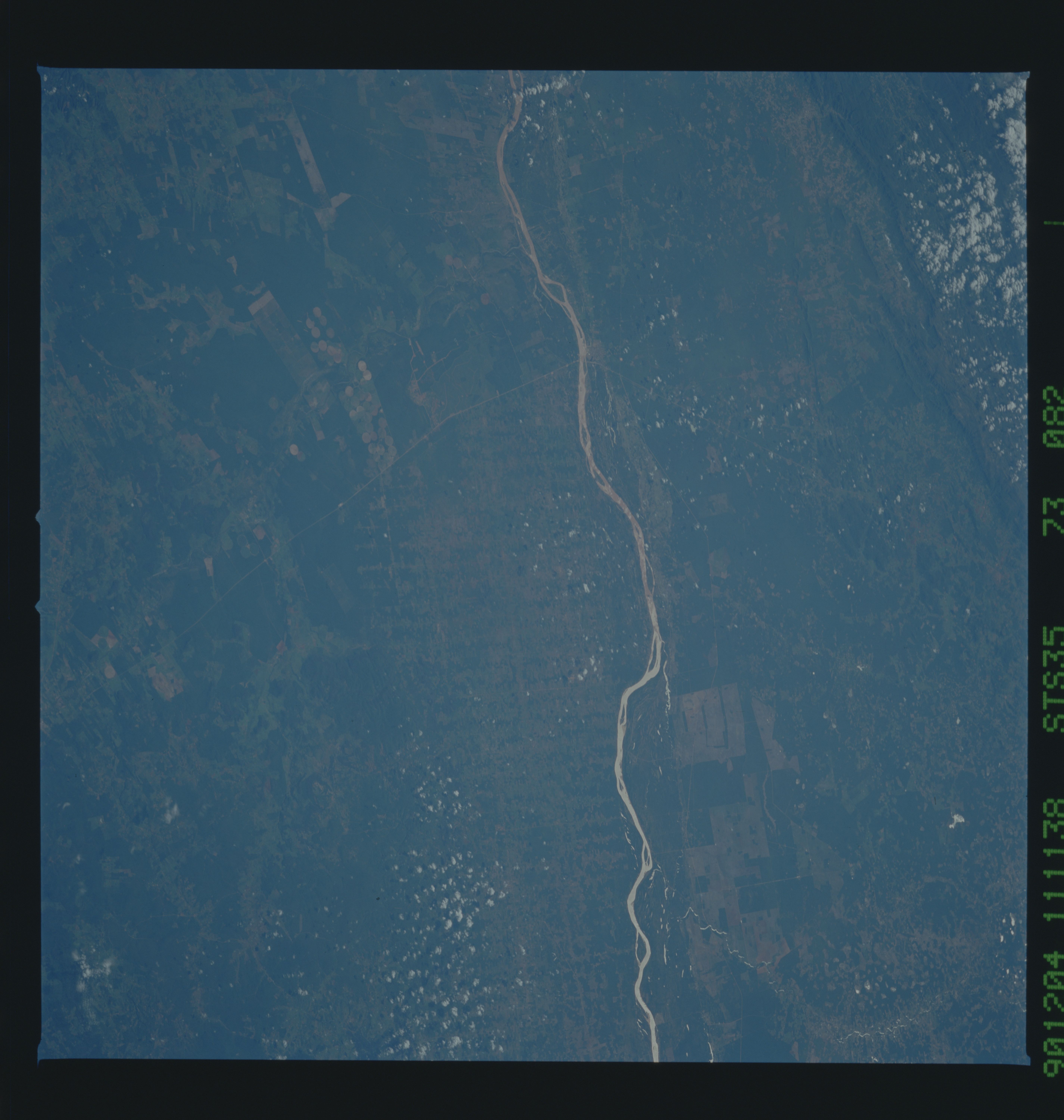
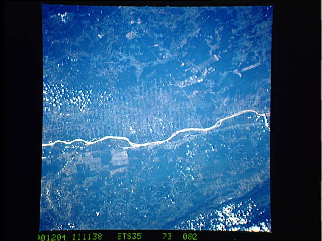
Country or Geographic Name: | BRAZIL |
Features: | FRANCISCO RIVER |
| Features Found Using Machine Learning: | |
Cloud Cover Percentage: | 10 (1-10)% |
Sun Elevation Angle: | 36° |
Sun Azimuth: | 108° |
Camera: | Hasselblad |
Focal Length: | 100mm |
Camera Tilt: | 43 degrees |
Format: | 5017: Kodak, natural color positive, Ektachrome, X Professional, ASA 64, standard base |
Film Exposure: | Normal |
| Additional Information | |
| Width | Height | Annotated | Cropped | Purpose | Links |
|---|---|---|---|---|---|
| 5700 pixels | 6000 pixels | No | No | Download Image | |
| 500 pixels | 526 pixels | No | No | Download Image | |
| 640 pixels | 480 pixels | No | No | Download Image |
Download Packaged File
Download a Google Earth KML for this Image
View photo footprint information
Download a GeoTIFF for this photo
Image Caption: This agricultural and Ranching area, Rio Sao Francisco, Brazil (13.0S, 43.5W) has been under study for several years. See scene STS-31-92-045 for comparison. This area has many small single family subsistence farms, large square and rectangular commercial farms and pastures for livestock grazing. Over the several years of observation, the number and size of farms has increased and center-pivot, swing-arm irrigation systems have been installed.
