STS034-84-92
| NASA Photo ID | STS034-84-92 |
| Focal Length | 250mm |
| Date taken | 1989.10.22 |
| Time taken | 13:35:34 GMT |
Cloud masks available for this image:
Spacecraft nadir point: 10.2° N, 51.7° E
Photo center point: 10.5° N, 51.0° E
Photo center point by machine learning:
Photo center point: 10.5° N, 51.0° E
Photo center point by machine learning:
Nadir to Photo Center: West
Spacecraft Altitude: 166 nautical miles (307km)
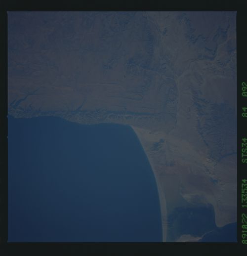
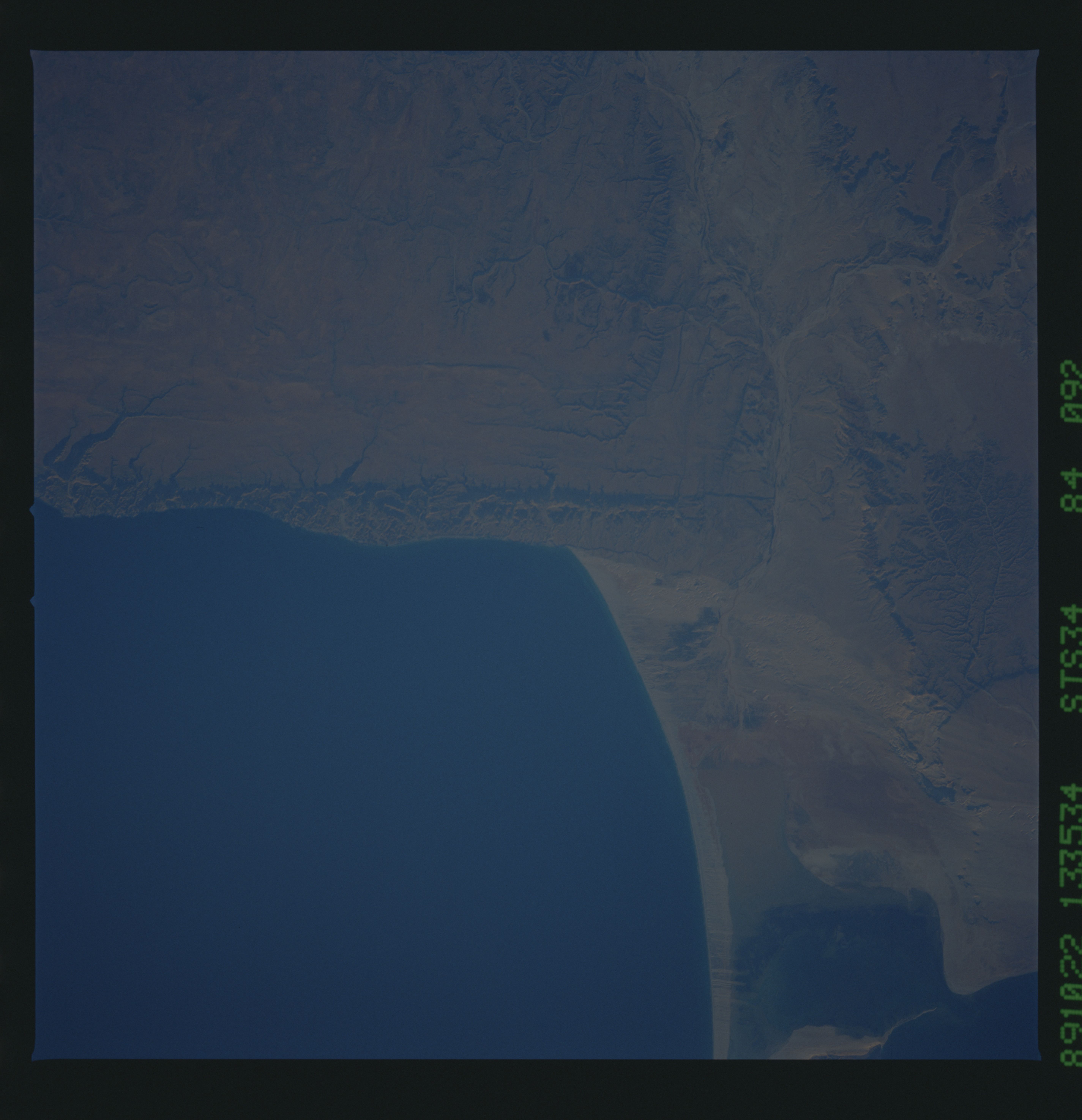
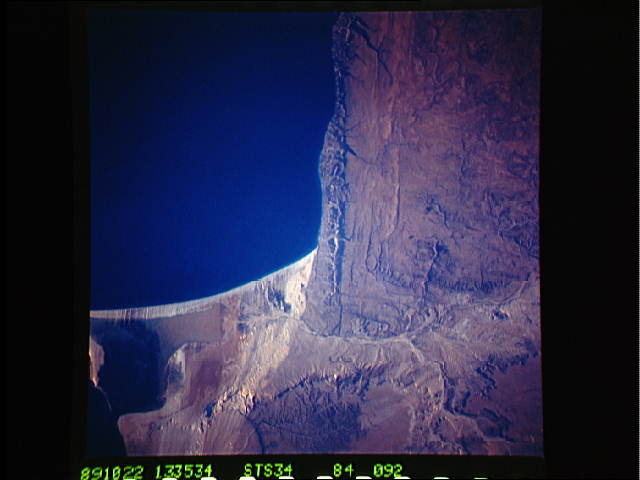
Country or Geographic Name: | SOMALIA |
Features: | COASTLINE |
| Features Found Using Machine Learning: | |
Cloud Cover Percentage: | 0 (no clouds present) |
Sun Elevation Angle: | 8° |
Sun Azimuth: | 257° |
Camera: | Hasselblad |
Focal Length: | 250mm |
Camera Tilt: | 15 degrees |
Format: | 5017: Kodak, natural color positive, Ektachrome, X Professional, ASA 64, standard base |
Film Exposure: | Normal |
| Additional Information | |
| Width | Height | Annotated | Cropped | Purpose | Links |
|---|---|---|---|---|---|
| 5700 pixels | 5900 pixels | No | No | Download Image | |
| 500 pixels | 518 pixels | No | No | Download Image | |
| 640 pixels | 480 pixels | No | No | Download Image |
Download Packaged File
Download a Google Earth KML for this Image
View photo footprint information
Download a GeoTIFF for this photo
Image Caption:
Curvilinear bedform streak. In this near-nadir view, a large,
light-colored sand streak can be seen sweeping north out of a bay
on the coast of Somalia near the Horn of Africa. Barchan dunes
can be identified within the streak. NASA Photograph STS034-84-
092.
Curvilinear bedform streak. In this near-nadir view, a large,
light-colored sand streak can be seen sweeping north out of a bay
on the coast of Somalia near the Horn of Africa. Barchan dunes
can be identified within the streak. NASA Photograph STS034-84-
092.
