STS034-76-24
| NASA Photo ID | STS034-76-24 |
| Focal Length | 100mm |
| Date taken | 1989.10.20 |
| Time taken | 14:36:41 GMT |
Cloud masks available for this image:
Spacecraft nadir point: 24.6° N, 25.2° E
Photo center point: 22.5° N, 25.0° E
Photo center point by machine learning:
Photo center point: 22.5° N, 25.0° E
Photo center point by machine learning:
Nadir to Photo Center: South
Spacecraft Altitude: 168 nautical miles (311km)
Camera: | Hasselblad |
Focal Length: | 100mm |
Camera Tilt: | 37 degrees |
Format: | 5017: Kodak, natural color positive, Ektachrome, X Professional, ASA 64, standard base |
Film Exposure: | Normal |
| Additional Information | |
| Width | Height | Annotated | Cropped | Purpose | Links |
|---|---|---|---|---|---|
| 5700 pixels | 5900 pixels | No | No | Download Image | |
| 500 pixels | 518 pixels | No | No | Download Image | |
| 640 pixels | 480 pixels | No | No | Download Image |
Download Packaged File
Download a Google Earth KML for this Image
View photo footprint information
Download a GeoTIFF for this photo
Image Caption:
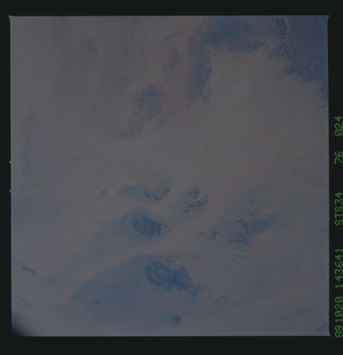
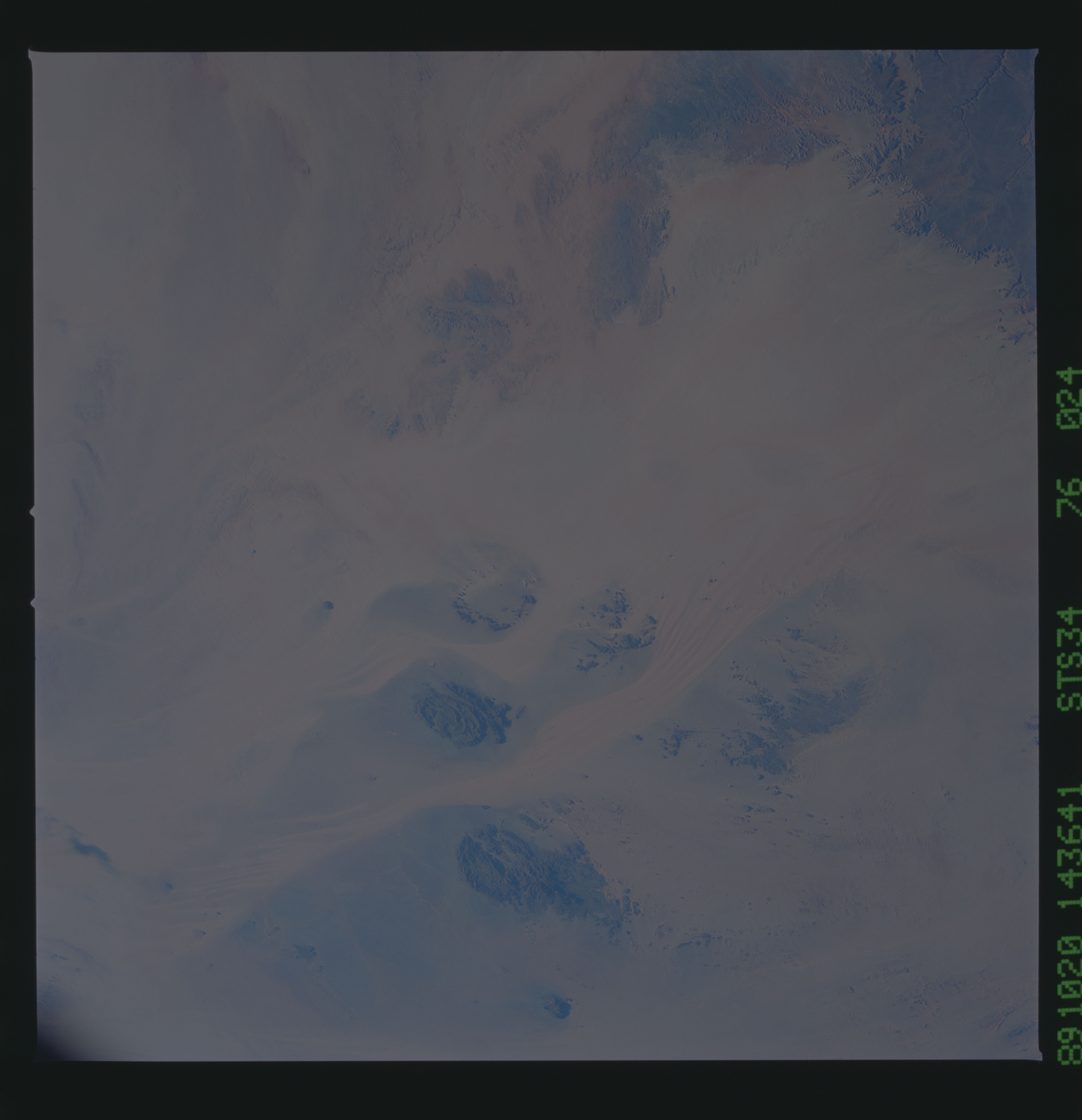
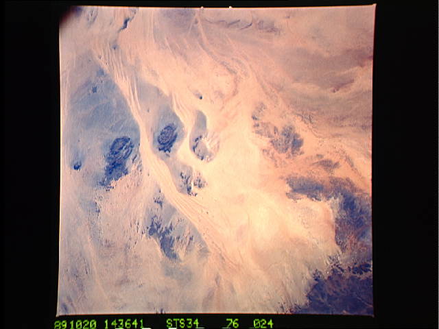
Bedform sand streaks in the Gilf Kebir Plateau-Uweinat Mountains
region of the desert of southwest Egypt. In this southeast-
looking view, the oval of dark rock at the top is Gebel Oweinat,
where the international borders of Egypt, the Sudan, and Libya
meet. Large sand streaks can be seen winding between this and
other dark massifs. Sandless areas (erosion streaks) of inter-
mediate albedo between these sand sheets are of the same size and
shape as many streaks identified on the surface of Mars. NASA
Photograph STS034-76-024.
