STS034-74-77
| NASA Photo ID | STS034-74-77 |
| Focal Length | 250mm |
| Date taken | 1989.10.22 |
| Time taken | 19:26:43 GMT |
Resolutions offered for this image:
3904 x 3832 pixels 639 x 628 pixels 5700 x 5900 pixels 500 x 518 pixels 640 x 480 pixels
3904 x 3832 pixels 639 x 628 pixels 5700 x 5900 pixels 500 x 518 pixels 640 x 480 pixels
Cloud masks available for this image:
Spacecraft nadir point: 30.6° N, 82.4° W
Photo center point: 30.0° N, 82.0° W
Photo center point by machine learning:
Photo center point: 30.0° N, 82.0° W
Photo center point by machine learning:
Nadir to Photo Center: Southeast
Spacecraft Altitude: 175 nautical miles (324km)
Country or Geographic Name: | USA-FLORIDA |
Features: | JACKSONVILLE, ST. JOHNS R. |
| Features Found Using Machine Learning: | |
Cloud Cover Percentage: | 0 (no clouds present) |
Sun Elevation Angle: | 37° |
Sun Azimuth: | 222° |
Camera: | Hasselblad |
Focal Length: | 250mm |
Camera Tilt: | 14 degrees |
Format: | 5017: Kodak, natural color positive, Ektachrome, X Professional, ASA 64, standard base |
Film Exposure: | Normal |
| Additional Information | |
| Width | Height | Annotated | Cropped | Purpose | Links |
|---|---|---|---|---|---|
| 3904 pixels | 3832 pixels | No | No | Earth From Space collection | Download Image |
| 639 pixels | 628 pixels | No | No | Earth From Space collection | Download Image |
| 5700 pixels | 5900 pixels | No | No | Download Image | |
| 500 pixels | 518 pixels | No | No | Download Image | |
| 640 pixels | 480 pixels | No | No | Download Image |
Download Packaged File
Download a Google Earth KML for this Image
View photo footprint information
Download a GeoTIFF for this photo
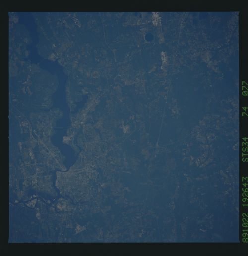
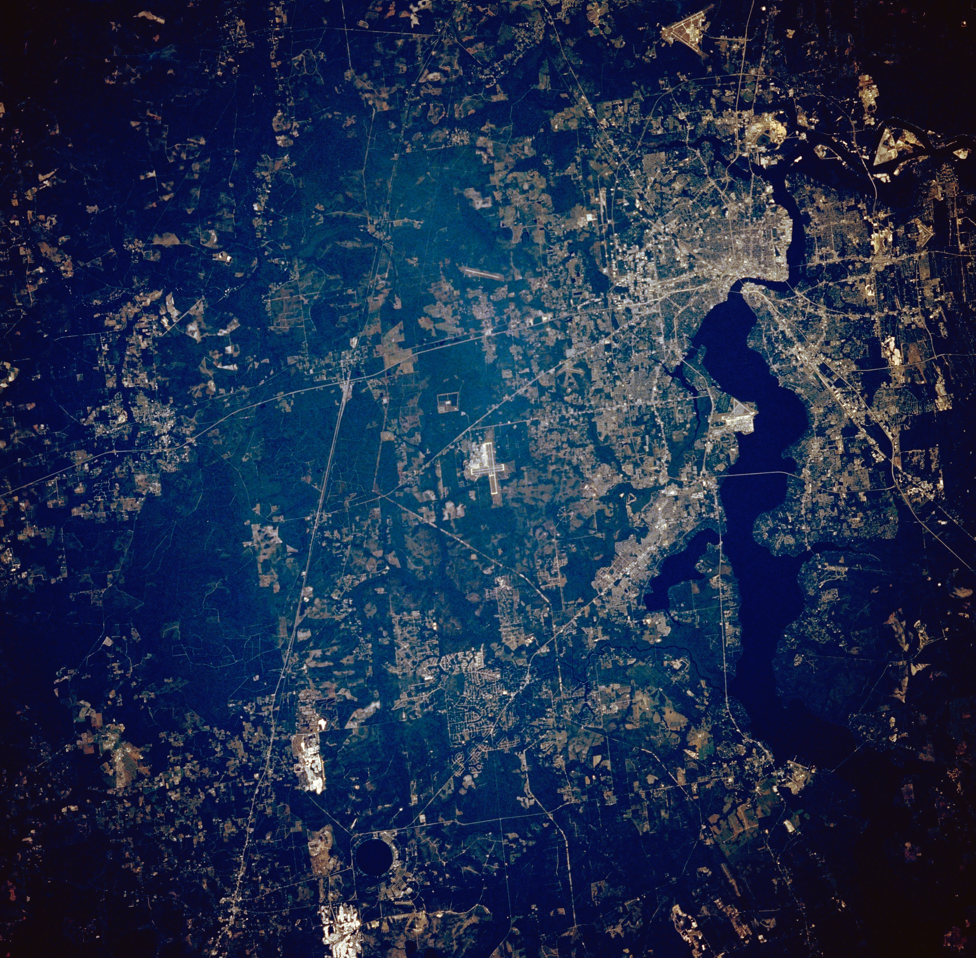
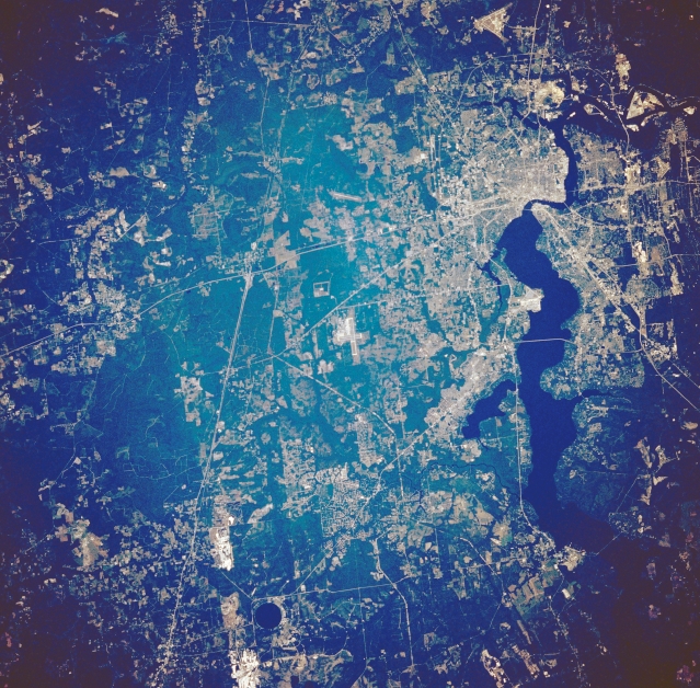
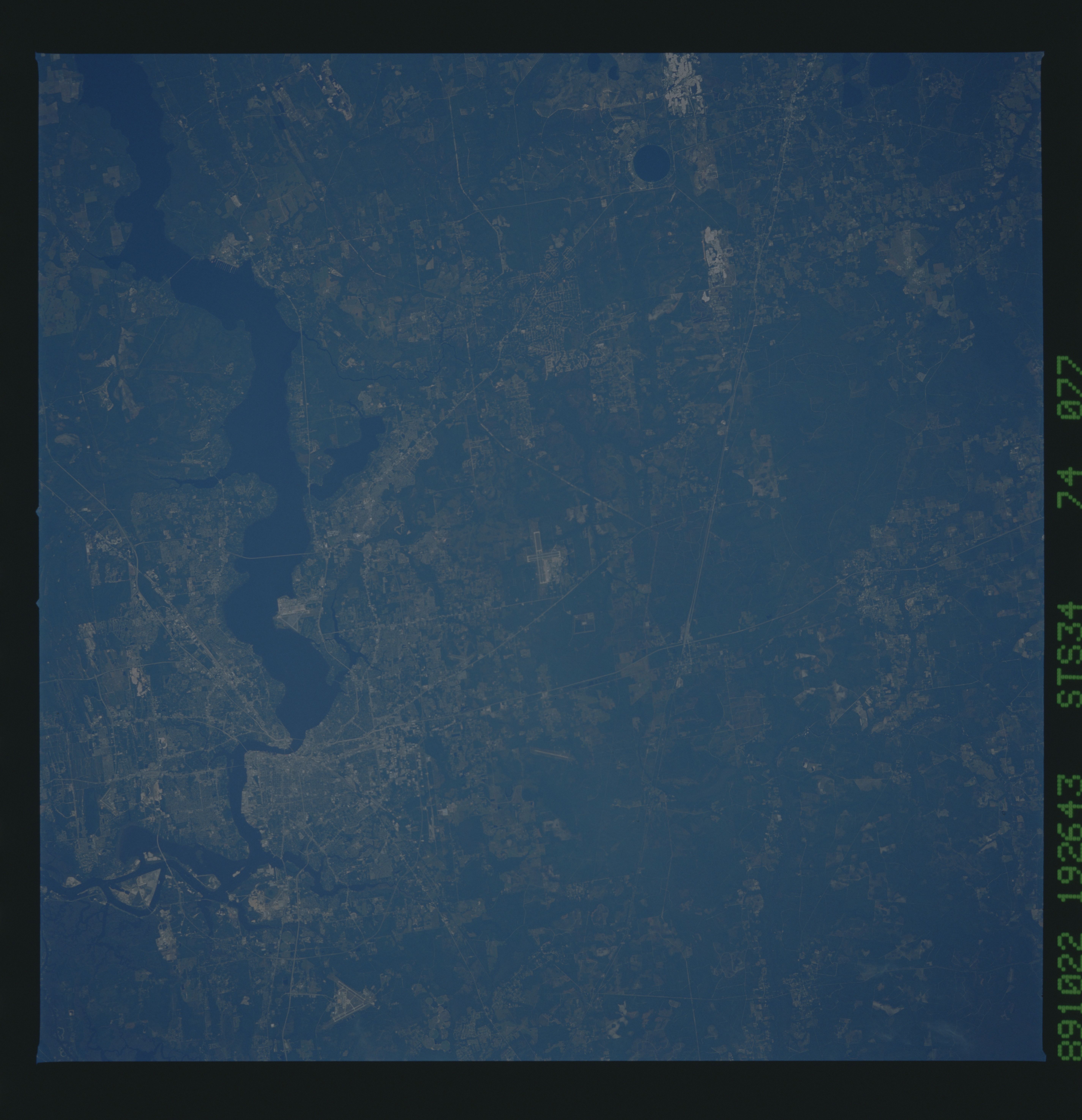
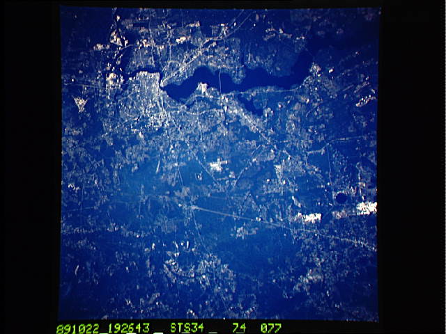
Image Caption: STS034-074-077 Northeast Florida, U.S.A. October 1989
Man's impact on northeastern Florida is vividly documented in this low-oblique, north-looking photograph of the area surrounding Jacksonville and the extensive highway network radiating outward--north-south-oriented Interstate Highway 95, east-west-oriented Interstate Highway 10, and northeast-southwest-aligned U. S. Highway 301. Downtown Jacksonville lies along the northwest shore of the Saint Johns River at its 90deg-turn eastward. Runways of three airports are visible--Jacksonville International Airport north of the city; Cecil Field Naval Air Station southwest of the city; and Jacksonville Naval Air Station south and immediately west of the dark, wide, north-flowing Saint Johns River. Two highly reflective areas (bottom left) are probably limestone quarries. The darker features scattered across the low-lying, flat terrain are wooded swamps.
Man's impact on northeastern Florida is vividly documented in this low-oblique, north-looking photograph of the area surrounding Jacksonville and the extensive highway network radiating outward--north-south-oriented Interstate Highway 95, east-west-oriented Interstate Highway 10, and northeast-southwest-aligned U. S. Highway 301. Downtown Jacksonville lies along the northwest shore of the Saint Johns River at its 90deg-turn eastward. Runways of three airports are visible--Jacksonville International Airport north of the city; Cecil Field Naval Air Station southwest of the city; and Jacksonville Naval Air Station south and immediately west of the dark, wide, north-flowing Saint Johns River. Two highly reflective areas (bottom left) are probably limestone quarries. The darker features scattered across the low-lying, flat terrain are wooded swamps.
