STS034-74-101
| NASA Photo ID | STS034-74-101 |
| Focal Length | 250mm |
| Date taken | 1989.10.22 |
| Time taken | 20:58:22 GMT |
Resolutions offered for this image:
5246 x 5246 pixels 640 x 640 pixels 5700 x 5900 pixels 500 x 518 pixels 640 x 480 pixels 1296 x 1279 pixels
5246 x 5246 pixels 640 x 640 pixels 5700 x 5900 pixels 500 x 518 pixels 640 x 480 pixels 1296 x 1279 pixels
Cloud masks available for this image:
Spacecraft nadir point: 29.5° N, 101.6° W
Photo center point: 29.5° N, 101.0° W
Photo center point by machine learning:
Photo center point: 29.5° N, 101.0° W
Photo center point by machine learning:
Nadir to Photo Center: East
Spacecraft Altitude: 174 nautical miles (322km)
Country or Geographic Name: | MEXICO |
Features: | RIO GRANDE, AMISTAD RES. |
| Features Found Using Machine Learning: | |
Cloud Cover Percentage: | 15 (11-25)% |
Sun Elevation Angle: | 36° |
Sun Azimuth: | 226° |
Camera: | Hasselblad |
Focal Length: | 250mm |
Camera Tilt: | 12 degrees |
Format: | 5017: Kodak, natural color positive, Ektachrome, X Professional, ASA 64, standard base |
Film Exposure: | Normal |
| Additional Information | |
| Width | Height | Annotated | Cropped | Purpose | Links |
|---|---|---|---|---|---|
| 5246 pixels | 5246 pixels | No | No | Earth From Space collection | Download Image |
| 640 pixels | 640 pixels | No | No | Earth From Space collection | Download Image |
| 5700 pixels | 5900 pixels | No | No | Download Image | |
| 500 pixels | 518 pixels | No | No | Download Image | |
| 640 pixels | 480 pixels | No | No | Download Image | |
| 1296 pixels | 1279 pixels | Download Image |
Download Packaged File
Download a Google Earth KML for this Image
View photo footprint information
Download a GeoTIFF for this photo
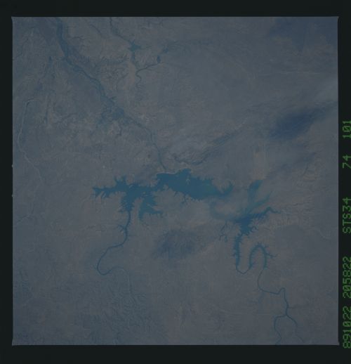
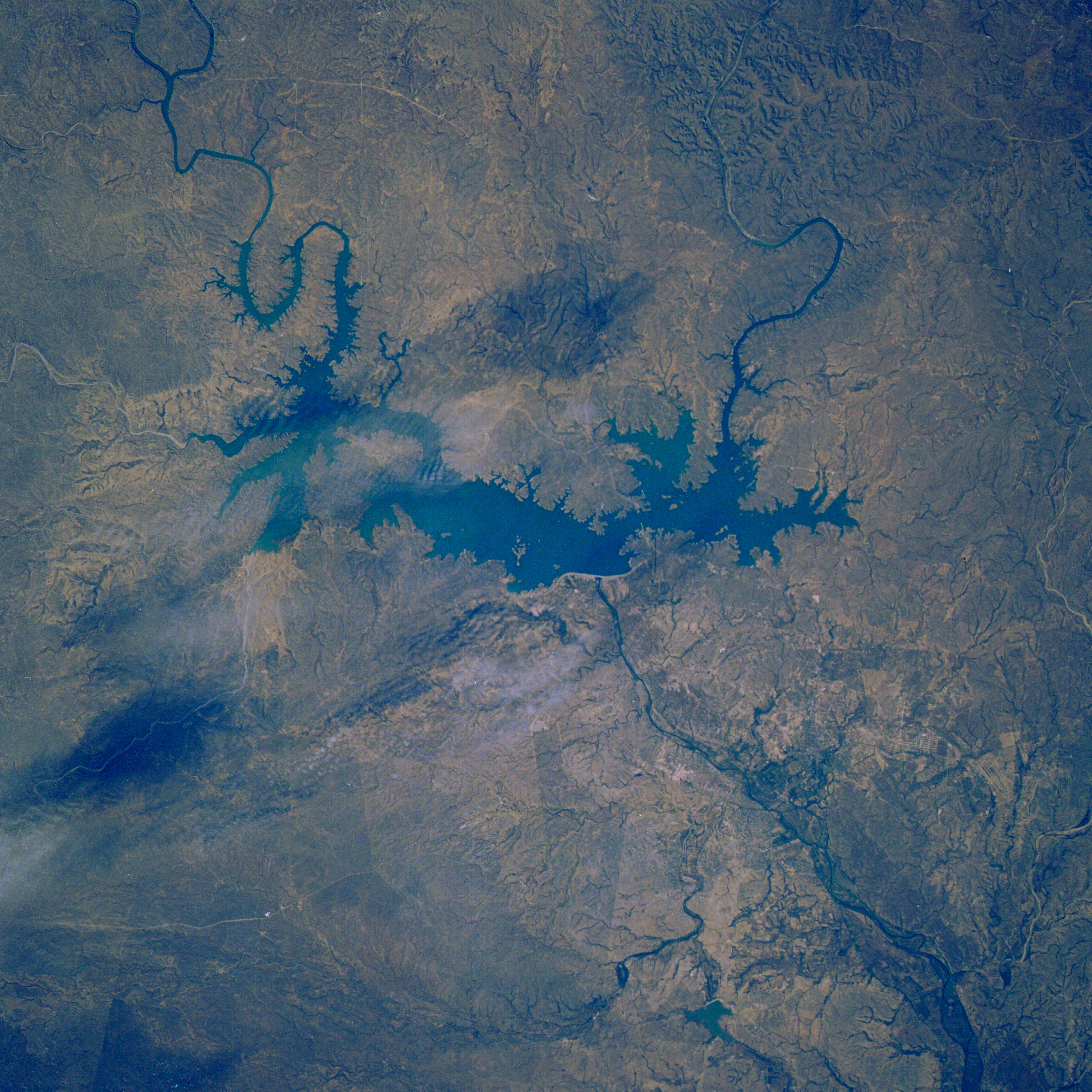
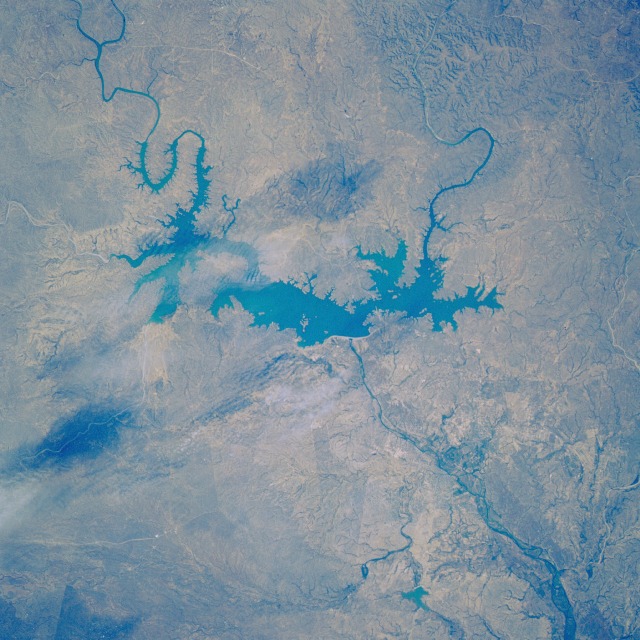
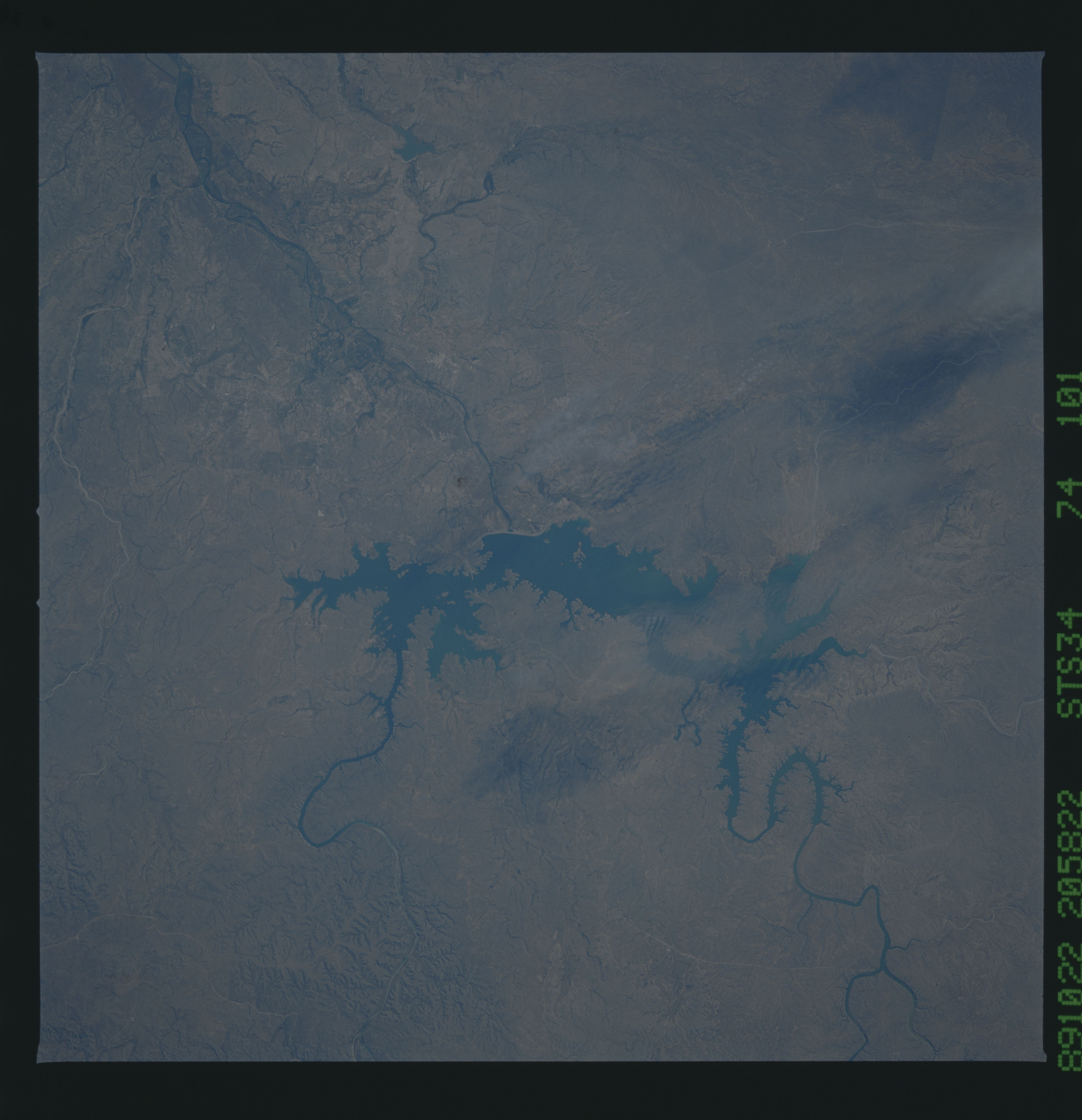
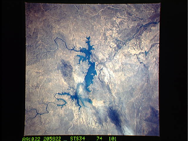
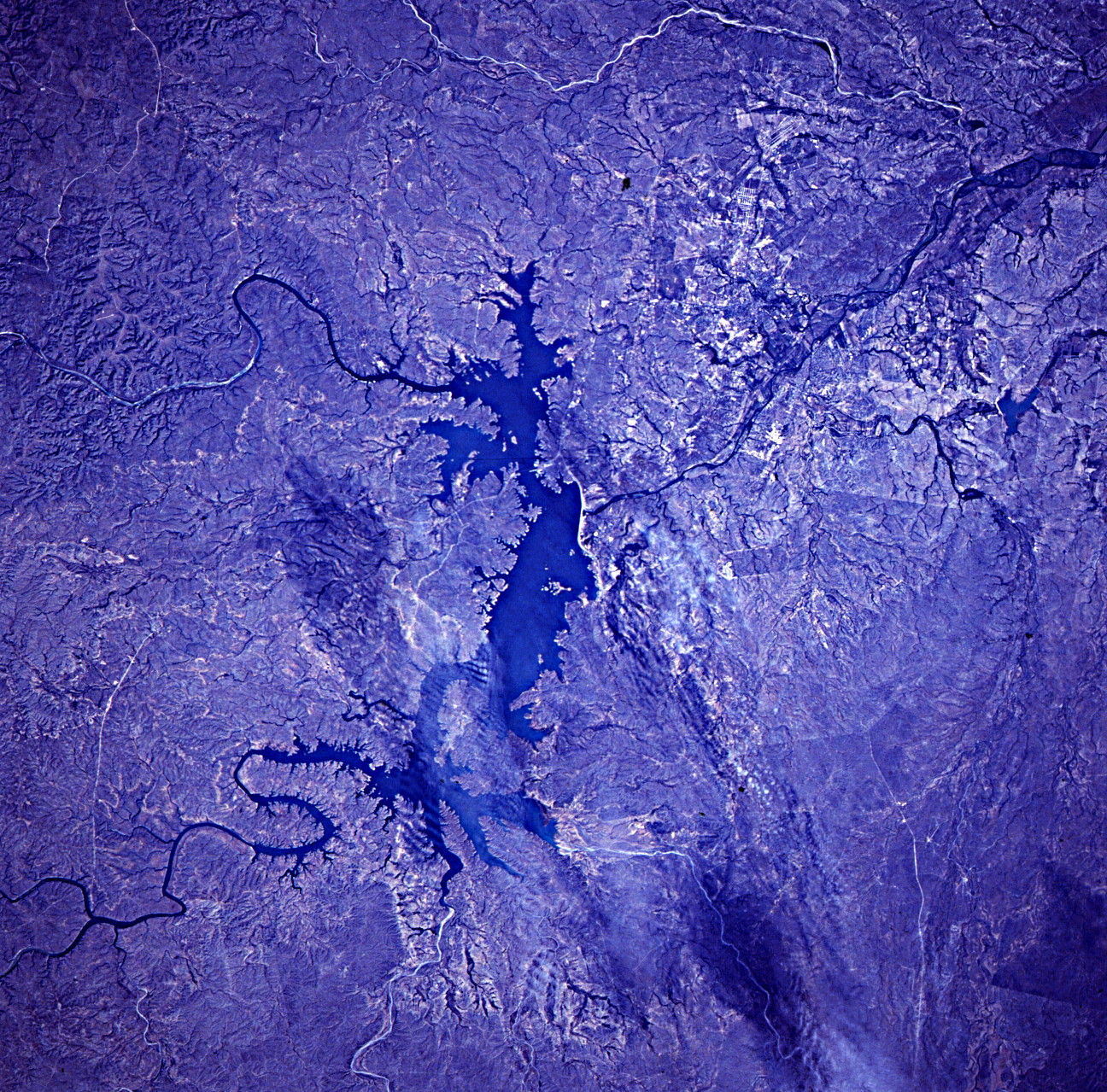
Image Caption: STS034-074-101 International Amistad Reservoir and Del Rio, Texas, U.S.A. October 1989
Located on the Rio Grande in southwest Texas at the Texas-Mexico border, the International Amistad Reservoir was completed in 1969 as an international flood control project, which can be seen in this north-looking, low-oblique photograph. In the photograph two rivers are visible as they enter the International Amistad Reservoir--the Pecos River northwest of the lake and Devils River to the north. The dam and reservoir support the surrounding region--both Mexico and Texas--with hydroelectric power for municipalities and industry and irrigation water for agricultural crops. Southeast of the dam and barely discernible in the photograph is the small city of Del Rio, Texas. A port of entry to the United States from Mexico, Del Rio is the marketing and distribution center for the region. Agriculture is the main industry in the area, with products including alfalfa, truck crops, and fruits; sheep grazing and wool production are also important. Laughlin Air Force Base, a major jet training command located east of the city, is another major employer in the region.
Located on the Rio Grande in southwest Texas at the Texas-Mexico border, the International Amistad Reservoir was completed in 1969 as an international flood control project, which can be seen in this north-looking, low-oblique photograph. In the photograph two rivers are visible as they enter the International Amistad Reservoir--the Pecos River northwest of the lake and Devils River to the north. The dam and reservoir support the surrounding region--both Mexico and Texas--with hydroelectric power for municipalities and industry and irrigation water for agricultural crops. Southeast of the dam and barely discernible in the photograph is the small city of Del Rio, Texas. A port of entry to the United States from Mexico, Del Rio is the marketing and distribution center for the region. Agriculture is the main industry in the area, with products including alfalfa, truck crops, and fruits; sheep grazing and wool production are also important. Laughlin Air Force Base, a major jet training command located east of the city, is another major employer in the region.
