STS034-74-1

| NASA Photo ID | STS034-74-1 |
| Focal Length | 250mm |
| Date taken | 1989.10.22 |
| Time taken | 16:12:35 GMT |
Resolutions offered for this image:
3898 x 3838 pixels 639 x 630 pixels 5700 x 5900 pixels 500 x 518 pixels 640 x 480 pixels
3898 x 3838 pixels 639 x 630 pixels 5700 x 5900 pixels 500 x 518 pixels 640 x 480 pixels
Cloud masks available for this image:
Spacecraft nadir point: 30.9° N, 92.2° W
Photo center point: 30.0° N, 90.0° W
Photo center point by machine learning:
Photo center point: 30.0° N, 90.0° W
Photo center point by machine learning:
Nadir to Photo Center: East
Spacecraft Altitude: 180 nautical miles (333km)
Country or Geographic Name: | USA-LOUISIANA |
Features: | NEW ORLEANS, MS. R. |
| Features Found Using Machine Learning: | |
Cloud Cover Percentage: | 0 (no clouds present) |
Sun Elevation Angle: | 41° |
Sun Azimuth: | 146° |
Camera: | Hasselblad |
Focal Length: | 250mm |
Camera Tilt: | 38 degrees |
Format: | 5017: Kodak, natural color positive, Ektachrome, X Professional, ASA 64, standard base |
Film Exposure: | Normal |
| Additional Information | |
| Width | Height | Annotated | Cropped | Purpose | Links |
|---|---|---|---|---|---|
| 3898 pixels | 3838 pixels | No | No | Earth From Space collection | Download Image |
| 639 pixels | 630 pixels | No | No | Earth From Space collection | Download Image |
| 5700 pixels | 5900 pixels | No | No | Download Image | |
| 500 pixels | 518 pixels | No | No | Download Image | |
| 640 pixels | 480 pixels | No | No | Download Image |
Download Packaged File
Download a Google Earth KML for this Image
View photo footprint information
Download a GeoTIFF for this photo
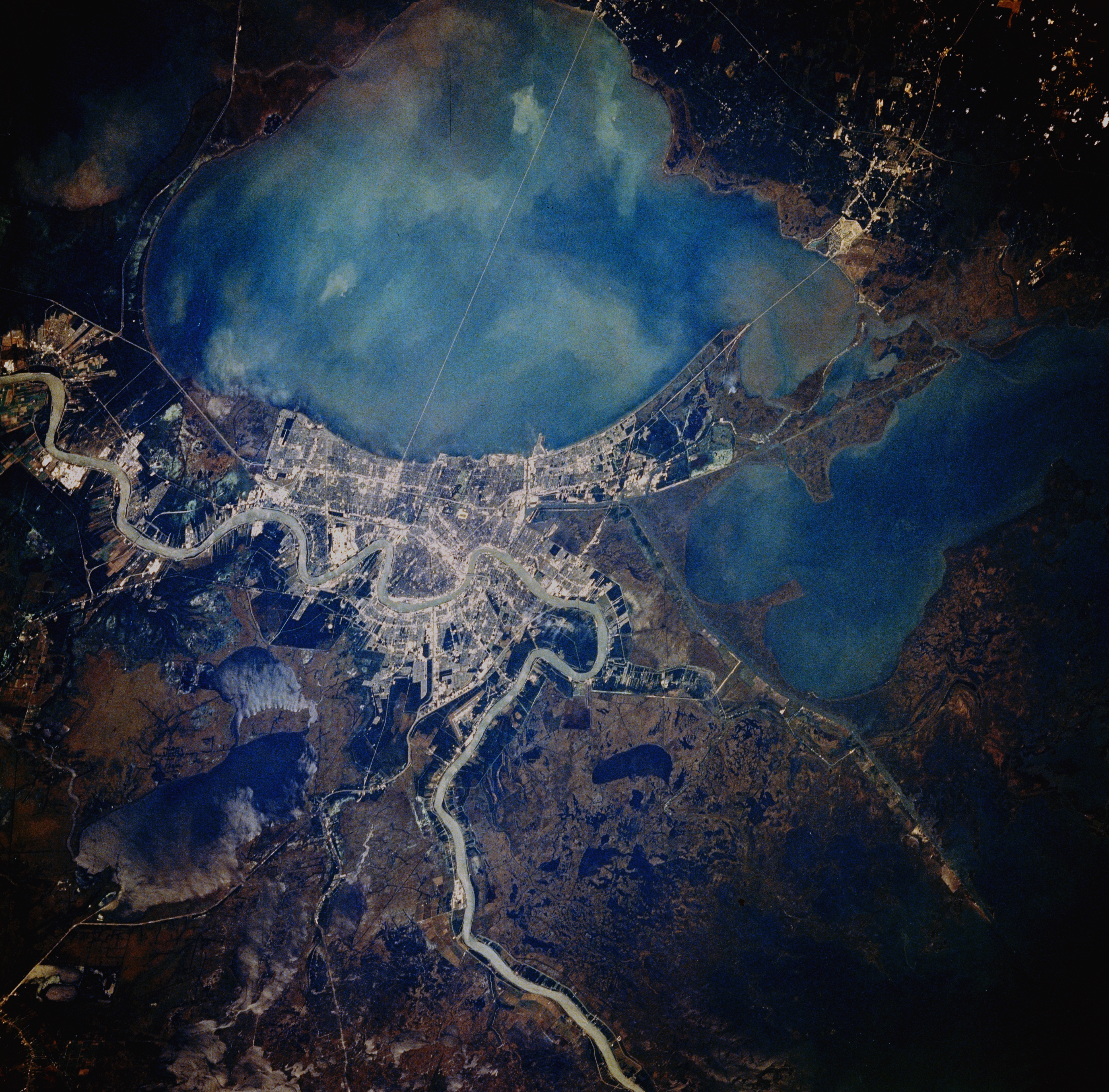
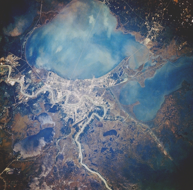
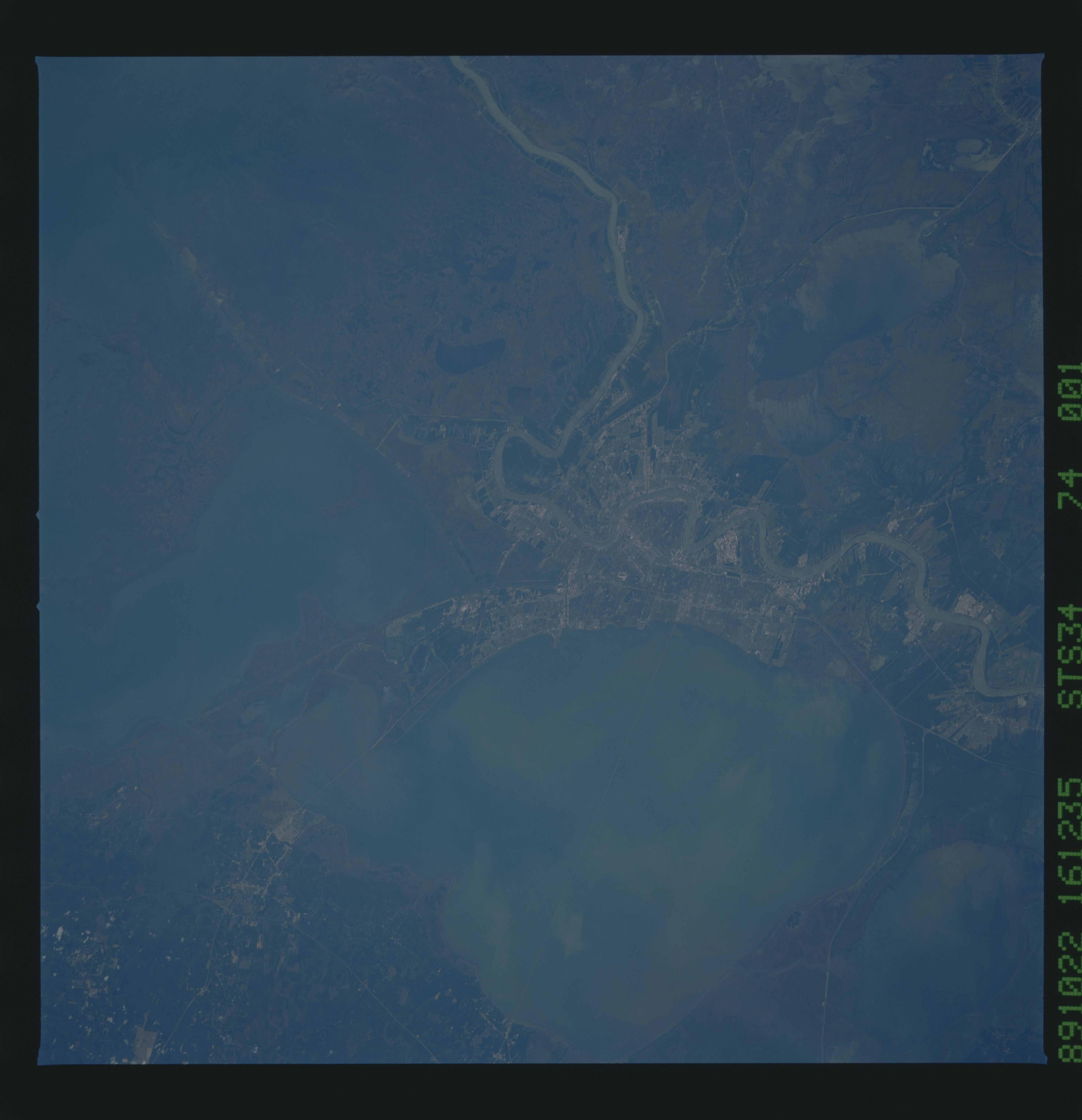
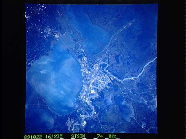
Image Caption: STS034-074-001 New Orleans, Louisiana, U.S.A. October 1989
Water dominates this northwest-looking photograph of metropolitan New Orleans and the surrounding region--to the south and southeast is a mixture of lakes and marshlands; the meandering, muddy main channel of the Mississippi River winds through New Orleans and the surrounding flat wetlands; immediately north of New Orleans lies large, shallow Lake Pontchartrain with an average depth of 12 feet (3.6 meters), east of which is Lake Borgne and west of which is Lake Maurepas that flows into Pontchartrain. Sediment plumes appear throughout Lake Pontchartrain and along the southeast shoreline of Lake Maurepas. Visible are two interstate highway systems--Interstate Highway 55 that runs between Lake Pontchartrain and Lake Maurepas and Interstate Highway 10, the major east-west route that connects New Orleans with Slidell to the northeast and Baton Rouge to the northwest. Discernible are the 24-mile (39-kilometer) causeway that connects New Orleans with communities along the north shore of Lake Pontchartrain and a shorter causeway along the eastern side of the lake.
Water dominates this northwest-looking photograph of metropolitan New Orleans and the surrounding region--to the south and southeast is a mixture of lakes and marshlands; the meandering, muddy main channel of the Mississippi River winds through New Orleans and the surrounding flat wetlands; immediately north of New Orleans lies large, shallow Lake Pontchartrain with an average depth of 12 feet (3.6 meters), east of which is Lake Borgne and west of which is Lake Maurepas that flows into Pontchartrain. Sediment plumes appear throughout Lake Pontchartrain and along the southeast shoreline of Lake Maurepas. Visible are two interstate highway systems--Interstate Highway 55 that runs between Lake Pontchartrain and Lake Maurepas and Interstate Highway 10, the major east-west route that connects New Orleans with Slidell to the northeast and Baton Rouge to the northwest. Discernible are the 24-mile (39-kilometer) causeway that connects New Orleans with communities along the north shore of Lake Pontchartrain and a shorter causeway along the eastern side of the lake.
