STS033-82-46
| NASA Photo ID | STS033-82-46 |
| Focal Length | 250mm |
| Date taken | 1989.11.25 |
| Time taken | 01:02:23 GMT |

Cloud masks available for this image:
Spacecraft nadir point: 10.7° S, 145.3° E
Photo center point: 8.5° S, 143.5° E
Photo center point by machine learning:
Photo center point: 8.5° S, 143.5° E
Photo center point by machine learning:
Nadir to Photo Center: Northwest
Spacecraft Altitude: 213 nautical miles (394km)
Country or Geographic Name: | PAPUA NEW GUINEA |
Features: | FLY RIVER DELTA |
| Features Found Using Machine Learning: | |
Cloud Cover Percentage: | 50 (26-50)% |
Sun Elevation Angle: | 72° |
Sun Azimuth: | 125° |
Camera: | Hasselblad |
Focal Length: | 250mm |
Camera Tilt: | 39 degrees |
Format: | 5017: Kodak, natural color positive, Ektachrome, X Professional, ASA 64, standard base |
Film Exposure: | Normal |
| Additional Information | |
| Width | Height | Annotated | Cropped | Purpose | Links |
|---|---|---|---|---|---|
| 5700 pixels | 5900 pixels | No | No | Download Image | |
| 500 pixels | 518 pixels | No | No | Download Image | |
| 640 pixels | 480 pixels | No | No | Download Image |
Download Packaged File
Download a Google Earth KML for this Image
View photo footprint information
Download a GeoTIFF for this photo
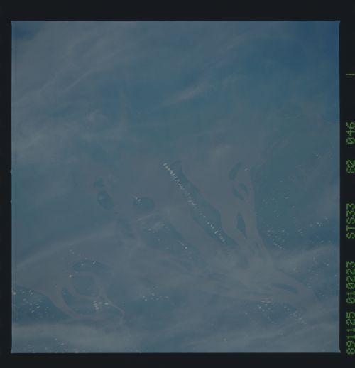
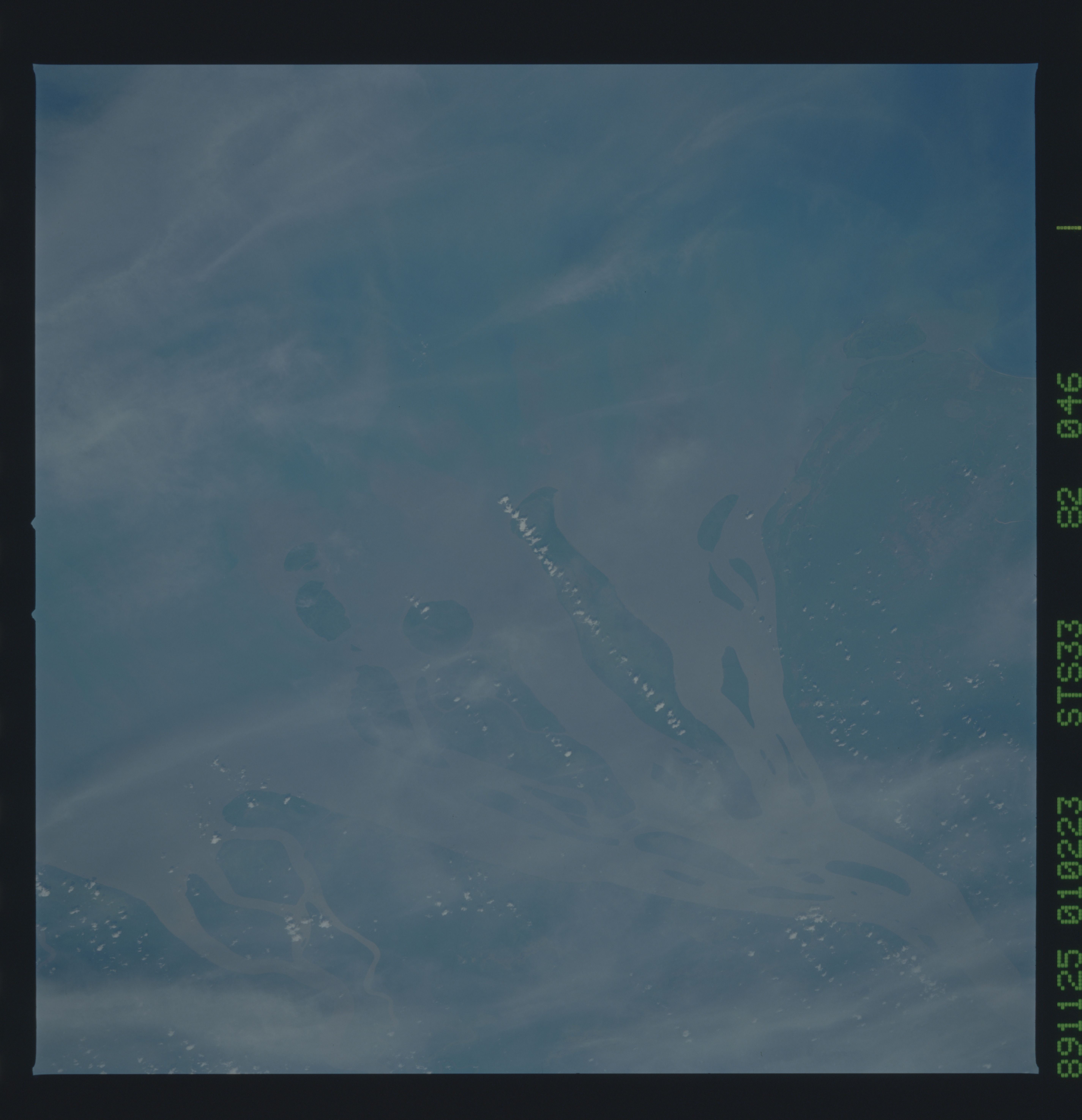
Image Caption:
The Fly River Basin/Delta T193
One of New Guinea's largest rivers is The Fly River which empties
into the Gulf of Papua. Because the drainage basin is so large,
and follows the border of two countries, siltation which results
from changing land use is particularly heavy. Coastal mangrove
and grass swamps and offshore reefs may be especially effected.
The mouth of the river is over 80 km wide; the entire delta was
photographed with a 100 mm lens (top). Below is a 250 mm view of
the mouth of the Fly River. (S33-89-021, 022 - top; S33-82-046 -
bottom)
