STS033-78-58
| NASA Photo ID | STS033-78-58 |
| Focal Length | 40mm |
| Date taken | 1989.11.24 |
| Time taken | 08:02:21 GMT |
Cloud masks available for this image:
Spacecraft nadir point: 17.9° S, 30.0° E
Photo center point: 17.0° S, 28.0° E
Photo center point by machine learning:
Photo center point: 17.0° S, 28.0° E
Photo center point by machine learning:
Nadir to Photo Center: West
Spacecraft Altitude: 225 nautical miles (417km)
Country or Geographic Name: | ZIMBABWE |
Features: | LAKE KARIBA |
| Features Found Using Machine Learning: | |
Cloud Cover Percentage: | 20 (11-25)% |
Sun Elevation Angle: | 65° |
Sun Azimuth: | 101° |
Camera: | Hasselblad |
Focal Length: | 40mm |
Camera Tilt: | 30 degrees |
Format: | 5017: Kodak, natural color positive, Ektachrome, X Professional, ASA 64, standard base |
Film Exposure: | Normal |
| Additional Information | |
| Width | Height | Annotated | Cropped | Purpose | Links |
|---|---|---|---|---|---|
| 5700 pixels | 5900 pixels | No | No | Download Image | |
| 500 pixels | 518 pixels | No | No | Download Image | |
| 640 pixels | 480 pixels | No | No | Download Image |
Download Packaged File
Download a Google Earth KML for this Image
View photo footprint information
Download a GeoTIFF for this photo
Image Caption:
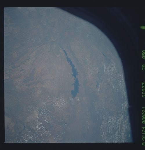
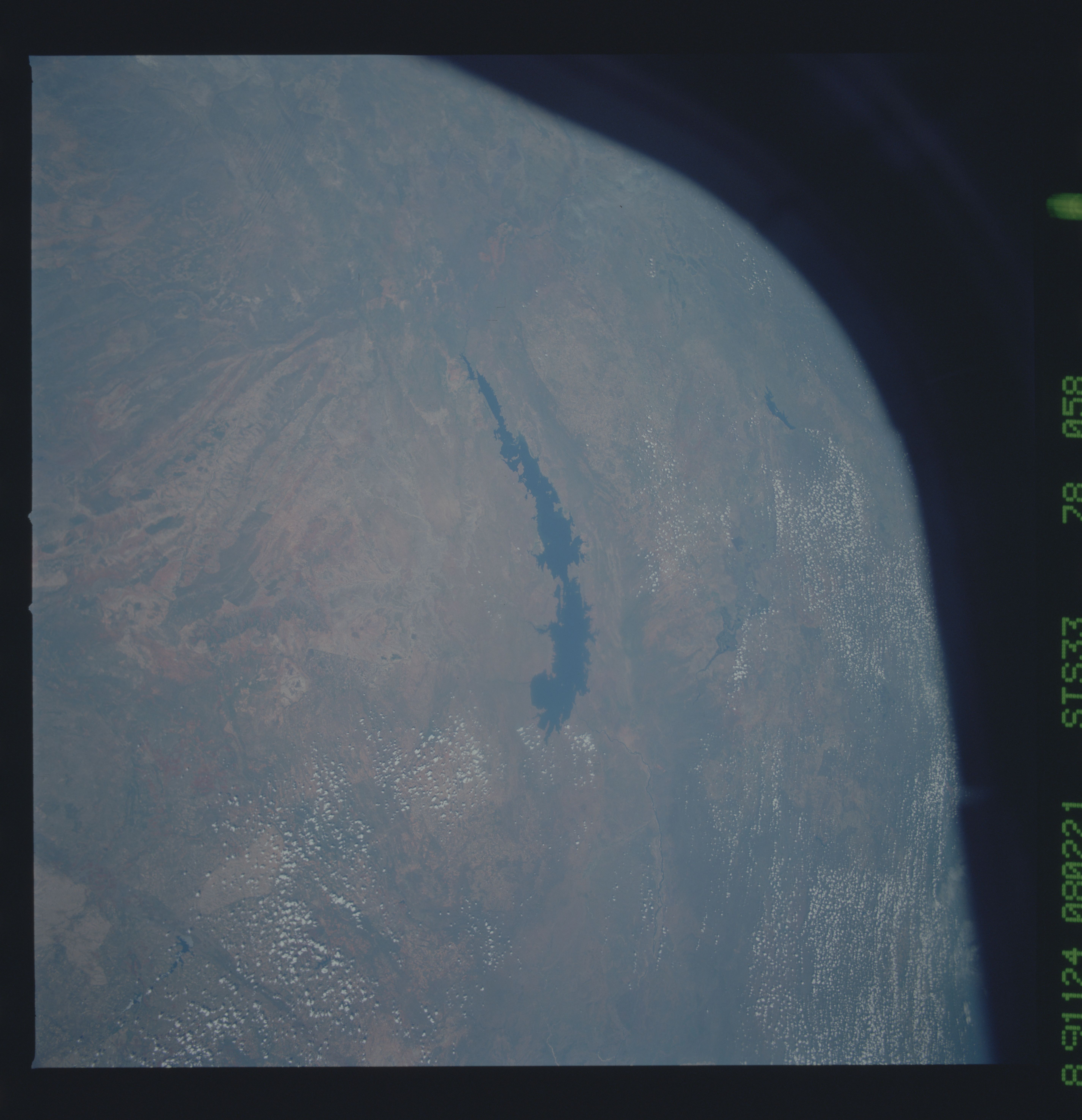
Kariba Lake
Although the geometrical relationships are distorted at the mar-
gins of this scene, this pair of 40 mm photographs include all of
western Zimbabwe and southern Zambia. Kariba Lake (1) was flood-
ed in the late 1950's by damming the Zambezi River, and resulted
in the rescue and relocation of thousands of game animals to the
new shoreline. The drier savannah of west Zimbabwe and Zambia
(2) is easily distinguished from the wetter plateau of central
Zimbabwe (3). The various land uses are also identifiable.
(S33-78-057, 058)
