STS033-71-77
| NASA Photo ID | STS033-71-77 |
| Focal Length | 250mm |
| Date taken | 1989.11.24 |
| Time taken | 06:22:58 GMT |

Cloud masks available for this image:
Spacecraft nadir point: 26.2° S, 27.3° E
Photo center point: 26.5° S, 31.5° E
Photo center point by machine learning:
Photo center point: 26.5° S, 31.5° E
Photo center point by machine learning:
Nadir to Photo Center: East
Spacecraft Altitude: 263 nautical miles (487km)
Country or Geographic Name: | SWAZILAND |
Features: | USUTU RIVER |
| Features Found Using Machine Learning: | |
Cloud Cover Percentage: | 5 (1-10)% |
Sun Elevation Angle: | 41° |
Sun Azimuth: | 95° |
Camera: | Hasselblad |
Focal Length: | 250mm |
Camera Tilt: | 44 degrees |
Format: | 5017: Kodak, natural color positive, Ektachrome, X Professional, ASA 64, standard base |
Film Exposure: | Normal |
| Additional Information | |
| Width | Height | Annotated | Cropped | Purpose | Links |
|---|---|---|---|---|---|
| 5700 pixels | 5900 pixels | No | No | Download Image | |
| 500 pixels | 518 pixels | No | No | Download Image | |
| 640 pixels | 480 pixels | No | No | Download Image |
Download Packaged File
Download a Google Earth KML for this Image
View photo footprint information
Download a GeoTIFF for this photo
Image Caption:
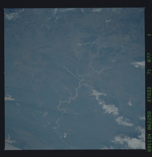
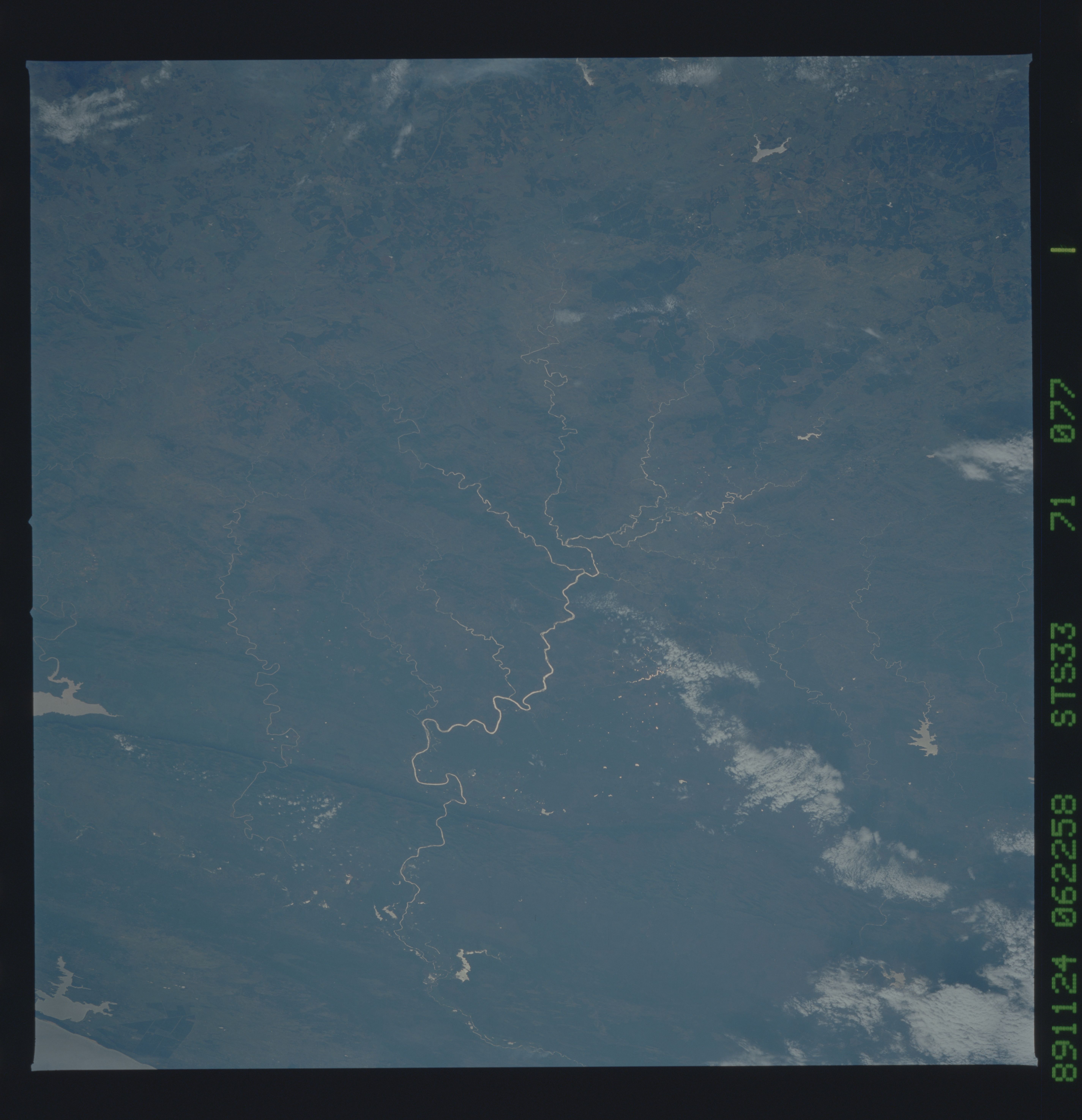
View eastward across the nation of Swaziland. An excellent use of
sunglint provides regional insight into the entire drainage basin
of the Usutu River. The streams begin in still-forested upland in
the foreground, along the border with The Union of South Africa.
Above the river crossing of the prominent Lebombo Mountains, the
Usutu traverses a wide bend, known as Big Bend, where Swaziland's
major sugar cane plantations operate. Sinuousities of the incised
drainage, though partly controlled by geological structure, in-
crease downstream as discharge increases, just as meanders of al-
luvial rivers do. A similar relationship has been observed in
many incised meandering streams wordwide (Dietrich and Amsbury,
1986). S33-71-077.
