STS032-88-84
| NASA Photo ID | STS032-88-84 |
| Focal Length | 250mm |
| Date taken | 1990.01.19 |
| Time taken | 15:49:45 GMT |
Cloud masks available for this image:
Spacecraft nadir point: 20.2° S, 66.9° W
Photo center point: 22.5° S, 60.5° W
Photo center point by machine learning:
Photo center point: 22.5° S, 60.5° W
Photo center point by machine learning:
Nadir to Photo Center: East
Spacecraft Altitude: 178 nautical miles (330km)
Country or Geographic Name: | PARAGUAY |
Features: | AGRICULTURE |
| Features Found Using Machine Learning: | |
Cloud Cover Percentage: | 5 (1-10)% |
Sun Elevation Angle: | 78° |
Sun Azimuth: | 92° |
Camera: | Hasselblad |
Focal Length: | 250mm |
Camera Tilt: | Low Oblique |
Format: | 5017: Kodak, natural color positive, Ektachrome, X Professional, ASA 64, standard base |
Film Exposure: | Normal |
| Additional Information | |
| Width | Height | Annotated | Cropped | Purpose | Links |
|---|---|---|---|---|---|
| 5700 pixels | 5900 pixels | No | No | Download Image | |
| 500 pixels | 518 pixels | No | No | Download Image | |
| 640 pixels | 480 pixels | No | No | Download Image |
Download Packaged File
Download a Google Earth KML for this Image
View photo footprint information
Download a GeoTIFF for this photo
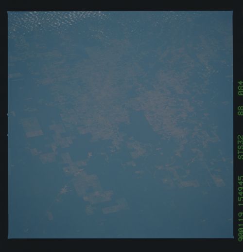
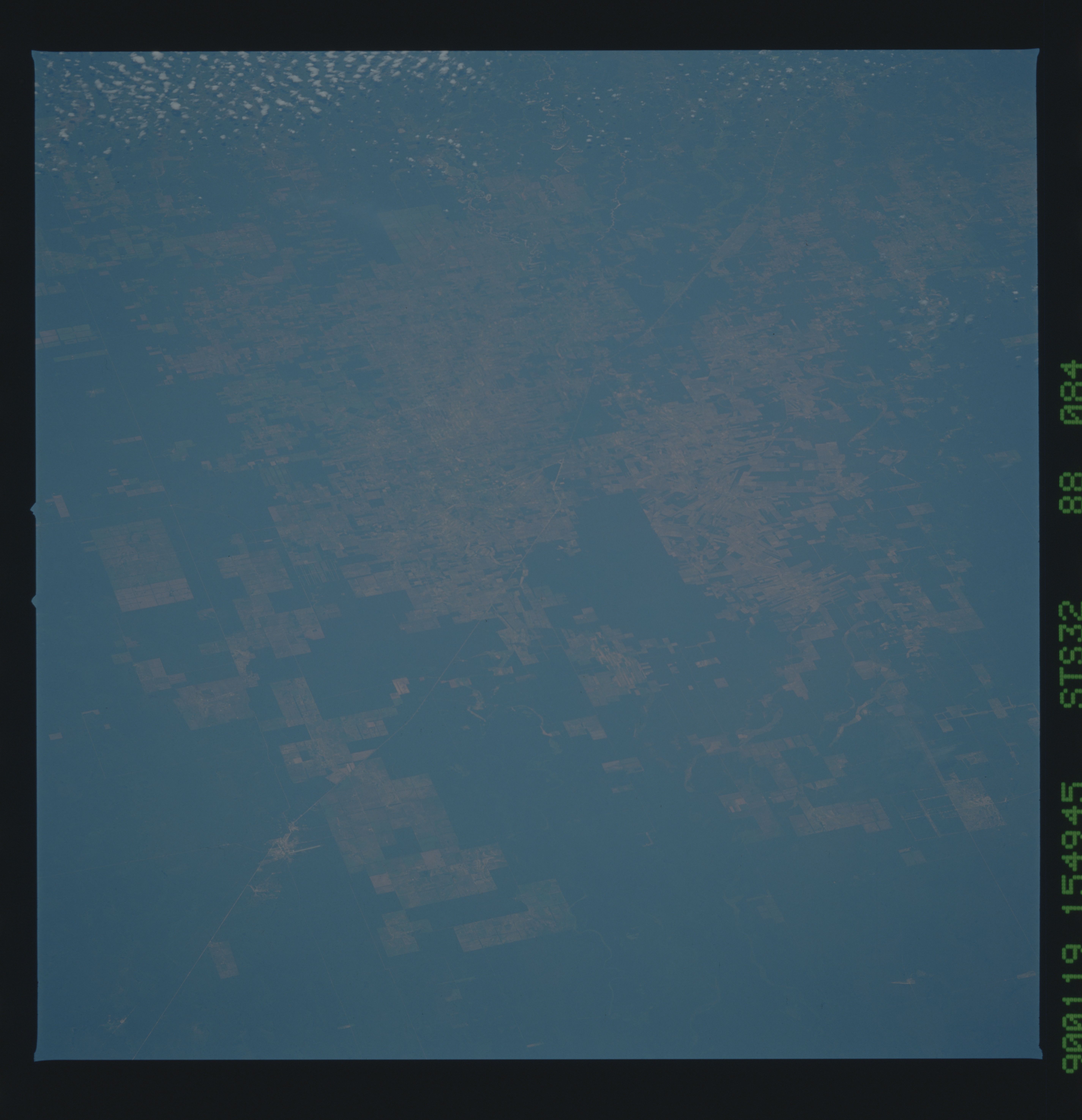
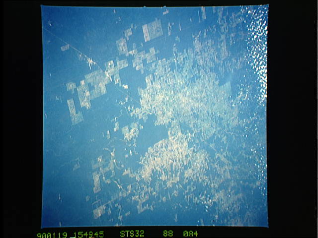
Image Caption: This view of extensive agriculture on the Chaco Plain, Paraguay, (22.5S, 60.5W) depicts the fertility of the soils between the Andes Mountains and the Paraguay - Parana Rivers in the northwestern Paraguay. The Gran Chaco Plain is flat landscape built up by sediments. Frontier settlements like Marsical Estigarribia, seen in the image, are dominated by agriculture along the stream courses that abound in the area.
