STS031-78-AZ
| NASA Photo ID | STS031-78-AZ |
| Focal Length | 100mm |
| Date taken | 1990.04.__ |
| Time taken | GMT |
Cloud masks available for this image:
Spacecraft nadir point:
Photo center point: 38.0° N, 120.5° W
Photo center point by machine learning:
Photo center point: 38.0° N, 120.5° W
Photo center point by machine learning:
Nadir to Photo Center:
Spacecraft Altitude: nautical miles (0km)
Country or Geographic Name: | USA-CALIFORNIA |
Features: | SAN JOAQUIN VALLEY, V. DK. |
| Features Found Using Machine Learning: | |
Cloud Cover Percentage: | 40 (26-50)% |
Sun Elevation Angle: | ° |
Sun Azimuth: | ° |
Camera: | Hasselblad |
Focal Length: | 100mm |
Camera Tilt: | Low Oblique |
Format: | 5017: Kodak, natural color positive, Ektachrome, X Professional, ASA 64, standard base |
Film Exposure: | Under Exposed |
| Additional Information | |
| Width | Height | Annotated | Cropped | Purpose | Links |
|---|---|---|---|---|---|
| 5700 pixels | 5900 pixels | No | No | Download Image | |
| 500 pixels | 518 pixels | No | No | Download Image | |
| 640 pixels | 480 pixels | No | No | Download Image |
Download Packaged File
Download a Google Earth KML for this Image
View photo footprint information
Download a GeoTIFF for this photo
Image Caption:
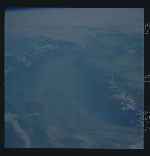
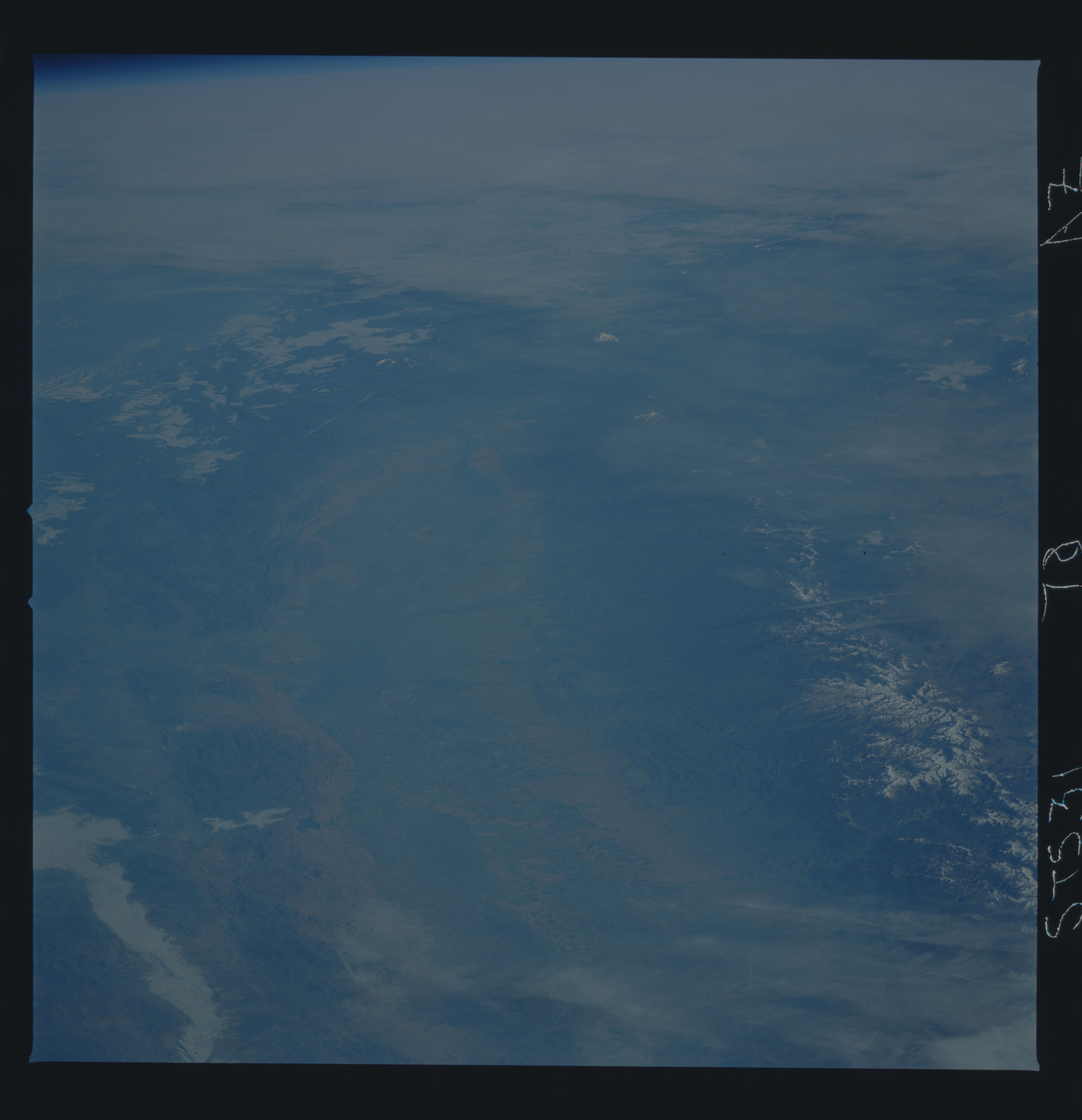
Northern California (S31-78-OAZ). The high altitude of the STS-
31 mission allowed the astronauts to photograph Mt. Shasta in
northern California (north of center). From west to east (left
to right) are the folded rocks of the California coastal Ranges,
the Central Valley agricultural region, and the Sierra Nevada
Mountains. Deeply incised Yosemite Valley is in the lower right
of the photograph. This scene was taken with the Hasselblad cam-
era equipped with the 250 mm lens.
