STS031-77-78

| NASA Photo ID | STS031-77-78 |
| Focal Length | 40mm |
| Date taken | 1990.04.__ |
| Time taken | GMT |
Resolutions offered for this image:
5700 x 5900 pixels 500 x 518 pixels 640 x 480 pixels 595 x 453 pixels
5700 x 5900 pixels 500 x 518 pixels 640 x 480 pixels 595 x 453 pixels

Cloud masks available for this image:
Spacecraft nadir point:
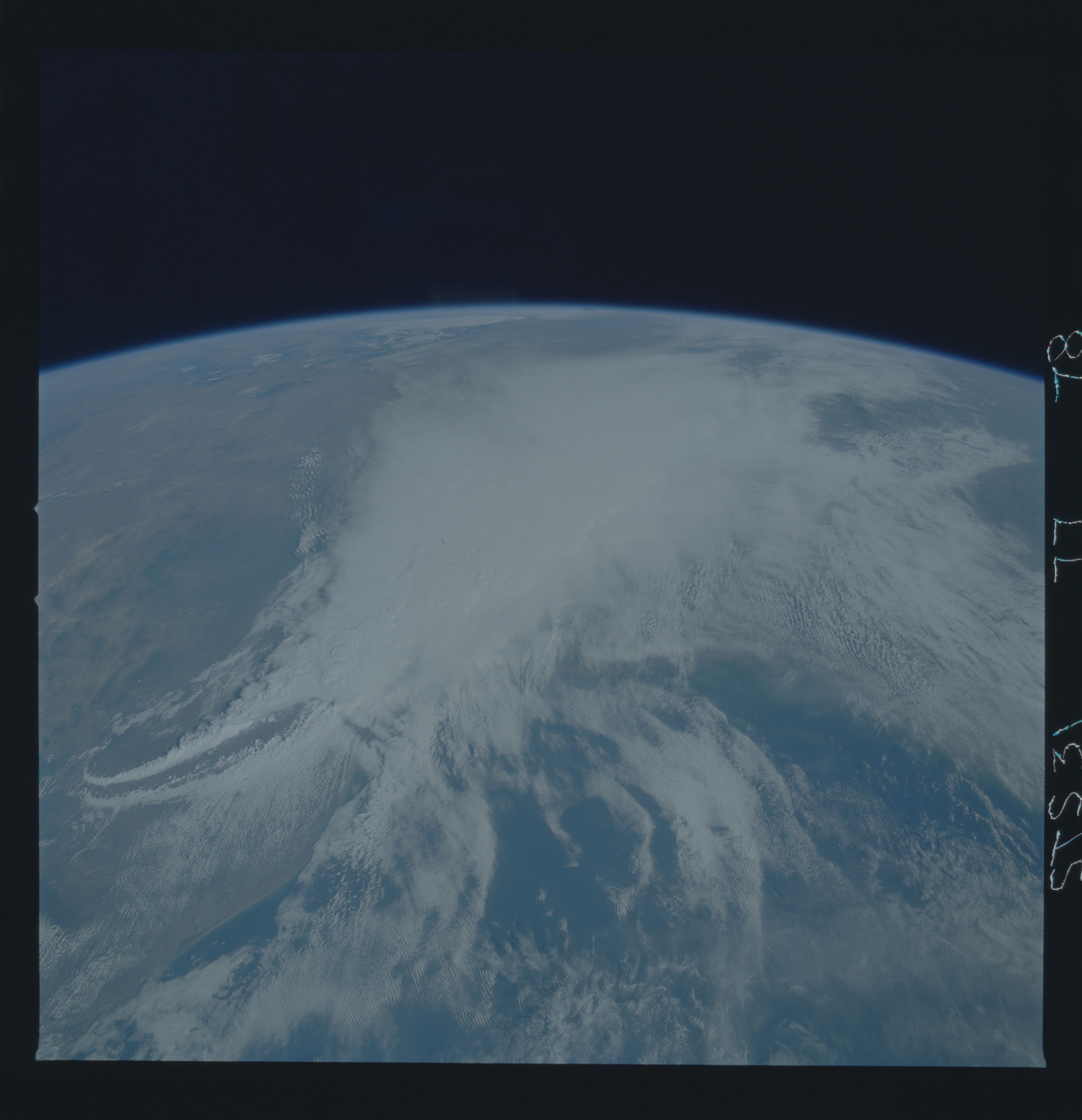
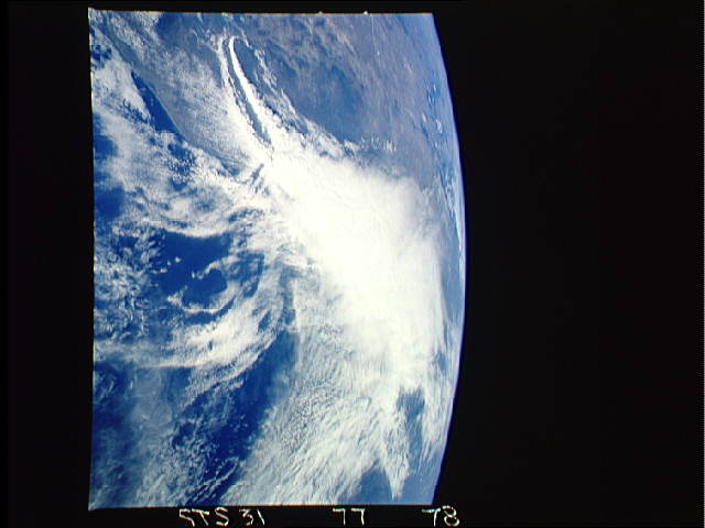
Photo center point: 29.0° N, 95.0° W
Photo center point by machine learning:
Photo center point: 29.0° N, 95.0° W
Photo center point by machine learning:
Nadir to Photo Center:
Spacecraft Altitude: nautical miles (0km)
Country or Geographic Name: | USA-TEXAS |
Features: | PANORAMA-STORM STRUCTURE |
| Features Found Using Machine Learning: | |
Cloud Cover Percentage: | 75 (51-75)% |
Sun Elevation Angle: | ° |
Sun Azimuth: | ° |
Camera: | Hasselblad |
Focal Length: | 40mm |
Camera Tilt: | High Oblique |
Format: | 5017: Kodak, natural color positive, Ektachrome, X Professional, ASA 64, standard base |
Film Exposure: | Normal |
| Additional Information | |
| Width | Height | Annotated | Cropped | Purpose | Links |
|---|---|---|---|---|---|
| 5700 pixels | 5900 pixels | No | No | Download Image | |
| 500 pixels | 518 pixels | No | No | Download Image | |
| 640 pixels | 480 pixels | No | No | Download Image | |
| 595 pixels | 453 pixels | Yes | No | Download Image |
Download Packaged File
Download a Google Earth KML for this Image
View photo footprint information
Download a GeoTIFF for this photo
Image Caption: This thunderstorm along the Texas Gulf Coast (29.0N, 95.0W), USA is seen as the trailing edge of a large cloud mass formed along the leading edge of a spring frontal system stretching northwest to southeast across the Texas Gulf Coast. This system brought extensive severe weather and flooding to parts of Texas and surrounding states. Muddy water discharging from coastal streams can be seen in the shallow Gulf of Mexico as far south as Lavaca Bay.
