STS031-77-77
| NASA Photo ID | STS031-77-77 |
| Focal Length | 40mm |
| Date taken | 1990.04.__ |
| Time taken | GMT |

Cloud masks available for this image:
Spacecraft nadir point:
Photo center point: 26.0° N, 97.0° W
Photo center point by machine learning:
Photo center point: 26.0° N, 97.0° W
Photo center point by machine learning:
Nadir to Photo Center:
Spacecraft Altitude: nautical miles (0km)
Country or Geographic Name: | USA-TEXAS |
Features: | PANORAMA-STORM STRUCTURE |
| Features Found Using Machine Learning: | |
Cloud Cover Percentage: | 60 (51-75)% |
Sun Elevation Angle: | ° |
Sun Azimuth: | ° |
Camera: | Hasselblad |
Focal Length: | 40mm |
Camera Tilt: | High Oblique |
Format: | 5017: Kodak, natural color positive, Ektachrome, X Professional, ASA 64, standard base |
Film Exposure: | Normal |
| Additional Information | |
| Width | Height | Annotated | Cropped | Purpose | Links |
|---|---|---|---|---|---|
| 5700 pixels | 5900 pixels | No | No | Download Image | |
| 500 pixels | 518 pixels | No | No | Download Image | |
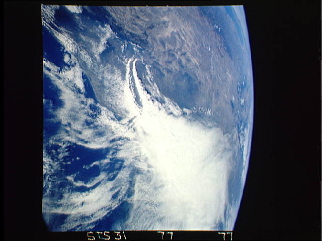
| 640 pixels | 480 pixels | No | No | Download Image |
Download Packaged File
Download a Google Earth KML for this Image
View photo footprint information
Download a GeoTIFF for this photo
Image Caption:
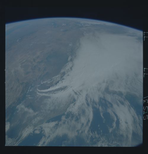
Storm over Texas (S31-77-077). This view stretches from the Gulf
of California (near the horizon on the upper left) to the Texas
coast. The entire Texas coast is obscured by a large convective
complex which generated up to 11 inches of rain over north-
central Texas. This figure and the next (Figure 14) document on
successive days the movement and extent the storm. Parallel
flanking lines of thunderstorms are visible on the southern point
of the storm system. The thin linear clouds in advance of the
line indicate the strong low-level southeasterly wind flow which
was sustaining the thunderstorms. Also, the wave-like clouds
near the upper-center of the image indicate strong mid-level tur-
bulence behind the thunderstorms.
