STS031-76-74
| NASA Photo ID | STS031-76-74 |
| Focal Length | 40mm |
| Date taken | 1990.04.26 |
| Time taken | 09:56:57 GMT |
Cloud masks available for this image:
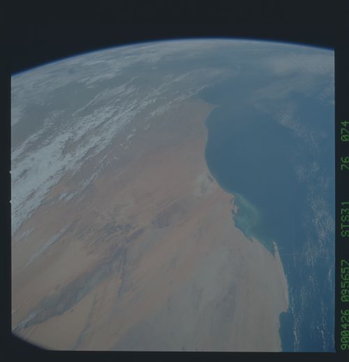
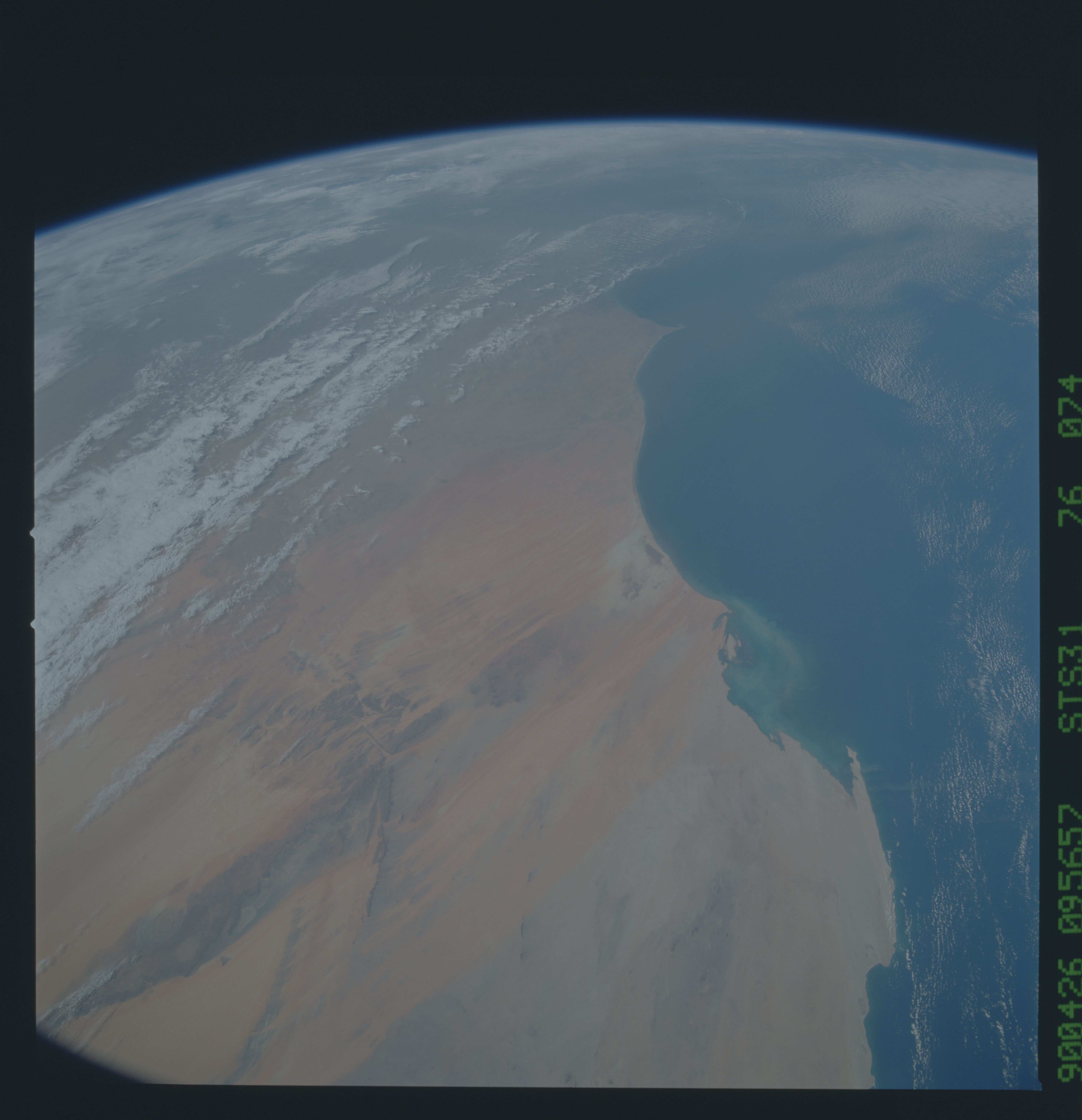
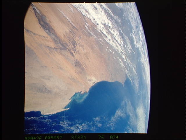
Spacecraft nadir point: 22.6° N, 14.4° W
Photo center point: 19.0° N, 15.0° W
Photo center point by machine learning:
Photo center point: 19.0° N, 15.0° W
Photo center point by machine learning:
Nadir to Photo Center: South
Spacecraft Altitude: 334 nautical miles (619km)
Country or Geographic Name: | MAURITANIA |
Features: | COAST, RICHAT STR/PLATEAUS |
| Features Found Using Machine Learning: | |
Cloud Cover Percentage: | 30 (26-50)% |
Sun Elevation Angle: | 46° |
Sun Azimuth: | 94° |
Camera: | Hasselblad |
Focal Length: | 40mm |
Camera Tilt: | High Oblique |
Format: | 5017: Kodak, natural color positive, Ektachrome, X Professional, ASA 64, standard base |
Film Exposure: | Normal |
| Additional Information | |
| Width | Height | Annotated | Cropped | Purpose | Links |
|---|---|---|---|---|---|
| 5700 pixels | 5900 pixels | No | No | Download Image | |
| 500 pixels | 518 pixels | No | No | Download Image | |
| 640 pixels | 480 pixels | No | No | Download Image |
Download Packaged File
Download a Google Earth KML for this Image
View photo footprint information
Download a GeoTIFF for this photo
Image Caption: The hyperarid western extremity of the Sahara Desert of Mauritania (19.0N, 15.0W). The foreground is dominated by a series of dramatic, elongated linear dunes and the richat depression. Desert winds regularly blow desert sand towards the coast parallel with the dunes and much of it is actually blown out to sea. Dust storms often move hundreds of miles out into the Atlantic Ocean, sometimes even reaching South America and the Caribbean.
