STS031-152-DL
| NASA Photo ID | STS031-152-DL |
| Focal Length | 90mm |
| Date taken | 1990.04.__ |
| Time taken | GMT |

Cloud masks available for this image:
Spacecraft nadir point:
Photo center point: 23.0° S, 118.0° E
Photo center point by machine learning:
Photo center point: 23.0° S, 118.0° E
Photo center point by machine learning:
Nadir to Photo Center:
Spacecraft Altitude: nautical miles (0km)
Country or Geographic Name: | AUSTRALIA-WA |
Features: | HAMERSLEY RANGE |
| Features Found Using Machine Learning: | |
Cloud Cover Percentage: | 0 (no clouds present) |
Sun Elevation Angle: | ° |
Sun Azimuth: | ° |
Camera: | Linhof |
Focal Length: | 90mm |
Camera Tilt: | Low Oblique |
Format: | QX868: Kodak, natural color positive, Ektachrome QX868(5017 emulsion), ASA 64, thin base |
Film Exposure: | Normal |
| Additional Information | |
| Width | Height | Annotated | Cropped | Purpose | Links |
|---|---|---|---|---|---|
| 5088 pixels | 4000 pixels | No | No | Earth From Space collection | Download Image |
| 640 pixels | 503 pixels | No | No | Earth From Space collection | Download Image |
| 640 pixels | 480 pixels | No | No | ISD 1 | Download Image |
Download Packaged File
Download a Google Earth KML for this Image
View photo footprint information
Download a GeoTIFF for this photo
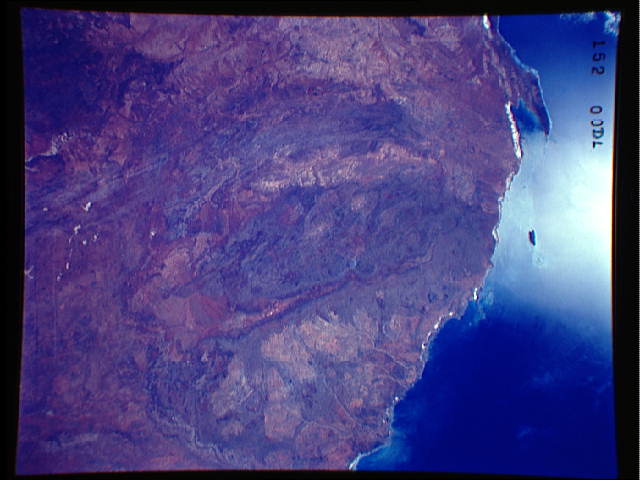
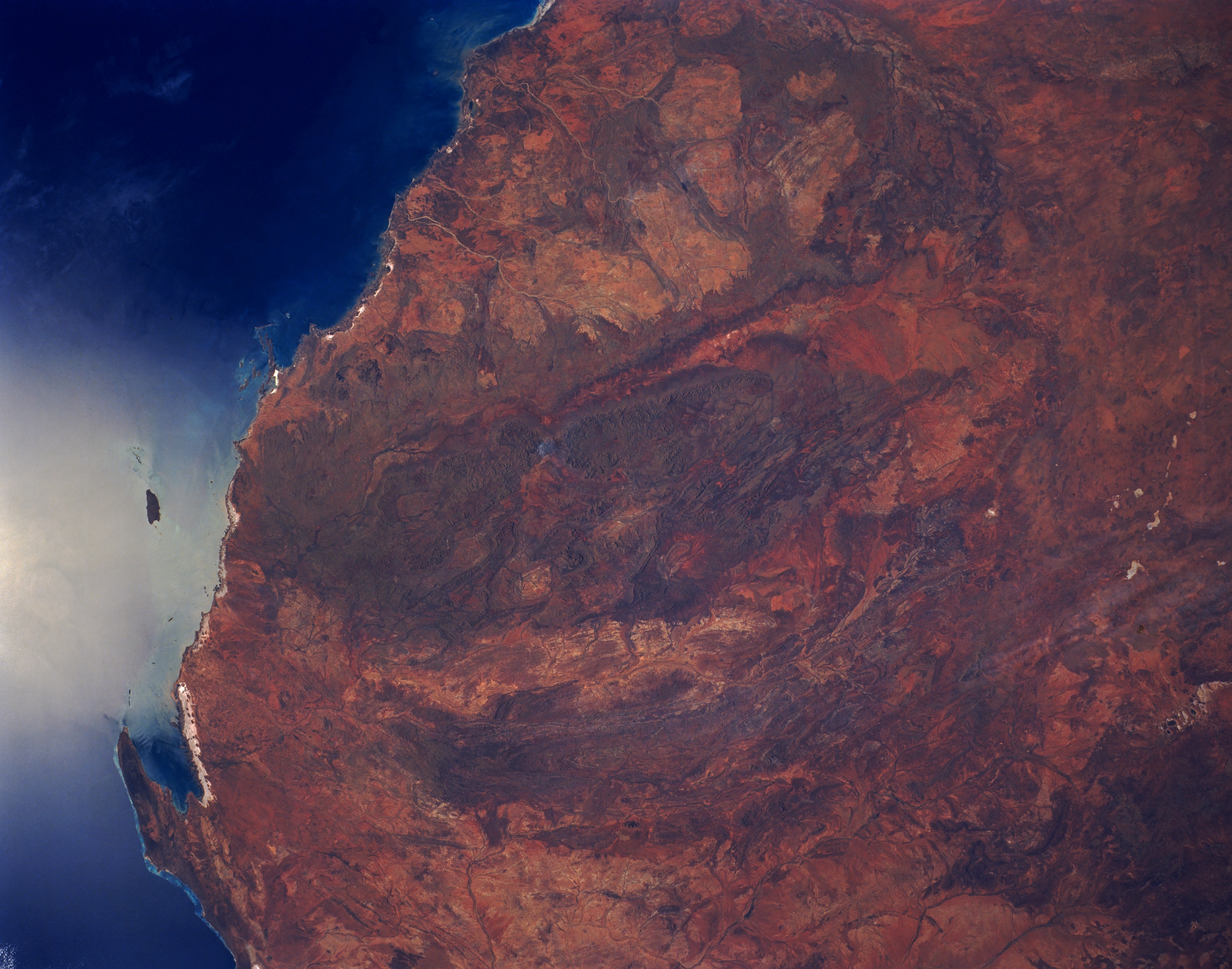
Image Caption: STS031-152-0DL Hamersley Range, Western Australia, Australia April 1990
The entire Hamersley Range is visible in this synoptic view of northwestern Australia. This folded range of mountains (seen as a darker green-brown area in the center of the image) trends generally east-west and is bounded north and south by two river valleys (somewhat linear, lighter colored areas). The Fortescue River is the relatively narrow valley north of the mountains and the broader valley south of the mountains is the Ashburton River. The Hamersley Range has peaks that reach 4000 feet (1200 meters) above sea level. A series of curving, lower mountains, that parallel the Hamersley can also be seen south of the Ashburton River. The Hamersley area is a major source of iron formations and the area north of the Hamersley contain some of the oldest rocks in the world, dating back 3.5 billion years. The lighter color areas north of the Hamersley, known as the Pilbara District, contains huge granite plutons. The small bay (lower left) in the corner of the image is Exmouth Gulf.
The oval shaped basin of the sedimentary rocks of the Hammersley Range, northern Western Australia (23.0S, 119.0E) dominates the center of this near nadir view. The Fortescue River is the remarkably straight, fault controlled feature bordering the Hammersley on the north. Sand dunes are the main surface features in the northeast and southwest. Many dry lakebeds can be seen to the east as light grey colored patches along the watercourses.
