STS030-76-42
| NASA Photo ID | STS030-76-42 |
| Focal Length | 250mm |
| Date taken | 1989.05.05 |
| Time taken | 19:02:57 GMT |
Cloud masks available for this image:
Spacecraft nadir point: 28.8° N, 79.7° W
Photo center point: 28.5° N, 80.5° W
Photo center point by machine learning:
Photo center point: 28.5° N, 80.5° W
Photo center point by machine learning:
Nadir to Photo Center: West
Spacecraft Altitude: 172 nautical miles (319km)
Country or Geographic Name: | USA-FLORIDA |
Features: | CAPE CANAVERAL, KSFC |
| Features Found Using Machine Learning: | |
Cloud Cover Percentage: | 0 (no clouds present) |
Sun Elevation Angle: | 62° |
Sun Azimuth: | 249° |
Camera: | Hasselblad |
Focal Length: | 250mm |
Camera Tilt: | 17 degrees |
Format: | 5017: Kodak, natural color positive, Ektachrome, X Professional, ASA 64, standard base |
Film Exposure: | Normal |
| Additional Information | |
| Width | Height | Annotated | Cropped | Purpose | Links |
|---|---|---|---|---|---|
| 5700 pixels | 5900 pixels | No | No | Download Image | |
| 500 pixels | 518 pixels | No | No | Download Image | |
| 640 pixels | 480 pixels | No | No | Download Image |
Download Packaged File
Download a Google Earth KML for this Image
View photo footprint information
Download a GeoTIFF for this photo
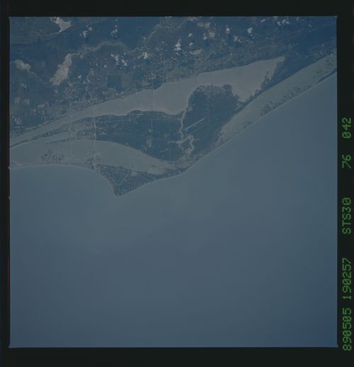
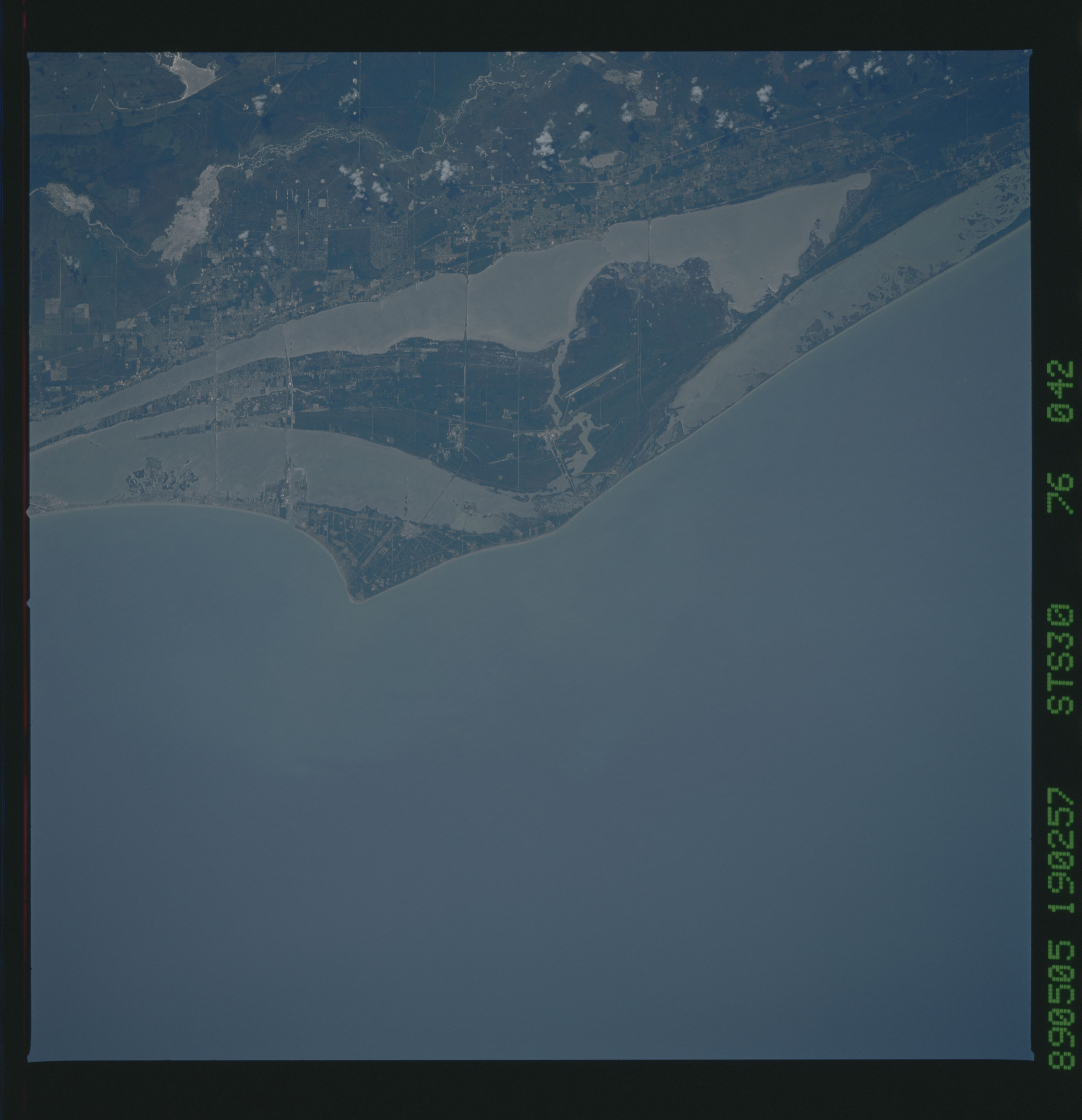
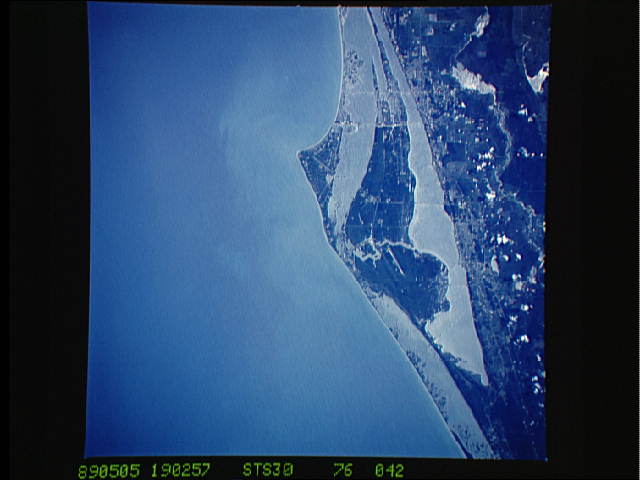
Image Caption: This single view of Cape Canaveral and the Kennedy Space Center, Florida (28.5N, 80.5W), shows the layout of the entire Kennedy Space Center in minute detail. All of the early Mercury and Gemini series launch facilities can be seen at the hook of the Cape. At the north end of the space center where the newer Apollo, Skylab and Space Shuttle series facilities are located, the vehicle assembly building, two launch pads and landing strip are easily seen.
