STS030-76-40
| NASA Photo ID | STS030-76-40 |
| Focal Length | 250mm |
| Date taken | 1989.05.05 |
| Time taken | 18:59:43 GMT |
Cloud masks available for this image:
Spacecraft nadir point: 28.7° N, 93.5° W
Photo center point:
Photo center point by machine learning:
Photo center point:
Photo center point by machine learning:
Nadir to Photo Center:
Spacecraft Altitude: 174 nautical miles (322km)
Country or Geographic Name: | GULF OF MEXICO |
Features: | CONVERGENCE, SULOYS |
| Features Found Using Machine Learning: | |
Cloud Cover Percentage: | 15 (11-25)% |
Sun Elevation Angle: | 73° |
Sun Azimuth: | 225° |
Camera: | Hasselblad |
Focal Length: | 250mm |
Camera Tilt: | Low Oblique |
Format: | 5017: Kodak, natural color positive, Ektachrome, X Professional, ASA 64, standard base |
Film Exposure: | Normal |
| Additional Information | |
| Width | Height | Annotated | Cropped | Purpose | Links |
|---|---|---|---|---|---|
| 5700 pixels | 5900 pixels | No | No | Download Image | |
| 500 pixels | 518 pixels | No | No | Download Image | |
| 640 pixels | 480 pixels | No | No | Download Image |
Download Packaged File
Download a Google Earth KML for this Image
View photo footprint information
Download a GeoTIFF for this photo
Image Caption:
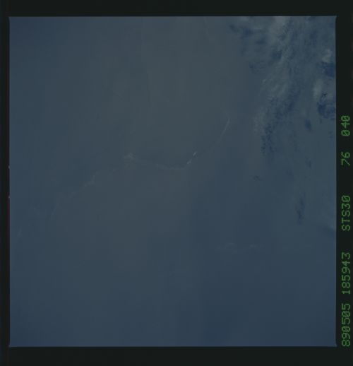
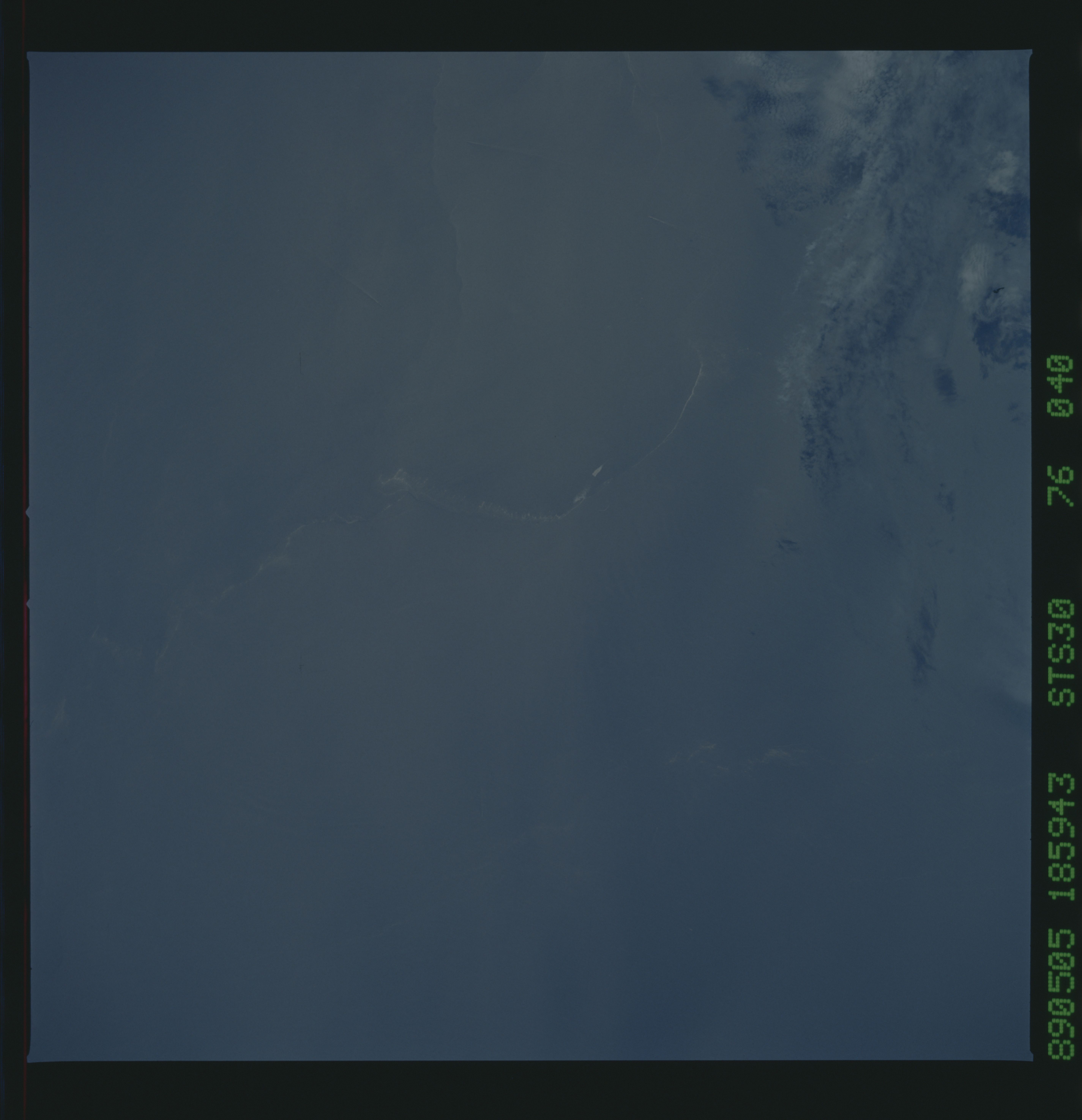
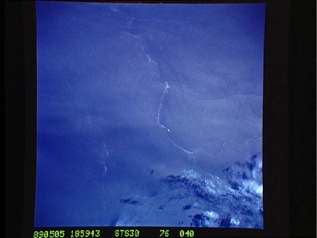
Oil Slicks
A surface oil slick in the Gulf of Mexico along the coast of
Louisiana is captured along a strong frontal boundary (1). While
the exact location of the feature is not known, the general
orientation may be approximated knowing the time (14:00 local)
and noting the relative location of clouds and associated sha-
dows. The front is oriented approximately parallel to the coast
(2). A second oil slick appears to be captured along a weaker
front, again oriented parallel to the coast. A third front ap-
pears to have formed perpendicular to and south of the strong
oil-baring front (3). The three short bright streaks (arrows)
south of the oil-bearing front are ship's wakes. (S30-76-40)
