STS029-86-74
| NASA Photo ID | STS029-86-74 |
| Focal Length | 100mm |
| Date taken | 1989.03.18 |
| Time taken | 08:35:55 GMT |
Cloud masks available for this image:
Spacecraft nadir point: 16.2° N, 34.9° E
Photo center point: 13.0° N, 34.0° E
Photo center point by machine learning:
Photo center point: 13.0° N, 34.0° E
Photo center point by machine learning:
Nadir to Photo Center: South
Spacecraft Altitude: 172 nautical miles (319km)
Country or Geographic Name: | SUDAN |
Features: | NILE RIVER, IRRIGATED AG |
| Features Found Using Machine Learning: | |
Cloud Cover Percentage: | 20 (11-25)% |
Sun Elevation Angle: | 65° |
Sun Azimuth: | 131° |
Camera: | Hasselblad |
Focal Length: | 100mm |
Camera Tilt: | 49 degrees |
Format: | 5017: Kodak, natural color positive, Ektachrome, X Professional, ASA 64, standard base |
Film Exposure: | Normal |
| Additional Information | |
| Width | Height | Annotated | Cropped | Purpose | Links |
|---|---|---|---|---|---|
| 5700 pixels | 5900 pixels | No | No | Download Image | |
| 500 pixels | 518 pixels | No | No | Download Image | |
| 640 pixels | 480 pixels | No | No | Download Image |
Download Packaged File
Download a Google Earth KML for this Image
View photo footprint information
Download a GeoTIFF for this photo
Image Caption:
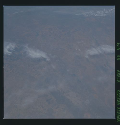
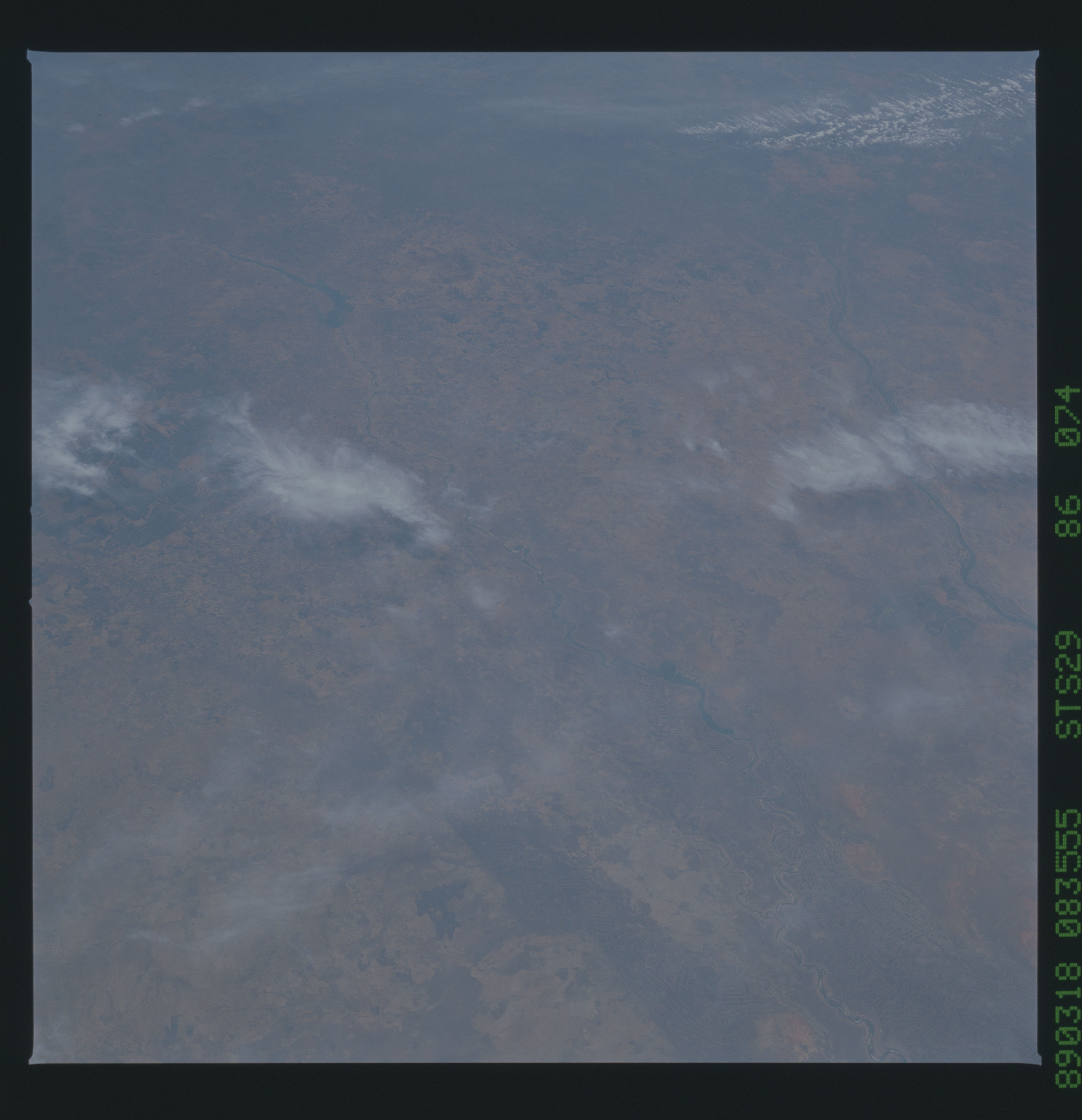
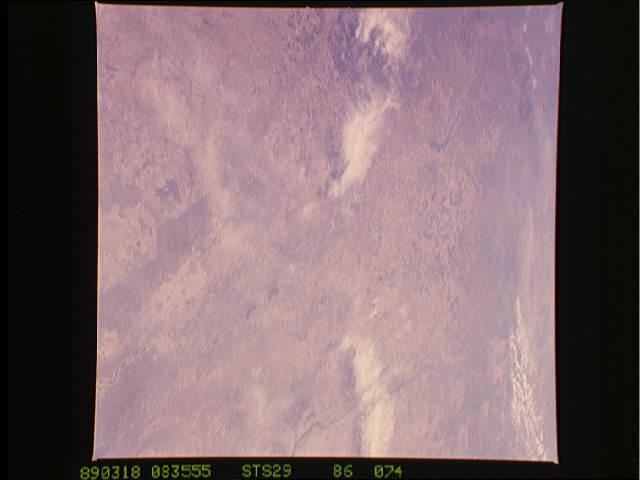
Sennar Reservoir, Sudan T32
The southern portions of the Sudan Agriculture Site are shown in
these two low oblique views. The Sennar Reservoir (1) can be
seen on both views. The top view looks southeastward toward the
Ethiopian Plateau and the Sudd Swamp. The Blue (2) and White Nile
(3) Rivers are visible. Near the upper left center of the photo-
graph, the large Rosieres Reservoir can be seen. The bottom view
gives a closer view of the Sannar Reservoir and the Irrigated
Agricultural Fields associated with water from the reservoir.
(S29-86-074, S29-79-102)
