STS028-97-86
| NASA Photo ID | STS028-97-86 |
| Focal Length | 250mm |
| Date taken | 1989.08.10 |
| Time taken | 20:46:04 GMT |
Resolutions offered for this image:
3904 x 3904 pixels 639 x 639 pixels 5700 x 5900 pixels 500 x 518 pixels 640 x 480 pixels
3904 x 3904 pixels 639 x 639 pixels 5700 x 5900 pixels 500 x 518 pixels 640 x 480 pixels


Cloud masks available for this image:
Spacecraft nadir point: 57.0° N, 138.7° W
Photo center point: 58.5° N, 137.0° W
Photo center point by machine learning:
Photo center point: 58.5° N, 137.0° W
Photo center point by machine learning:
Nadir to Photo Center: Northeast
Spacecraft Altitude: 162 nautical miles (300km)
Country or Geographic Name: | USA-ALASKA |
Features: | BRADY GL, MT. CRILLON |
| Features Found Using Machine Learning: | |
Cloud Cover Percentage: | 0 (no clouds present) |
Sun Elevation Angle: | 48° |
Sun Azimuth: | 168° |
Camera: | Hasselblad |
Focal Length: | 250mm |
Camera Tilt: | 40 degrees |
Format: | 5017: Kodak, natural color positive, Ektachrome, X Professional, ASA 64, standard base |
Film Exposure: | Normal |
| Additional Information | |
| Width | Height | Annotated | Cropped | Purpose | Links |
|---|---|---|---|---|---|
| 3904 pixels | 3904 pixels | No | No | Earth From Space collection | Download Image |
| 639 pixels | 639 pixels | No | No | Earth From Space collection | Download Image |
| 5700 pixels | 5900 pixels | No | No | Download Image | |
| 500 pixels | 518 pixels | No | No | Download Image | |
| 640 pixels | 480 pixels | No | No | Download Image |
Download Packaged File
Download a Google Earth KML for this Image
View photo footprint information
Download a GeoTIFF for this photo
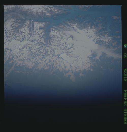
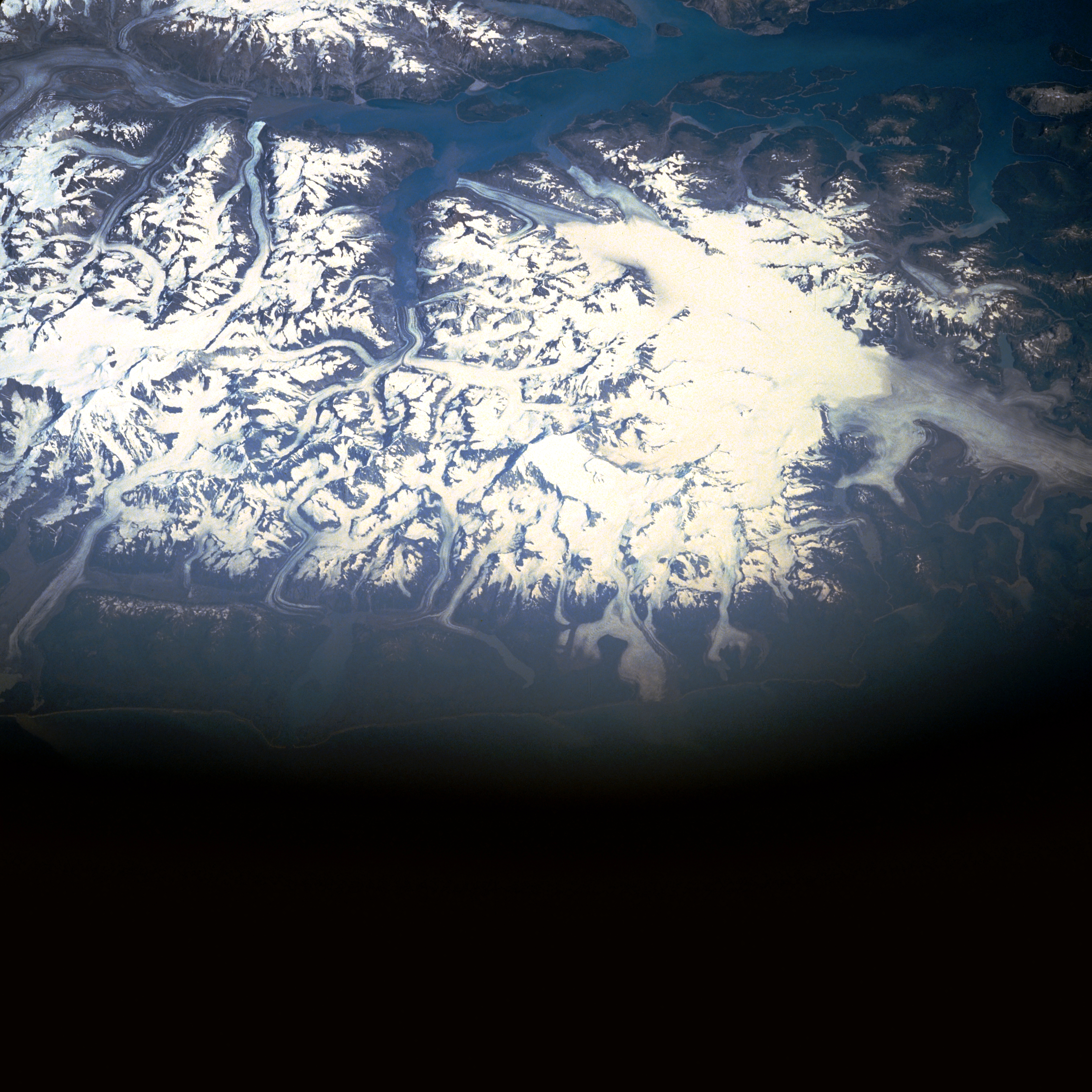
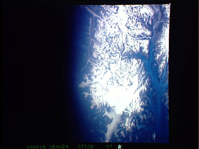
Image Caption: STS028-097-086 Glacier Bay National Park and Preserve, Alaska, U.S.A. August 1989
This partial frame captures a large section of Glacier Bay National Park and Preserve, with dark blue Glacier Bay surrounded by many inlets and fjords. The large, bright area to the right of the photograph is Brady Glacier from whose higher elevations numerous smaller valley glaciers radiate. Fairweather Range is the local name given to the Saint Elias Mountains west of Glacier Bay.
This partial frame captures a large section of Glacier Bay National Park and Preserve, with dark blue Glacier Bay surrounded by many inlets and fjords. The large, bright area to the right of the photograph is Brady Glacier from whose higher elevations numerous smaller valley glaciers radiate. Fairweather Range is the local name given to the Saint Elias Mountains west of Glacier Bay.
