STS028-76-56
| NASA Photo ID | STS028-76-56 |
| Focal Length | 250mm |
| Date taken | 1989.08.08 |
| Time taken | 22:07:14 GMT |
Resolutions offered for this image:
5303 x 5303 pixels 640 x 640 pixels 5700 x 5900 pixels 500 x 518 pixels 640 x 480 pixels
5303 x 5303 pixels 640 x 640 pixels 5700 x 5900 pixels 500 x 518 pixels 640 x 480 pixels

Cloud masks available for this image:
Spacecraft nadir point: 44.8° N, 104.4° W
Photo center point: 44.5° N, 100.5° W
Photo center point by machine learning:
Photo center point: 44.5° N, 100.5° W
Photo center point by machine learning:
Nadir to Photo Center: East
Spacecraft Altitude: 163 nautical miles (302km)
Country or Geographic Name: | USA-SOUTH DAKOTA |
Features: | MISSOURI RIVER, LAKE OAHE |
| Features Found Using Machine Learning: | |
Cloud Cover Percentage: | 5 (1-10)% |
Sun Elevation Angle: | 42° |
Sun Azimuth: | 248° |
Camera: | Hasselblad |
Focal Length: | 250mm |
Camera Tilt: | Low Oblique |
Format: | 5017: Kodak, natural color positive, Ektachrome, X Professional, ASA 64, standard base |
Film Exposure: | Normal |
| Additional Information | |
| Width | Height | Annotated | Cropped | Purpose | Links |
|---|---|---|---|---|---|
| 5303 pixels | 5303 pixels | No | No | Earth From Space collection | Download Image |
| 640 pixels | 640 pixels | No | No | Earth From Space collection | Download Image |
| 5700 pixels | 5900 pixels | No | No | Download Image | |
| 500 pixels | 518 pixels | No | No | Download Image | |
| 640 pixels | 480 pixels | No | No | Download Image |
Download Packaged File
Download a Google Earth KML for this Image
View photo footprint information
Download a GeoTIFF for this photo
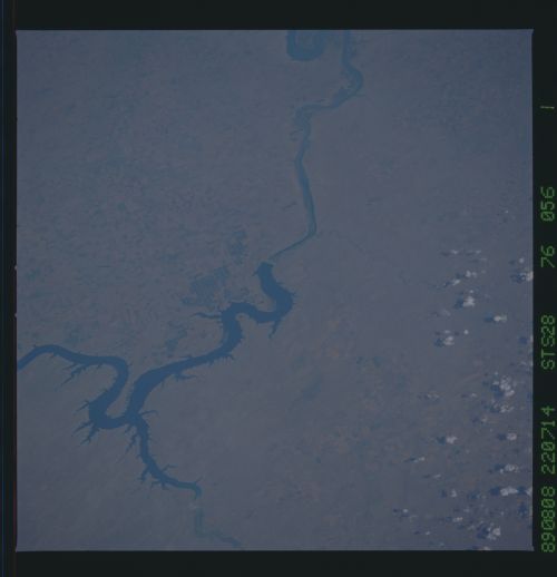
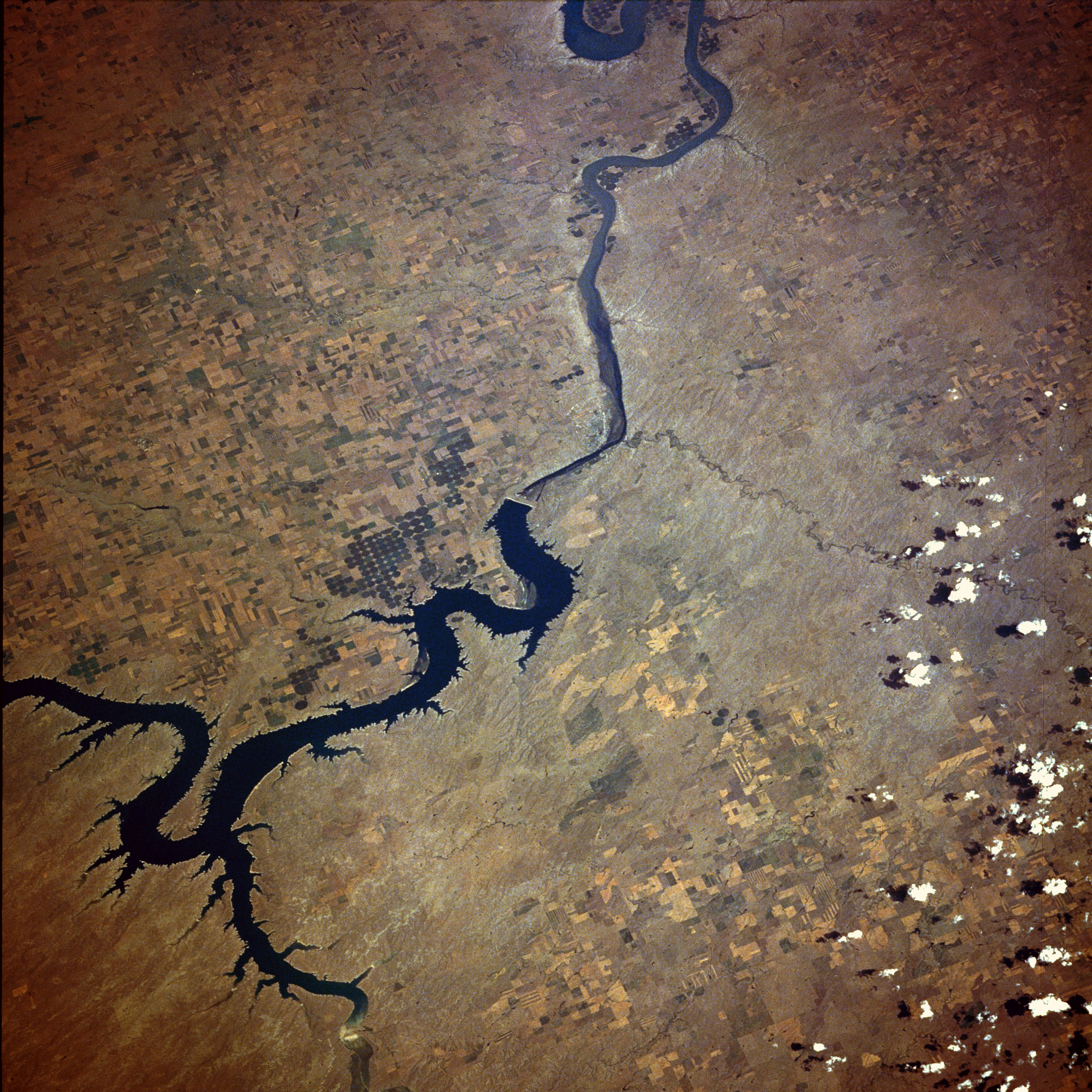
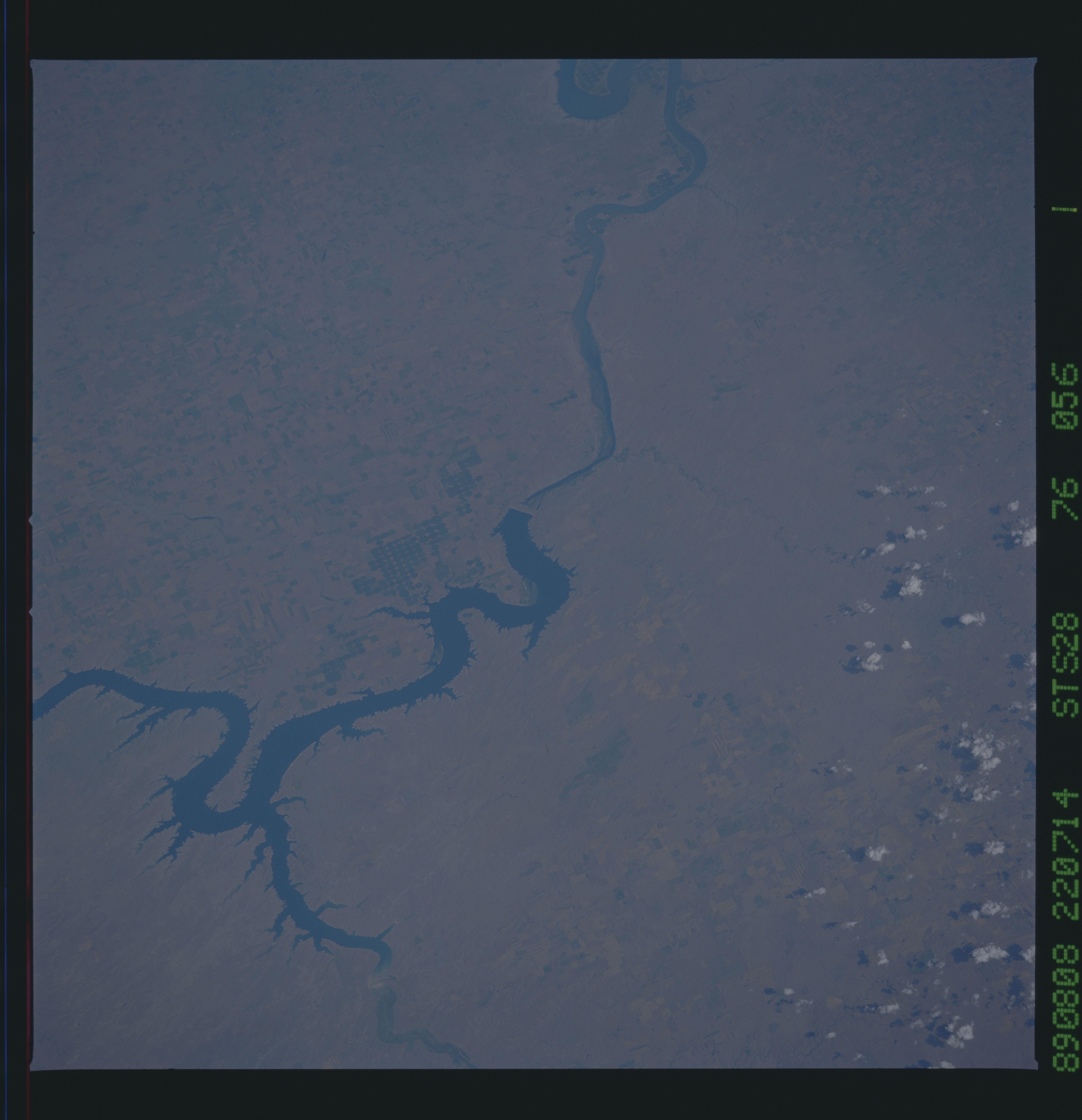
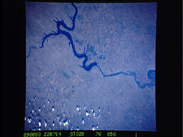
Image Caption: STS028-076-056 Oahe Reservoir and Missouri River, South Dakota, U.S.A. August 1989
The Oahe Reservoir in this southeast-looking, low-oblique photograph is one of many dams and reservoirs constructed in the late 1940s and the 1950s along the Missouri River, from eastern Montana through North Dakota and South Dakota. These reservoirs were built to provide flood control, hydroelectric power, irrigation, and recreation. Dams like the Oahe serve to impound, for later use, water from spring rains and snowmelt that swells the volume of the Missouri River during early and mid-spring. The dams also protect the countryside from a second flood stage that frequently occurs in June as the snow melts in the remote mountain systems to the west. As of 1984, the Oahe Dam was the largest rolled-earth dam in the United States. Problems continue to occur with the construction of these dams and large reservoirs. They cause large areas of once valuable farmland to be flooded permanently, resulting in losses in millions of dollars in farm revenue yearly. In addition, silt, fertilizers, and pesticides in the runoff from agricultural lands pollute the waters of these reservoirs. The positive and negative debates regarding the usefulness of these reservoirs continue today. Pierre, the capital of South Dakota, is barely discernible near the center of the photograph just southeast of the Oahe Dam, where the Bad River from the southwest joins the Missouri River.
The Oahe Reservoir in this southeast-looking, low-oblique photograph is one of many dams and reservoirs constructed in the late 1940s and the 1950s along the Missouri River, from eastern Montana through North Dakota and South Dakota. These reservoirs were built to provide flood control, hydroelectric power, irrigation, and recreation. Dams like the Oahe serve to impound, for later use, water from spring rains and snowmelt that swells the volume of the Missouri River during early and mid-spring. The dams also protect the countryside from a second flood stage that frequently occurs in June as the snow melts in the remote mountain systems to the west. As of 1984, the Oahe Dam was the largest rolled-earth dam in the United States. Problems continue to occur with the construction of these dams and large reservoirs. They cause large areas of once valuable farmland to be flooded permanently, resulting in losses in millions of dollars in farm revenue yearly. In addition, silt, fertilizers, and pesticides in the runoff from agricultural lands pollute the waters of these reservoirs. The positive and negative debates regarding the usefulness of these reservoirs continue today. Pierre, the capital of South Dakota, is barely discernible near the center of the photograph just southeast of the Oahe Dam, where the Bad River from the southwest joins the Missouri River.
