STS028-72-44
| NASA Photo ID | STS028-72-44 |
| Focal Length | 250mm |
| Date taken | 1989.08.08 |
| Time taken | 17:20:50 GMT |
Resolutions offered for this image:
358 x 457 pixels 5303 x 5303 pixels 640 x 640 pixels 5700 x 5900 pixels 500 x 518 pixels 640 x 480 pixels
358 x 457 pixels 5303 x 5303 pixels 640 x 640 pixels 5700 x 5900 pixels 500 x 518 pixels 640 x 480 pixels


Cloud masks available for this image:
Spacecraft nadir point: 49.3° N, 123.3° W
Photo center point: 49.0° N, 123.0° W
Photo center point by machine learning:
Photo center point: 49.0° N, 123.0° W
Photo center point by machine learning:
Nadir to Photo Center: Southeast
Spacecraft Altitude: 161 nautical miles (298km)
Country or Geographic Name: | CANADA-BC |
Features: | VANCOUVER |
| Features Found Using Machine Learning: | |
Cloud Cover Percentage: | 10 (1-10)% |
Sun Elevation Angle: | 41° |
Sun Azimuth: | 117° |
Camera: | Hasselblad |
Focal Length: | 250mm |
Camera Tilt: | 9 degrees |
Format: | 5017: Kodak, natural color positive, Ektachrome, X Professional, ASA 64, standard base |
Film Exposure: | Normal |
| Additional Information | |
| Width | Height | Annotated | Cropped | Purpose | Links |
|---|---|---|---|---|---|
| 358 pixels | 457 pixels | No | No | Cities collection | Download Image |
| 5303 pixels | 5303 pixels | No | No | Earth From Space collection | Download Image |
| 640 pixels | 640 pixels | No | No | Earth From Space collection | Download Image |
| 5700 pixels | 5900 pixels | No | No | Download Image | |
| 500 pixels | 518 pixels | No | No | Download Image | |
| 640 pixels | 480 pixels | No | No | Download Image |
Download Packaged File
Download a Google Earth KML for this Image
View photo footprint information
Download a GeoTIFF for this photo
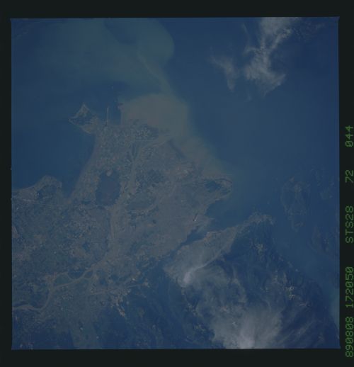
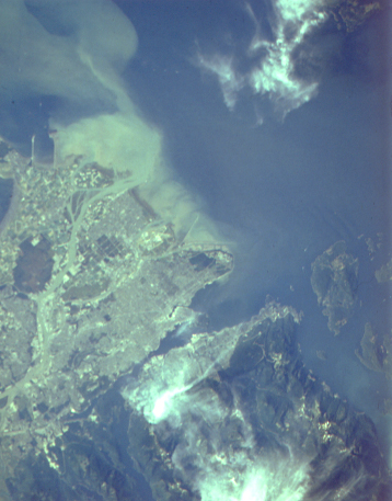
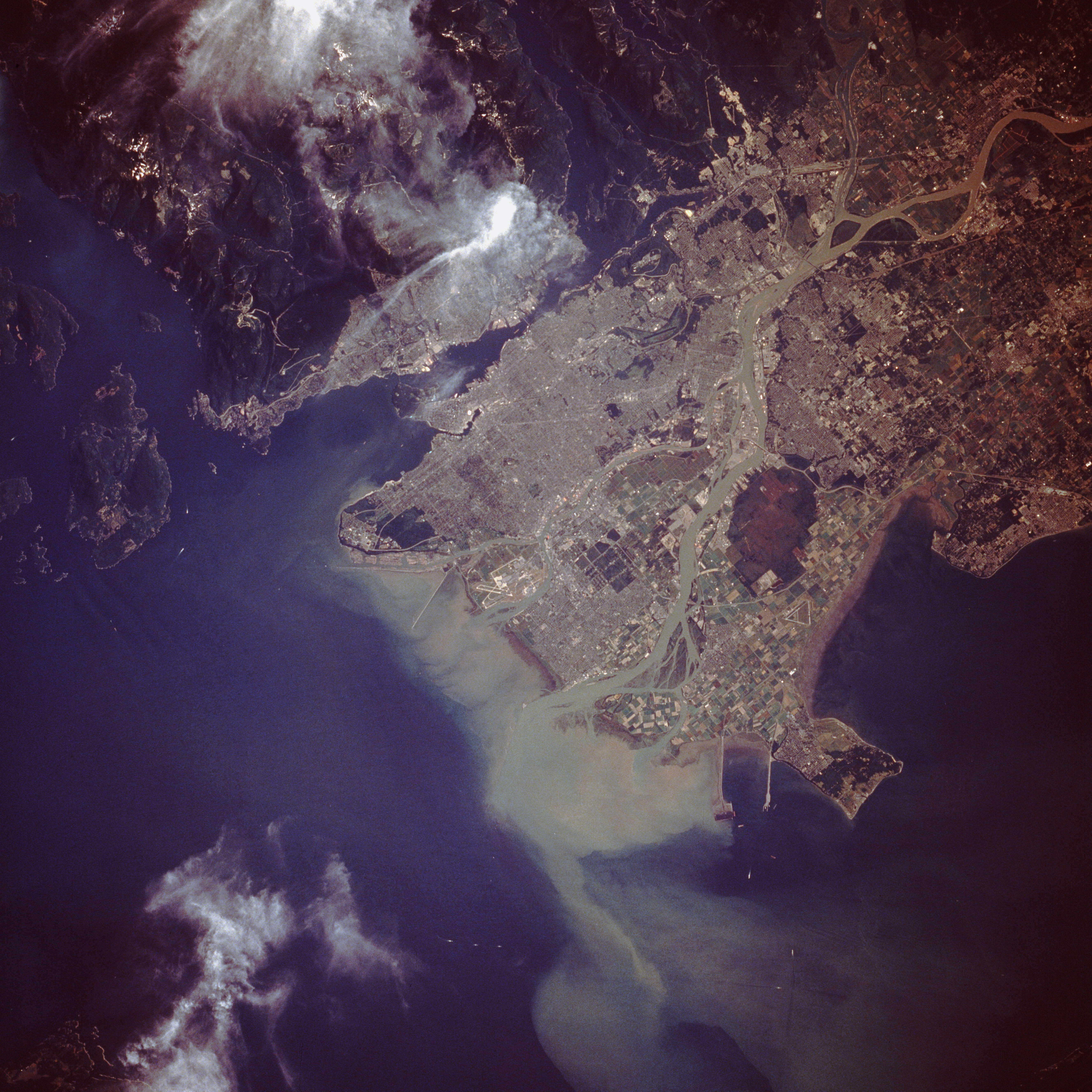
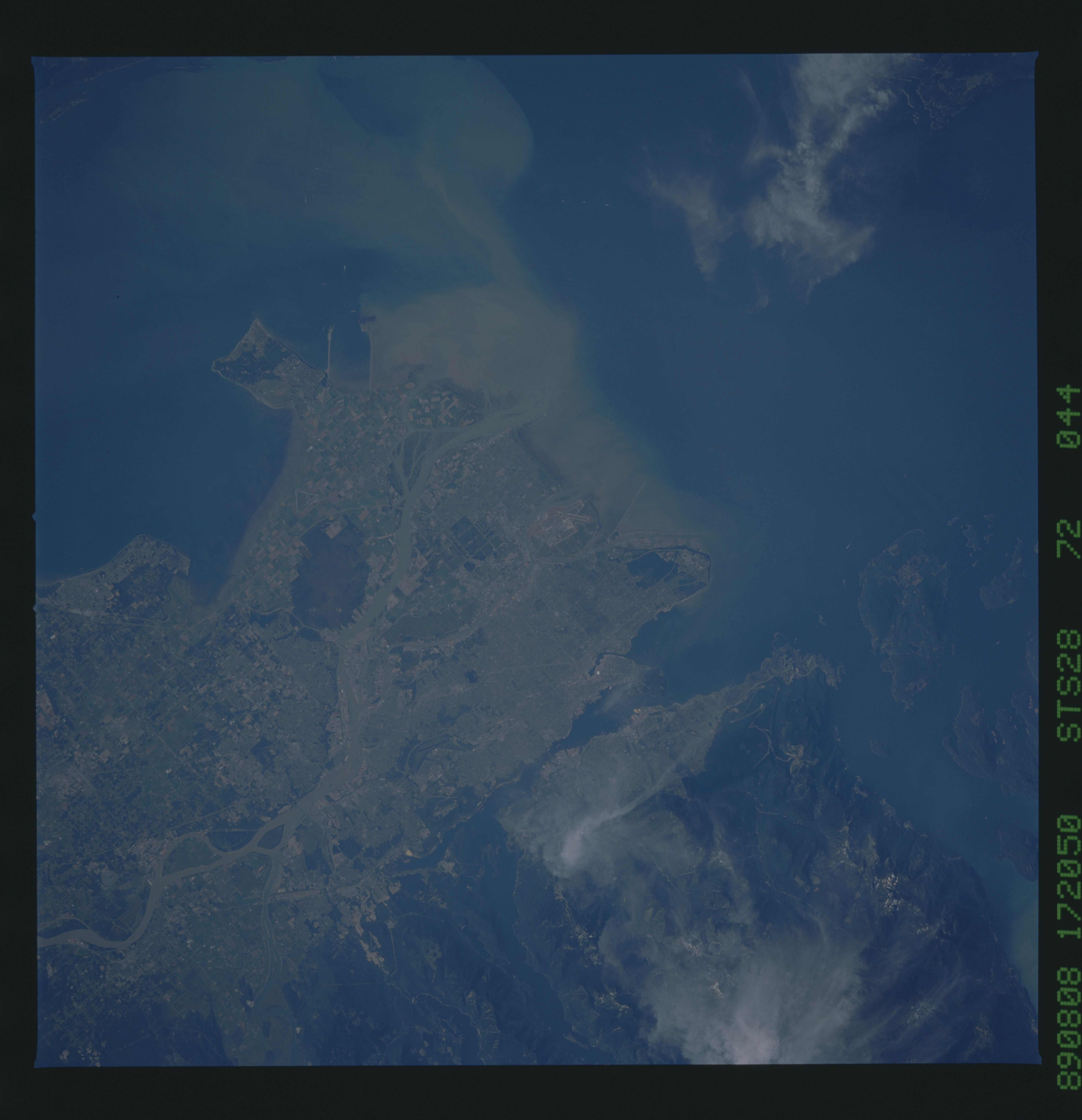
Image Caption: STS028-072-044 Vancouver, British Columbia, Canada August 1989
The dynamic infrastructure of the industrial and economic center for British Columbia, the port city of Vancouver, with more than 1.6 million residents, is revealed in this closeup photograph. The Fraser River produces two peninsulas and two large islands that comprise the greater Vancouver metropolitan area. The northern peninsula shows the dense grid street pattern that constitutes the downtown commercial district and surrounding residential areas. Vancouver International Airport is located on Sea Island, the small island south of downtown. Lulu Island (Richmond area), the largest island, has a dense residential and commercial area along the coast, and large cultivated fields are found toward the eastern part of the island. Toward the end of the large peninsula south of Lulu Island, generally known as the Delta area, is an undeveloped, heavily vegetated area (dark area). Large cultivated field patterns and the dark, undeveloped area jutting out from the southwest coast of the Delta are two linear manmade features--the north facility is a superport terminal for oceangoing vessels, and the south facility is a ferry terminal for the numerous ferries linking the mainland with Vancouver Island and the Gulf Islands. The 49th parallel, the United States-Canada border, bisects the smaller peninsula south of the ferry terminals; the southern half of the peninsula actually belongs to the United States. (Refer to STS-028-071-016 for a synoptic view of the physical setting of the greater Vancouver area.)
The dynamic infrastructure of the industrial and economic center for British Columbia, the port city of Vancouver, with more than 1.6 million residents, is revealed in this closeup photograph. The Fraser River produces two peninsulas and two large islands that comprise the greater Vancouver metropolitan area. The northern peninsula shows the dense grid street pattern that constitutes the downtown commercial district and surrounding residential areas. Vancouver International Airport is located on Sea Island, the small island south of downtown. Lulu Island (Richmond area), the largest island, has a dense residential and commercial area along the coast, and large cultivated fields are found toward the eastern part of the island. Toward the end of the large peninsula south of Lulu Island, generally known as the Delta area, is an undeveloped, heavily vegetated area (dark area). Large cultivated field patterns and the dark, undeveloped area jutting out from the southwest coast of the Delta are two linear manmade features--the north facility is a superport terminal for oceangoing vessels, and the south facility is a ferry terminal for the numerous ferries linking the mainland with Vancouver Island and the Gulf Islands. The 49th parallel, the United States-Canada border, bisects the smaller peninsula south of the ferry terminals; the southern half of the peninsula actually belongs to the United States. (Refer to STS-028-071-016 for a synoptic view of the physical setting of the greater Vancouver area.)
