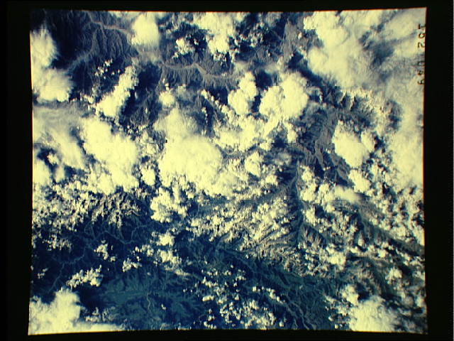
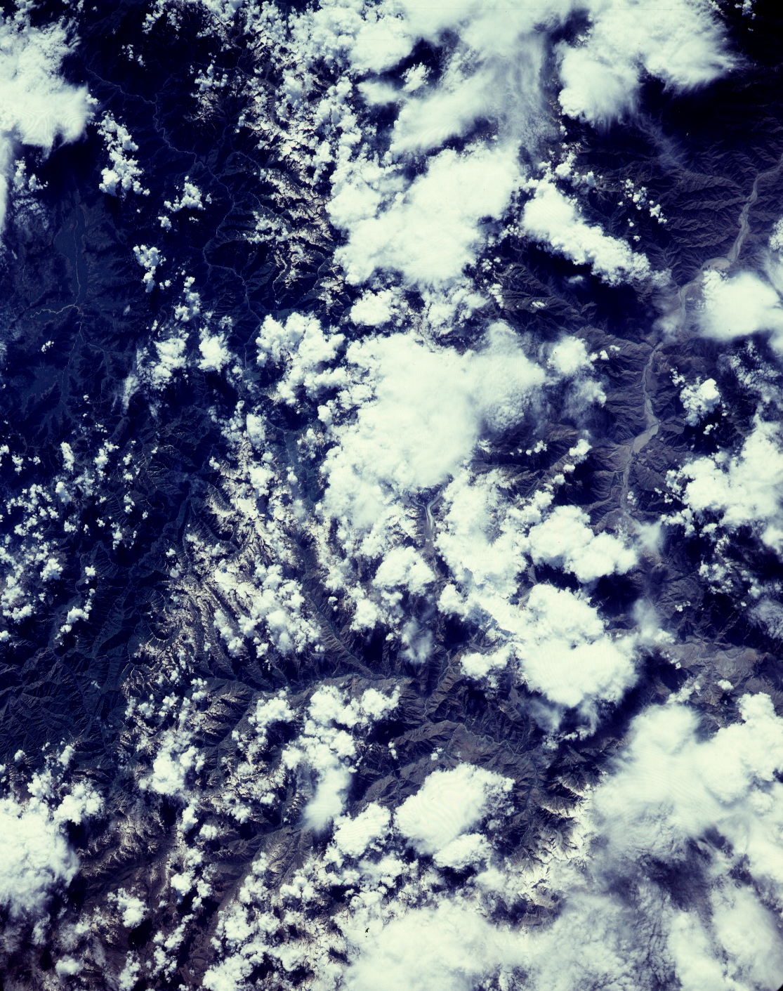
STS028-152-49
| NASA Photo ID | STS028-152-49 |
| Focal Length | 250mm |
| Date taken | 1989.08.10 |
| Time taken | 10:23:02 GMT |
Cloud masks available for this image:
Spacecraft nadir point: 36.0° N, 75.0° E
Photo center point: 35.0° N, 74.5° E
Photo center point by machine learning:
Photo center point: 35.0° N, 74.5° E
Photo center point by machine learning:
Nadir to Photo Center: South
Spacecraft Altitude: 164 nautical miles (304km)
Country or Geographic Name: | PAKISTAN |
Features: | INDUS R, KARAKORAM RANGE |
| Features Found Using Machine Learning: | |
Cloud Cover Percentage: | 40 (26-50)% |
Sun Elevation Angle: | 42° |
Sun Azimuth: | 258° |
Camera: | Linhof |
Focal Length: | 250mm |
Camera Tilt: | 22 degrees |
Format: | QX868: Kodak, natural color positive, Ektachrome QX868(5017 emulsion), ASA 64, thin base |
Film Exposure: | Normal |
| Additional Information | |
| Width | Height | Annotated | Cropped | Purpose | Links |
|---|---|---|---|---|---|
| 640 pixels | 480 pixels | No | No | ISD 1 | Download Image |
| 1115 pixels | 1411 pixels | No | No | Download Image |
Download Packaged File
Download a Google Earth KML for this Image
View photo footprint information
Download a GeoTIFF for this photo
Image Caption: none
