STS027-46-39
| NASA Photo ID | STS027-46-39 |
| Focal Length | 250mm |
| Date taken | 1988.12.05 |
| Time taken | 00:04:56 GMT |
Cloud masks available for this image:
Spacecraft nadir point: 3.4° S, 101.8° E
Photo center point: 3.0° S, 101.5° E
Photo center point by machine learning:
Photo center point: 3.0° S, 101.5° E
Photo center point by machine learning:
Nadir to Photo Center: Northwest
Spacecraft Altitude: 240 nautical miles (444km)
Country or Geographic Name: | INDONESIA |
Features: | SUMATRA, BARISAN MTS |
| Features Found Using Machine Learning: | |
Cloud Cover Percentage: | 10 (1-10)% |
Sun Elevation Angle: | 15° |
Sun Azimuth: | 112° |
Camera: | Hasselblad |
Focal Length: | 250mm |
Camera Tilt: | 7 degrees |
Format: | 5036: Kodak, natural color positive, Ektachrome 5036,200 Professional, ASA 200, stand |
Film Exposure: | Normal |
| Additional Information | |
| Width | Height | Annotated | Cropped | Purpose | Links |
|---|---|---|---|---|---|
| 5700 pixels | 5900 pixels | No | No | Download Image | |
| 500 pixels | 518 pixels | No | No | Download Image | |
| 640 pixels | 480 pixels | No | No | Download Image |
Download Packaged File
Download a Google Earth KML for this Image
View photo footprint information
Download a GeoTIFF for this photo
Image Caption:
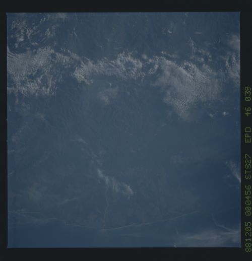
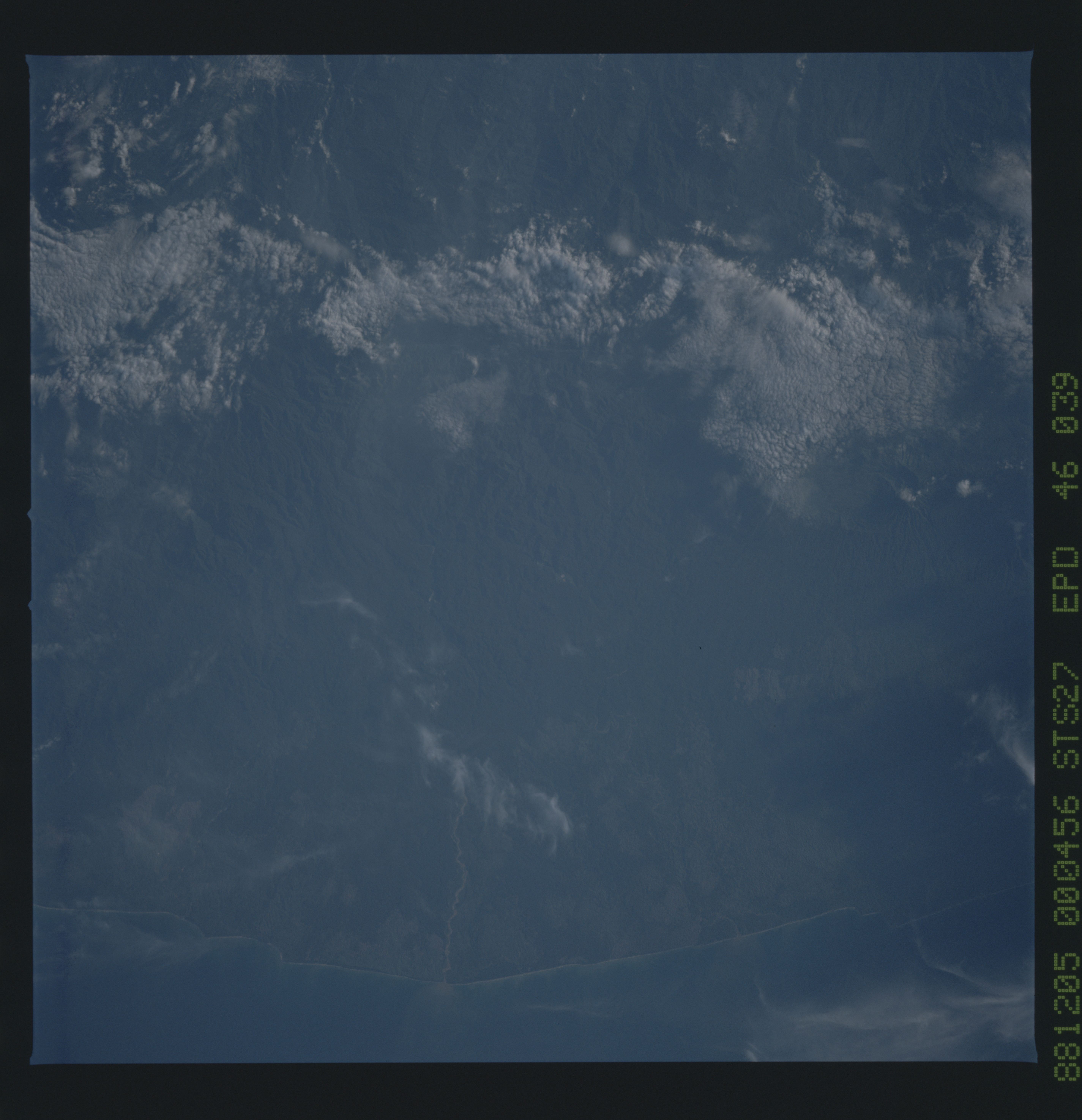
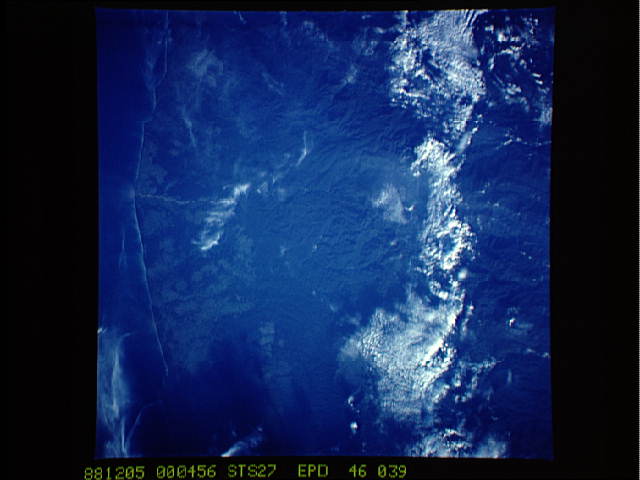
Barisan Mountains, Sumatra
This near-vertical photograph shows a fairly cloud-free view of
the Barisan Mountains in southwestern Sumatra. Except for areas
along the coast, the rugged mountains in these regions do not
show the patterns associated with deforestation. Elevations reach
approximately 3100 meters in this region. (S27-46-039)
