STS027-40-93

| NASA Photo ID | STS027-40-93 |
| Focal Length | 250mm |
| Date taken | 1988.12.04 |
| Time taken | 05:22:38 GMT |
Cloud masks available for this image:
Spacecraft nadir point: 0.0° N, 28.4° E
Photo center point: 0.5° N, 30.0° E
Photo center point by machine learning:
Photo center point: 0.5° N, 30.0° E
Photo center point by machine learning:
Nadir to Photo Center: East
Spacecraft Altitude: 240 nautical miles (444km)
Country or Geographic Name: | DEM. REP. OF CONGO |
Features: | KALENGILI MT. |
| Features Found Using Machine Learning: | |
Cloud Cover Percentage: | 5 (1-10)% |
Sun Elevation Angle: | 20° |
Sun Azimuth: | 114° |
Camera: | Hasselblad |
Focal Length: | 250mm |
Camera Tilt: | 23 degrees |
Format: | 5017: Kodak, natural color positive, Ektachrome, X Professional, ASA 64, standard base |
Film Exposure: | Normal |
| Additional Information | |
| Width | Height | Annotated | Cropped | Purpose | Links |
|---|---|---|---|---|---|
| 5700 pixels | 5900 pixels | No | No | Download Image | |
| 500 pixels | 518 pixels | No | No | Download Image | |
| 640 pixels | 480 pixels | No | No | Download Image |
Download Packaged File
Download a Google Earth KML for this Image
View photo footprint information
Download a GeoTIFF for this photo
Image Caption:
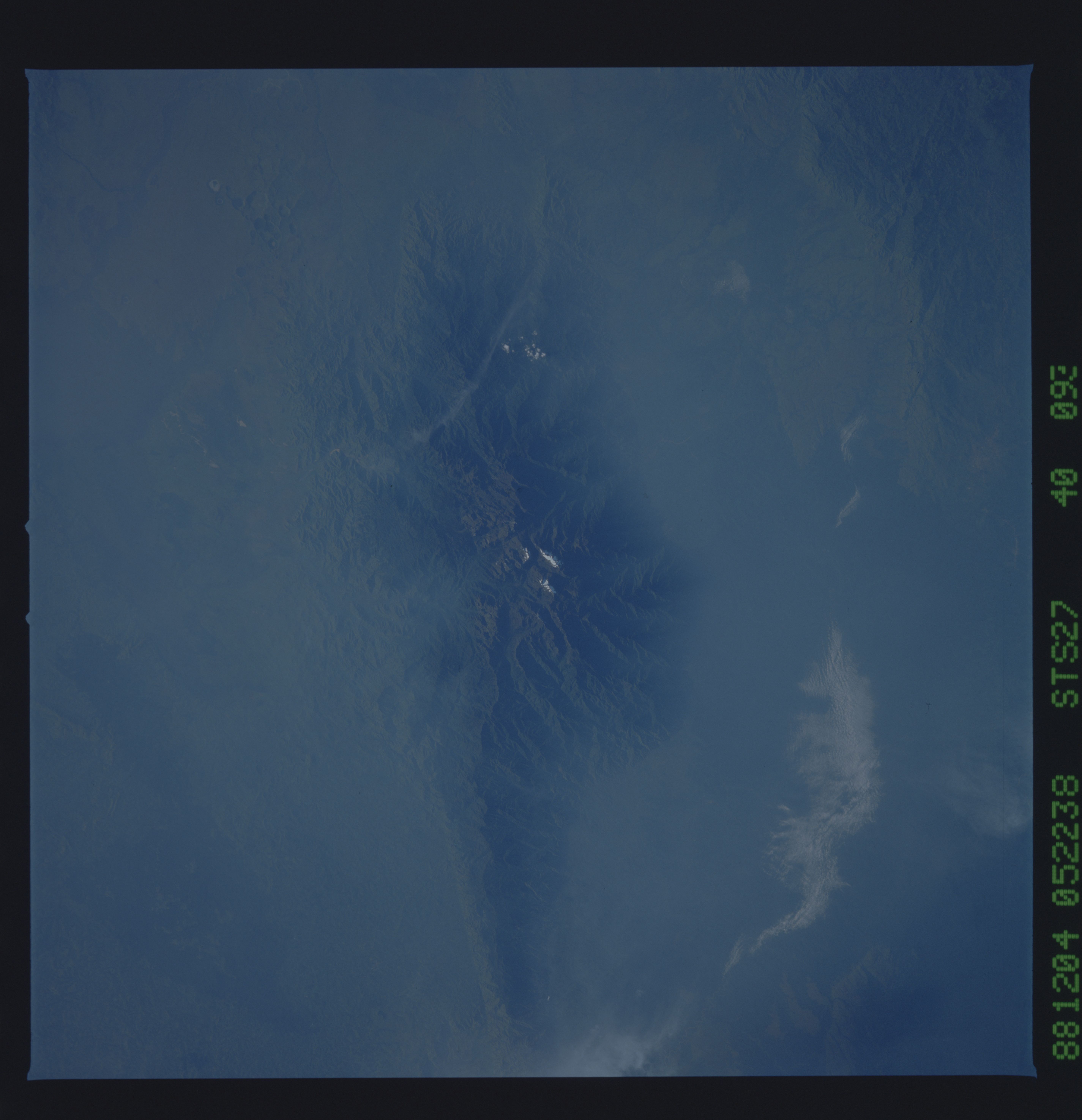
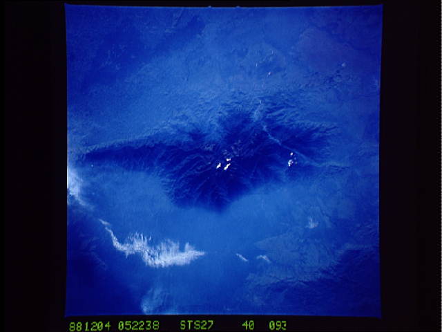
Mount Stanley T29
Two views, using different lenses, were taken of Mount Stanley in
December 1988. The volcanic mountain, located in the northern
part of the Western Rift Valley, adjacent to Lake Albert (1)
rises to more than 5000 m in elevation. Snow cover is visible
near the summit of the mountain. Much like Mt. Kenya and Mt. Kil-
manjaro, climate and vegetation change from savanah at the base
of the mountain to alpine or tundra-type conditions near the sum-
mit. Vegetation patterns can be seen on the bottom left view. A
series of escarpments (2) rise from the rift valley floor west of
the mountain. (S27-41-018, S27-40-093)
