STS026-38-18
| NASA Photo ID | STS026-38-18 |
| Focal Length | 100mm |
| Date taken | 1988.09.30 |
| Time taken | 20:52:06 GMT |
Cloud masks available for this image:
Spacecraft nadir point: 10.9° S, 56.3° W
Photo center point:
Photo center point by machine learning:
Photo center point:
Photo center point by machine learning:
Nadir to Photo Center:
Spacecraft Altitude: 163 nautical miles (302km)
Country or Geographic Name: | CLOUDS |
Features: | CLOUDS |
| Features Found Using Machine Learning: | |
Cloud Cover Percentage: | 90 (76-100)% |
Sun Elevation Angle: | 11° |
Sun Azimuth: | 268° |
Camera: | Hasselblad |
Focal Length: | 100mm |
Camera Tilt: | |
Format: | 5017: Kodak, natural color positive, Ektachrome, X Professional, ASA 64, standard base |
Film Exposure: | Normal |
| Additional Information | |
| Width | Height | Annotated | Cropped | Purpose | Links |
|---|---|---|---|---|---|
| 5700 pixels | 5900 pixels | No | No | Download Image | |
| 500 pixels | 518 pixels | No | No | Download Image | |
| 640 pixels | 480 pixels | No | No | Download Image |
Download Packaged File
Download a Google Earth KML for this Image
View photo footprint information
Download a GeoTIFF for this photo
Image Caption:
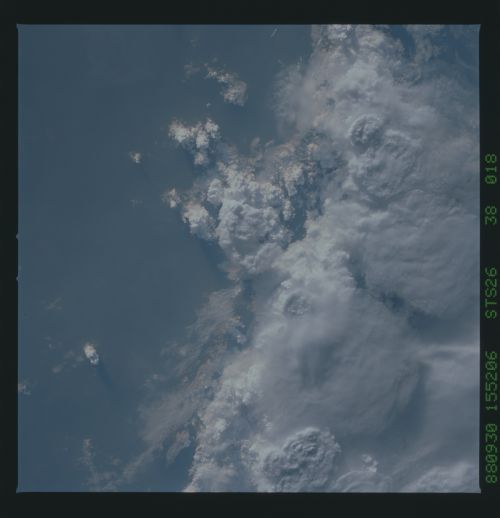
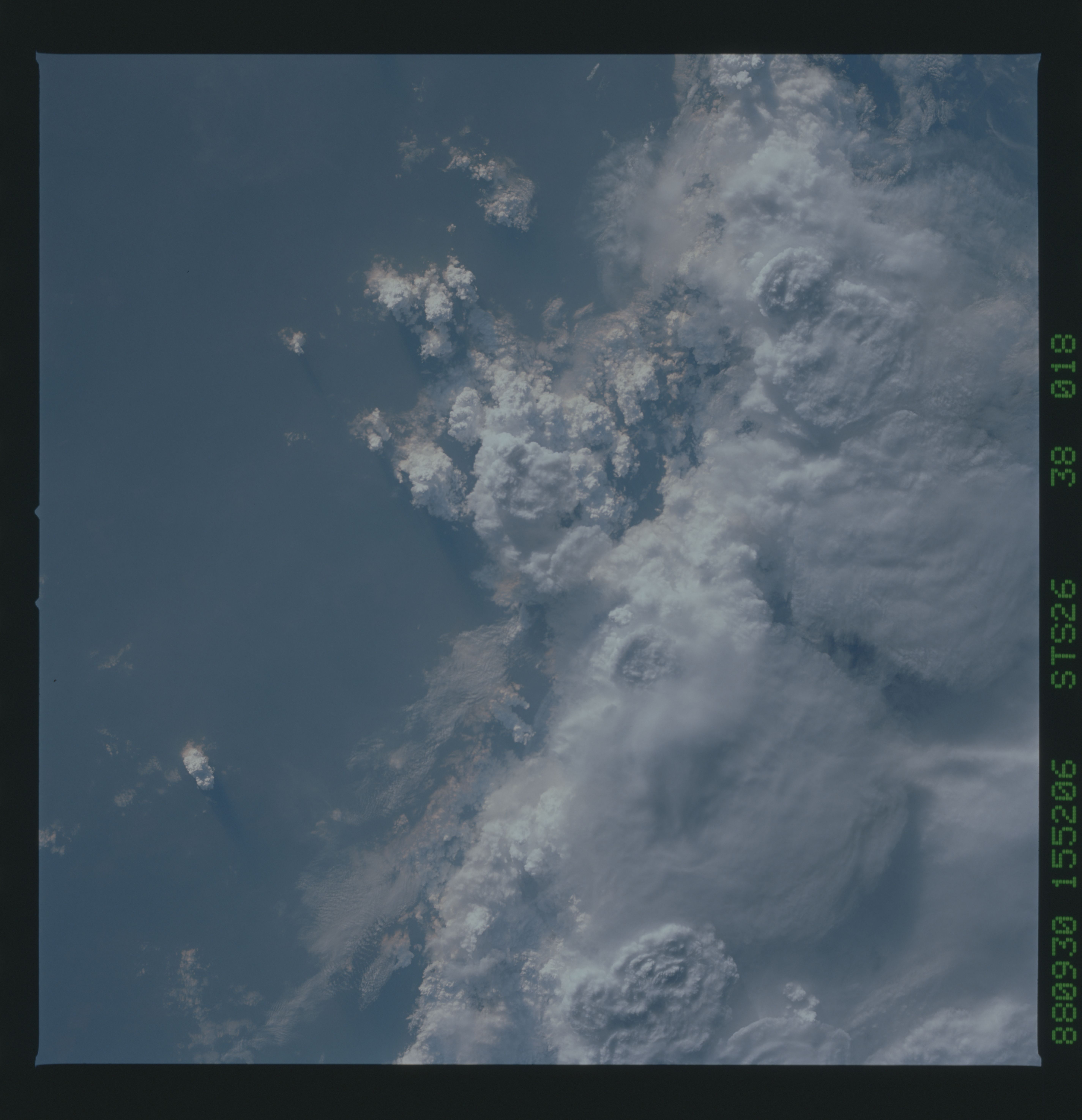
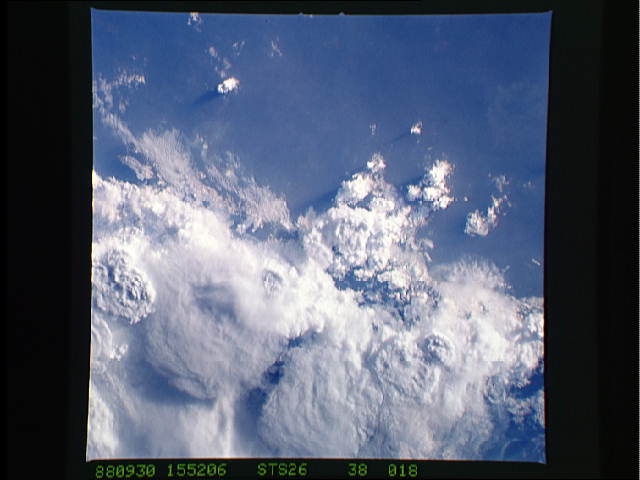
Thunderstorms; Amazon Basin, Brazil
A different perspective from the photograph above is seen in this
near-vertical view of thunder-storms over the southern Amazon
Basin in Brazil. The tops of the large thunderstorms are clearly
visible. Some cirrus clouds can been seen at the left of the
view, as winds aloft begin to shear off the tops of some of these
massive storms. New storm cells can be seen building at the
center and left of the photograph. (S26-38-018)
