STS009-37-1911
| NASA Photo ID | STS009-37-1911 |
| Focal Length | 250mm |
| Date taken | 1983.__.__ |
| Time taken | GMT |
Cloud masks available for this image:
Spacecraft nadir point:
Photo center point: 54.0° N, 137.0° E
Photo center point by machine learning:
Photo center point: 54.0° N, 137.0° E
Photo center point by machine learning:
Nadir to Photo Center:
Spacecraft Altitude: nautical miles (0km)
Country or Geographic Name: | RUSSIAN FEDERATION |
Features: | TUGURSKIY BAY/TUGUR R |
| Features Found Using Machine Learning: | |
Cloud Cover Percentage: | 1 (1-10)% |
Sun Elevation Angle: | ° |
Sun Azimuth: | ° |
Camera: | Hasselblad |
Focal Length: | 250mm |
Camera Tilt: | Low Oblique |
Format: | 6017: Kodak Ektachrome 64, 220 Roll Format |
Film Exposure: | Normal |
| Additional Information | |
| Width | Height | Annotated | Cropped | Purpose | Links |
|---|---|---|---|---|---|
| 4393 pixels | 4600 pixels | No | No | Download Image | |
| 478 pixels | 500 pixels | No | No | Download Image | |
| 640 pixels | 480 pixels | No | No | Download Image |
Download Packaged File
Download a Google Earth KML for this Image
View photo footprint information
Download a GeoTIFF for this photo
Image Caption:
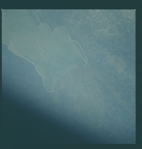
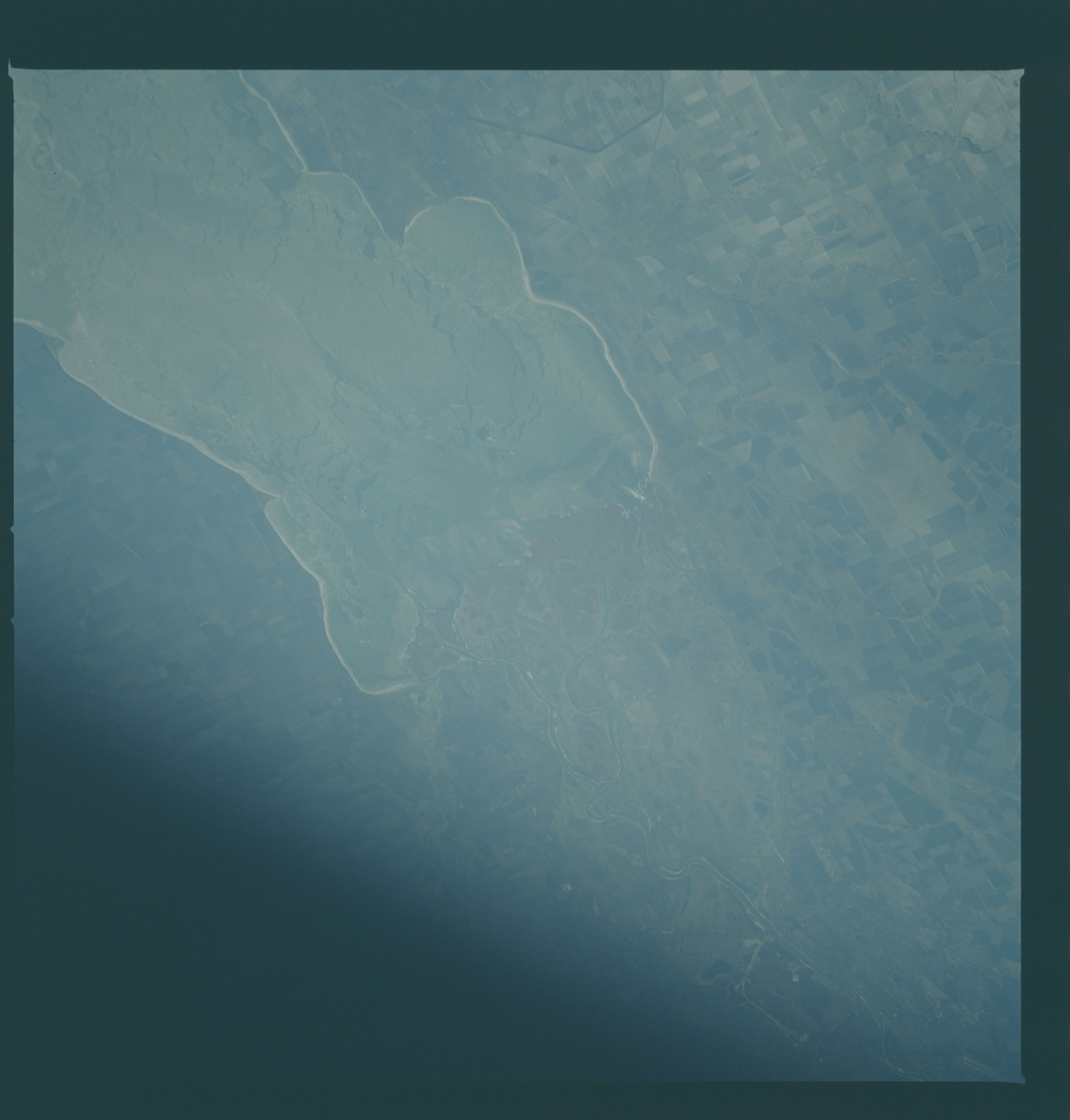
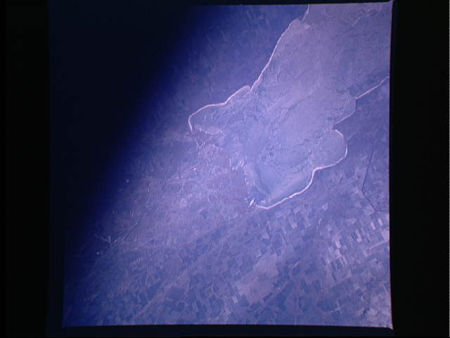
Mouth of the Don River T121
This STS-9 image shows Togannogskiry Bay (1) and the mouth of the
Don River (2) in the southern region of the Ukraine. The city of
Rostov (4) is located at the upper right edge of the view. Field
patterns, typical of agriculture in this area, can be seen on
both sides of the bay (3). (STS009-37-1911)
