STS009-35-1541
| NASA Photo ID | STS009-35-1541 |
| Focal Length | 100mm |
| Date taken | 1983.__.__ |
| Time taken | GMT |
Cloud masks available for this image:
Spacecraft nadir point:
Photo center point: 29.5° N, 102.5° W
Photo center point by machine learning:
Photo center point: 29.5° N, 102.5° W
Photo center point by machine learning:
Nadir to Photo Center:
Spacecraft Altitude: nautical miles (0km)
Country or Geographic Name: | MEXICO |
Features: | SR DEL BURRO/CHISOS MTS |
| Features Found Using Machine Learning: | |
Cloud Cover Percentage: | 15 (11-25)% |
Sun Elevation Angle: | ° |
Sun Azimuth: | ° |
Camera: | Hasselblad |
Focal Length: | 100mm |
Camera Tilt: | Low Oblique |
Format: | 6017: Kodak Ektachrome 64, 220 Roll Format |
Film Exposure: | Normal |
| Additional Information | |
| Width | Height | Annotated | Cropped | Purpose | Links |
|---|---|---|---|---|---|
| 4393 pixels | 4600 pixels | No | No | Download Image | |
| 478 pixels | 500 pixels | No | No | Download Image | |
| 640 pixels | 480 pixels | No | No | Download Image |
Download Packaged File
Download a Google Earth KML for this Image
View photo footprint information
Download a GeoTIFF for this photo
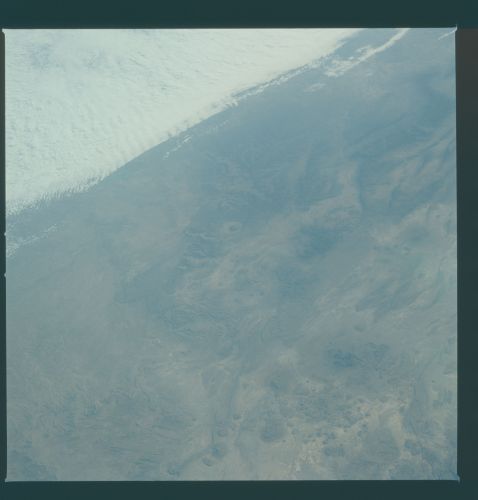
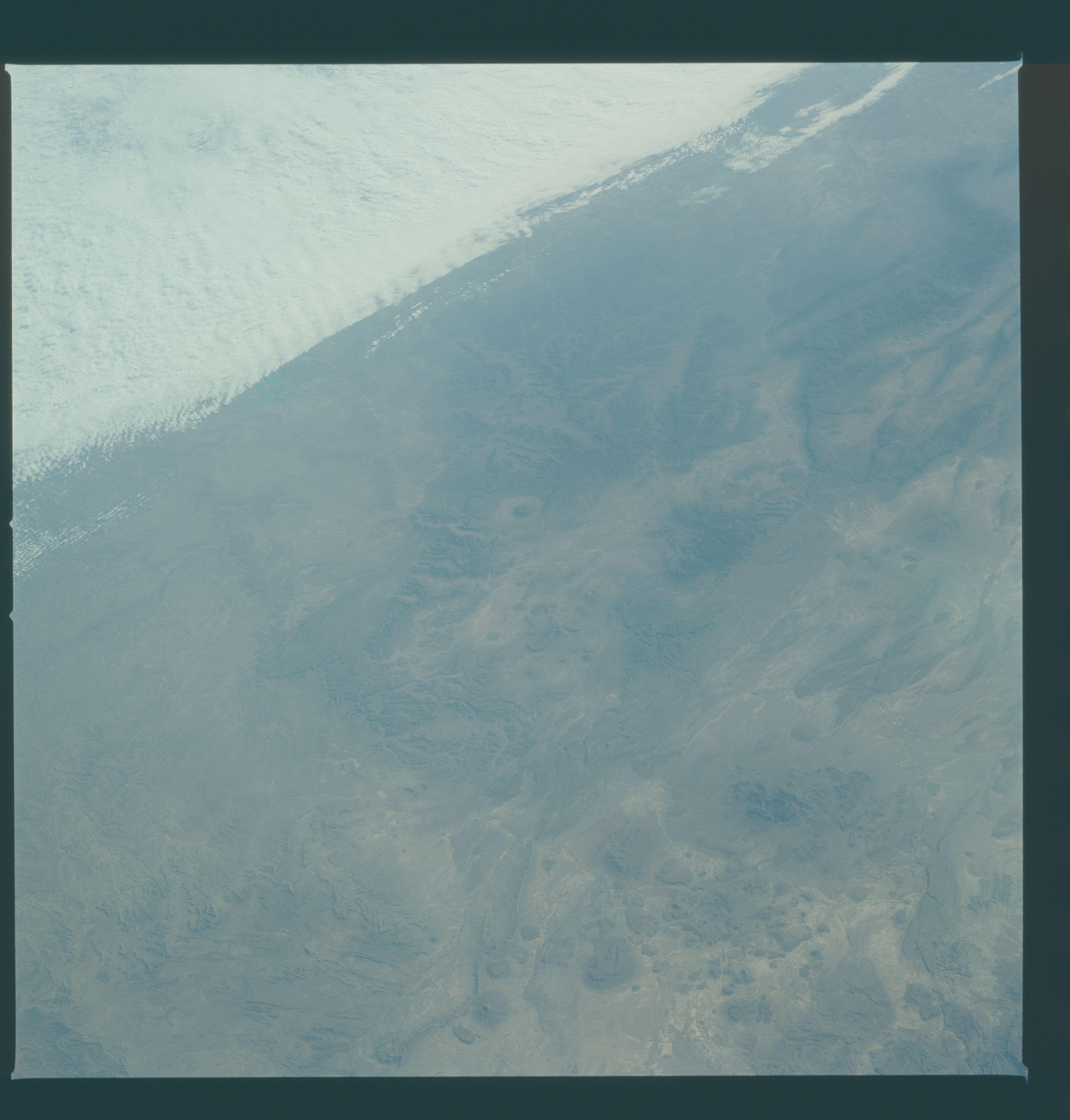
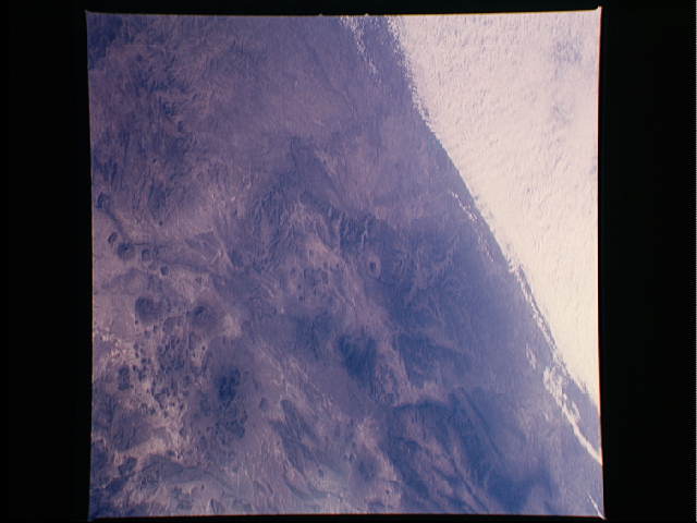
Image Caption: View eastward from about Lajitas; includes Santa Elena Canyon, Chisos. Cloud deck in the distance is about over Amistad Reservoir.
With the volcanic Chisos Mountains (1) in the foreground, the
folded and blocked-faulted ranges (2) of northern Sierra Madre
Oriental of Mexico are visible on the opposite side of the Rio
Grande (3). The heavily eroded Serranias del Burro (4) are visi-
ble to the south of the Rio Grande. (S09-35-1541)
