STS008-36-1403
| NASA Photo ID | STS008-36-1403 |
| Focal Length | 250mm |
| Date taken | 1983.__.__ |
| Time taken | GMT |
Resolutions offered for this image:
4096 x 4096 pixels 640 x 640 pixels 4393 x 4600 pixels 478 x 500 pixels 640 x 480 pixels 974 x 850 pixels 623 x 637 pixels
4096 x 4096 pixels 640 x 640 pixels 4393 x 4600 pixels 478 x 500 pixels 640 x 480 pixels 974 x 850 pixels 623 x 637 pixels


Cloud masks available for this image:
Spacecraft nadir point:
Photo center point: 29.5° S, 178.0° W
Photo center point by machine learning:
Photo center point: 29.5° S, 178.0° W
Photo center point by machine learning:
Nadir to Photo Center:
Spacecraft Altitude: nautical miles (0km)
Country or Geographic Name: | NEW ZEALAND |
Features: | KERMADEC ISLANDS |
| Features Found Using Machine Learning: | |
Cloud Cover Percentage: | 3 (1-10)% |
Sun Elevation Angle: | ° |
Sun Azimuth: | ° |
Camera: | Hasselblad |
Focal Length: | 250mm |
Camera Tilt: | Low Oblique |
Format: | 6017: Kodak Ektachrome 64, 220 Roll Format |
Film Exposure: | Normal |
| Additional Information | |
| Width | Height | Annotated | Cropped | Purpose | Links |
|---|---|---|---|---|---|
| 4096 pixels | 4096 pixels | No | No | Earth From Space collection | Download Image |
| 640 pixels | 640 pixels | No | No | Earth From Space collection | Download Image |
| 4393 pixels | 4600 pixels | No | No | Download Image | |
| 478 pixels | 500 pixels | No | No | Download Image | |
| 640 pixels | 480 pixels | No | No | Download Image | |
| 974 pixels | 850 pixels | No | Yes | ReefBase 1 | Download Image |
| 623 pixels | 637 pixels | No | No | Download Image |
Download Packaged File
Download a Google Earth KML for this Image
View photo footprint information
Download a GeoTIFF for this photo
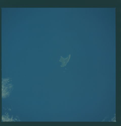
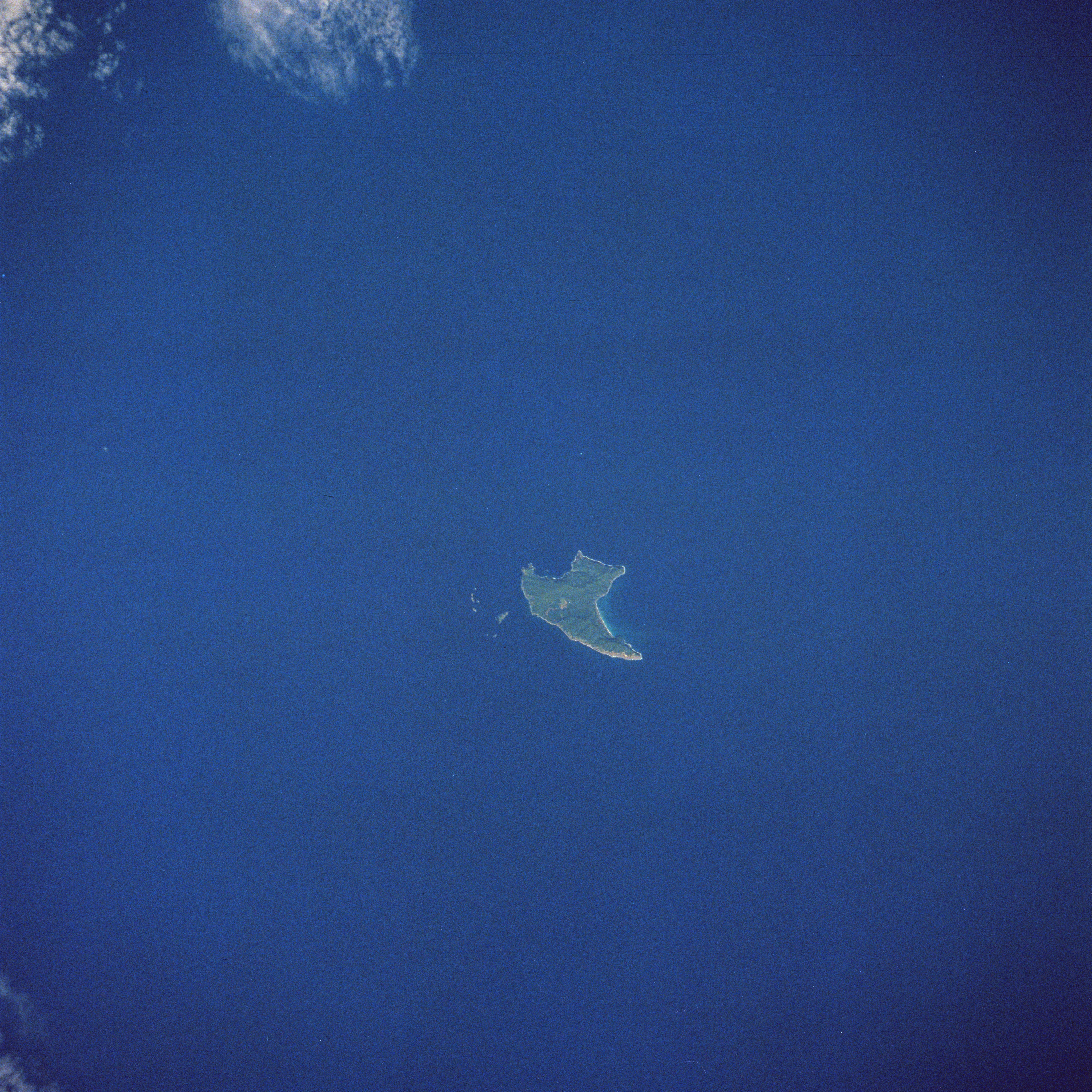
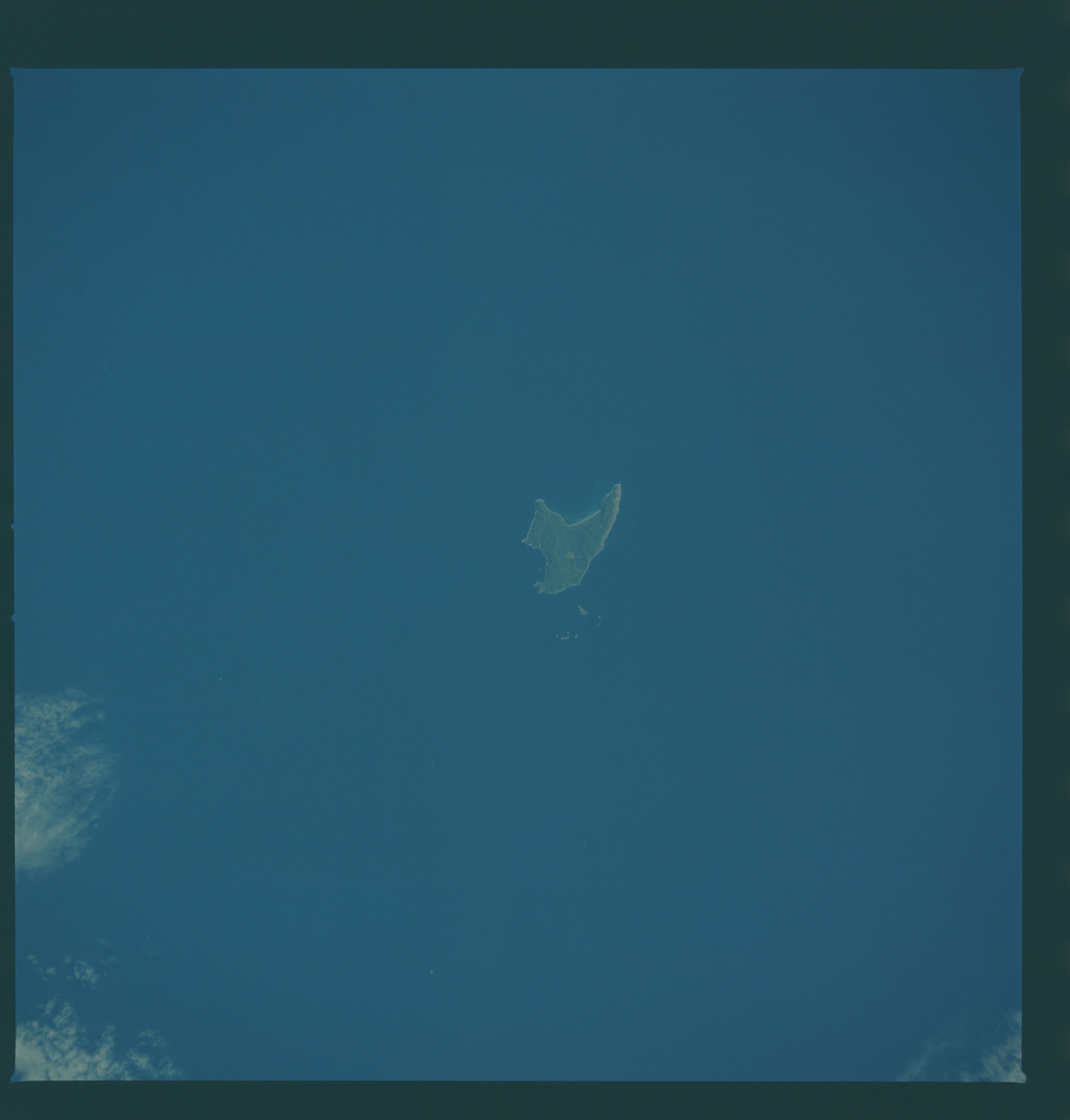
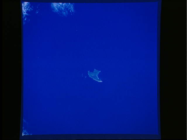
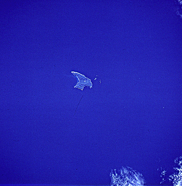
Image Caption: STS008-36-1403 Raoul Island, Kermadec Islands September 1983
The most active volcanic island of all of the Kermadec Islands, Raoul can be seen in this south-looking view. Raoul, a stratovolcano, is located halfway between North Island, New Zealand, and Tonga Island in the Pacific's volcanic "Ring of Fire." Raoul sits atop the Indian/Australian Plate. The Pacific Plate to the island's east (left) is subducting beneath the Indian/Australian Plate forming the Tonga/Kermadec Trench. Raoul Volcano rises 8987 feet (2740 meters) above the ocean floor. The volcano rises to 1693 feet (516 meters) above sea level. The island is roughly triangular in shape with an area of 11 square miles (29 square km). Raoul has erupted 14 times in the historic past, the last in November 1964.
The most active volcanic island of all of the Kermadec Islands, Raoul can be seen in this south-looking view. Raoul, a stratovolcano, is located halfway between North Island, New Zealand, and Tonga Island in the Pacific's volcanic "Ring of Fire." Raoul sits atop the Indian/Australian Plate. The Pacific Plate to the island's east (left) is subducting beneath the Indian/Australian Plate forming the Tonga/Kermadec Trench. Raoul Volcano rises 8987 feet (2740 meters) above the ocean floor. The volcano rises to 1693 feet (516 meters) above sea level. The island is roughly triangular in shape with an area of 11 square miles (29 square km). Raoul has erupted 14 times in the historic past, the last in November 1964.
