STS007-5-257
| NASA Photo ID | STS007-5-257 |
| Focal Length | 250mm |
| Date taken | 1983.06.__ |
| Time taken | GMT |
Cloud masks available for this image:
Spacecraft nadir point:
Photo center point: 29.0° N, 49.0° E
Photo center point by machine learning:
Photo center point: 29.0° N, 49.0° E
Photo center point by machine learning:
Nadir to Photo Center:
Spacecraft Altitude: nautical miles (0km)
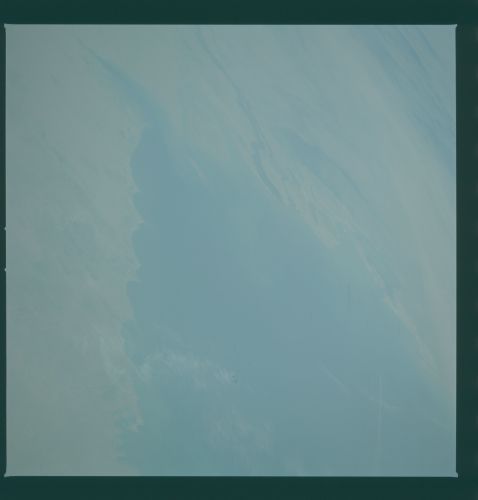
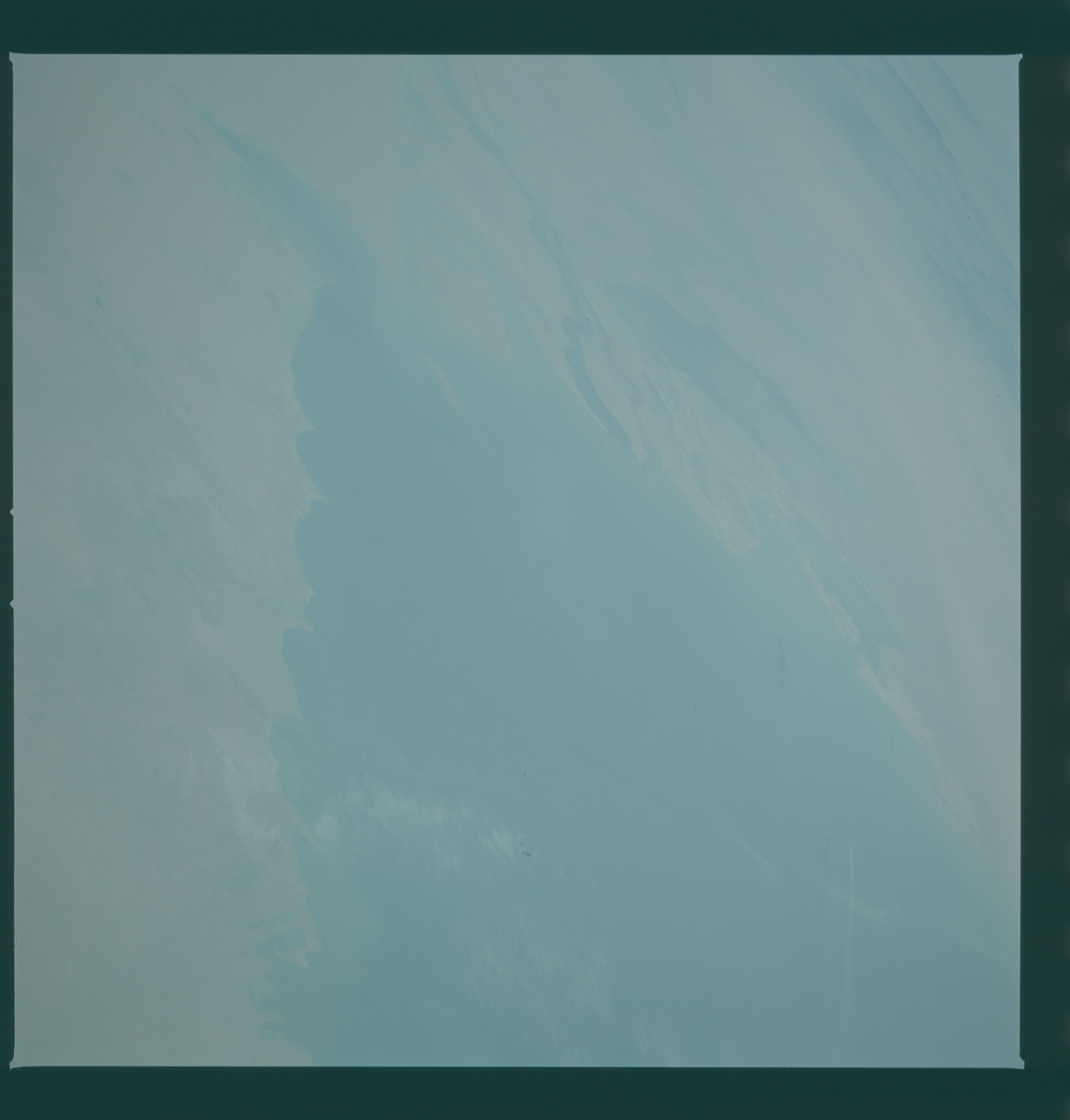
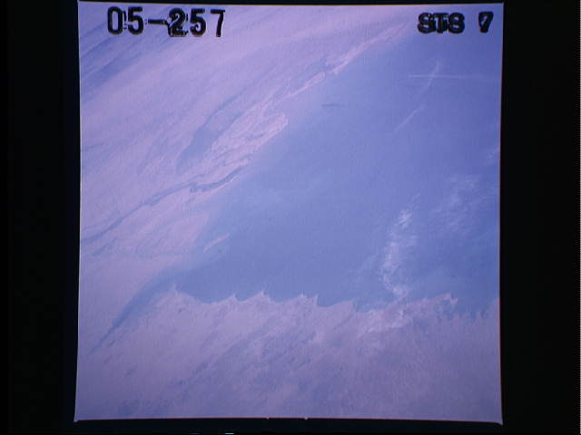
Country or Geographic Name: | IRAN |
Features: | OIL SLICK |
| Features Found Using Machine Learning: | |
Cloud Cover Percentage: | 5 (1-10)% |
Sun Elevation Angle: | ° |
Sun Azimuth: | ° |
Camera: | Hasselblad |
Focal Length: | 250mm |
Camera Tilt: | Low Oblique |
Format: | 5017: Kodak, natural color positive, Ektachrome, X Professional, ASA 64, standard base |
Film Exposure: | Over Exposed |
| Additional Information | |
| Width | Height | Annotated | Cropped | Purpose | Links |
|---|---|---|---|---|---|
| 4393 pixels | 4600 pixels | No | No | Download Image | |
| 478 pixels | 500 pixels | No | No | Download Image | |
| 640 pixels | 480 pixels | No | No | Download Image |
Download Packaged File
Download a Google Earth KML for this Image
View photo footprint information
Download a GeoTIFF for this photo
Image Caption: An oblique view of the northwest Persian Gulf Region (29.5N, 48.0E) with Iraq and Iran at the north end of the Gulf separated by the Tigres-Euphrates river system. The hazy nature of the photo is because of a dust storm blowing across Iraq and Iran as well as smoke from oil well fires seen in the tiny but oil rich nation of Kuwait at upper right. Over the years, other out of control oil wells have spilled millions of barrels of oil into the Gulf.
