STS004-37-658

| NASA Photo ID | STS004-37-658 |
| Focal Length | 100mm |
| Date taken | 1982.__.__ |
| Time taken | GMT |
Cloud masks available for this image:
Spacecraft nadir point:
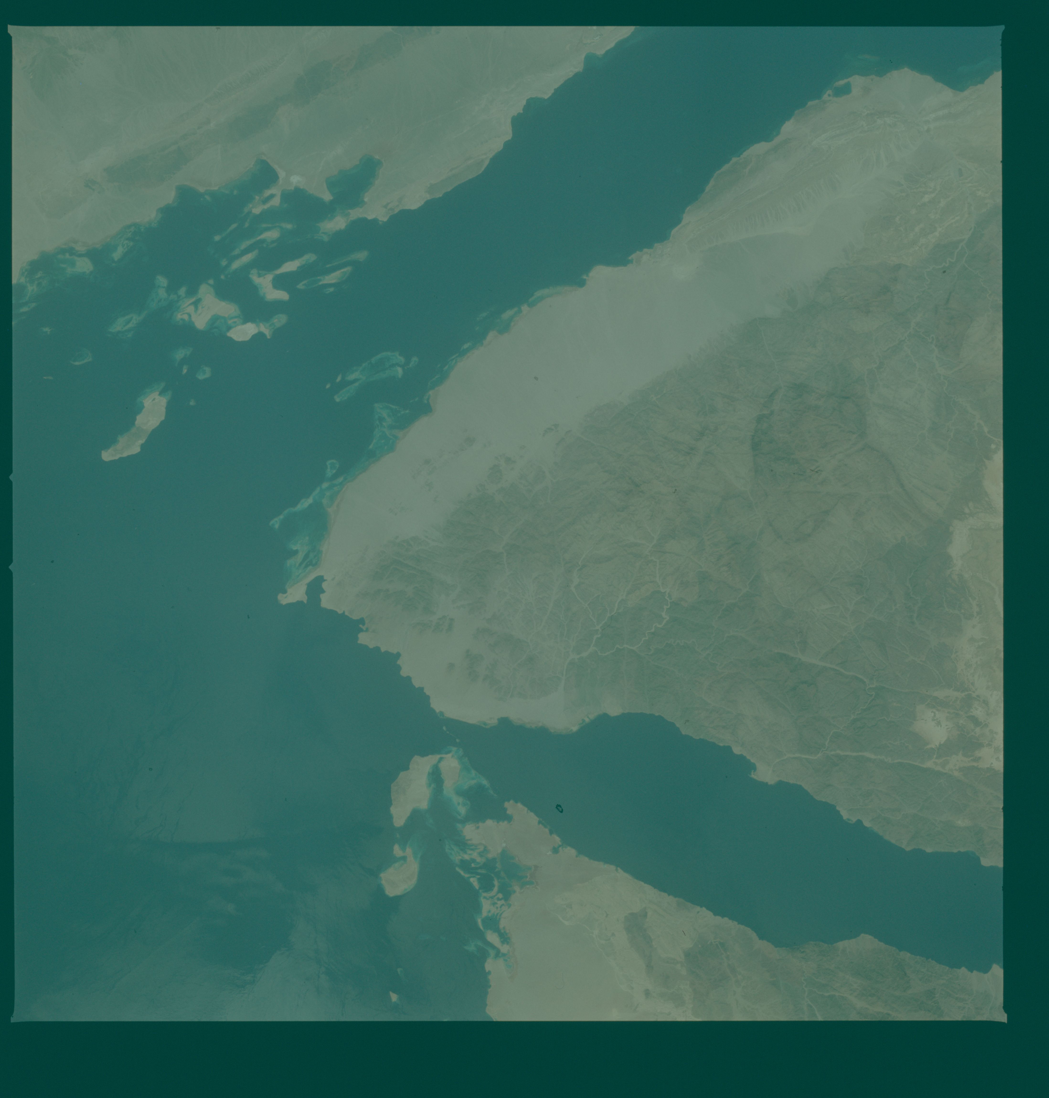
Photo center point: 28.0° N, 34.0° E
Photo center point by machine learning:
Photo center point: 28.0° N, 34.0° E
Photo center point by machine learning:
Nadir to Photo Center:
Spacecraft Altitude: nautical miles (0km)
Country or Geographic Name: | EGYPT |
Features: | SINAI PENINSULA |
| Features Found Using Machine Learning: | |
Cloud Cover Percentage: | 0 (no clouds present) |
Sun Elevation Angle: | ° |
Sun Azimuth: | ° |
Camera: | Hasselblad |
Focal Length: | 100mm |
Camera Tilt: | Near Vertical |
Format: | 2448: Fine Grain Aerochrome II color-reversal camera film, 70mm, process EA-5 |
Film Exposure: | Normal |
| Additional Information | |
| Width | Height | Annotated | Cropped | Purpose | Links |
|---|---|---|---|---|---|
| 4393 pixels | 4600 pixels | No | No | Download Image | |
| 478 pixels | 500 pixels | No | No | Download Image | |
| 640 pixels | 480 pixels | No | No | Download Image |
Download Packaged File
Download a Google Earth KML for this Image
View photo footprint information
Download a GeoTIFF for this photo
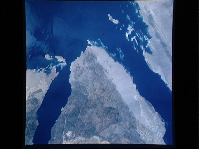
Image Caption: An excellent detailed view of the Southern tip of the Sinai Peninsula (28.0N, 34.0E) at Ras (Cape) Muhammad where the Red Sea splits into the Gulf of Aqaba to the right and the Gulf of Suez to the left. To the right is NW Saudi Arabia, and in the center, near the top of the scene, Gabel Musa, the traditional Mt. Sinai can be seen while at the left, is the east coast of Egypt. Numerous reefs in this region provide excellent diving opportunities.
