STS002-9-507
| NASA Photo ID | STS002-9-507 |
| Focal Length | 100mm |
| Date taken | 1981.11.__ |
| Time taken | GMT |

Cloud masks available for this image:
Spacecraft nadir point:
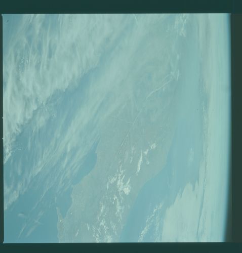
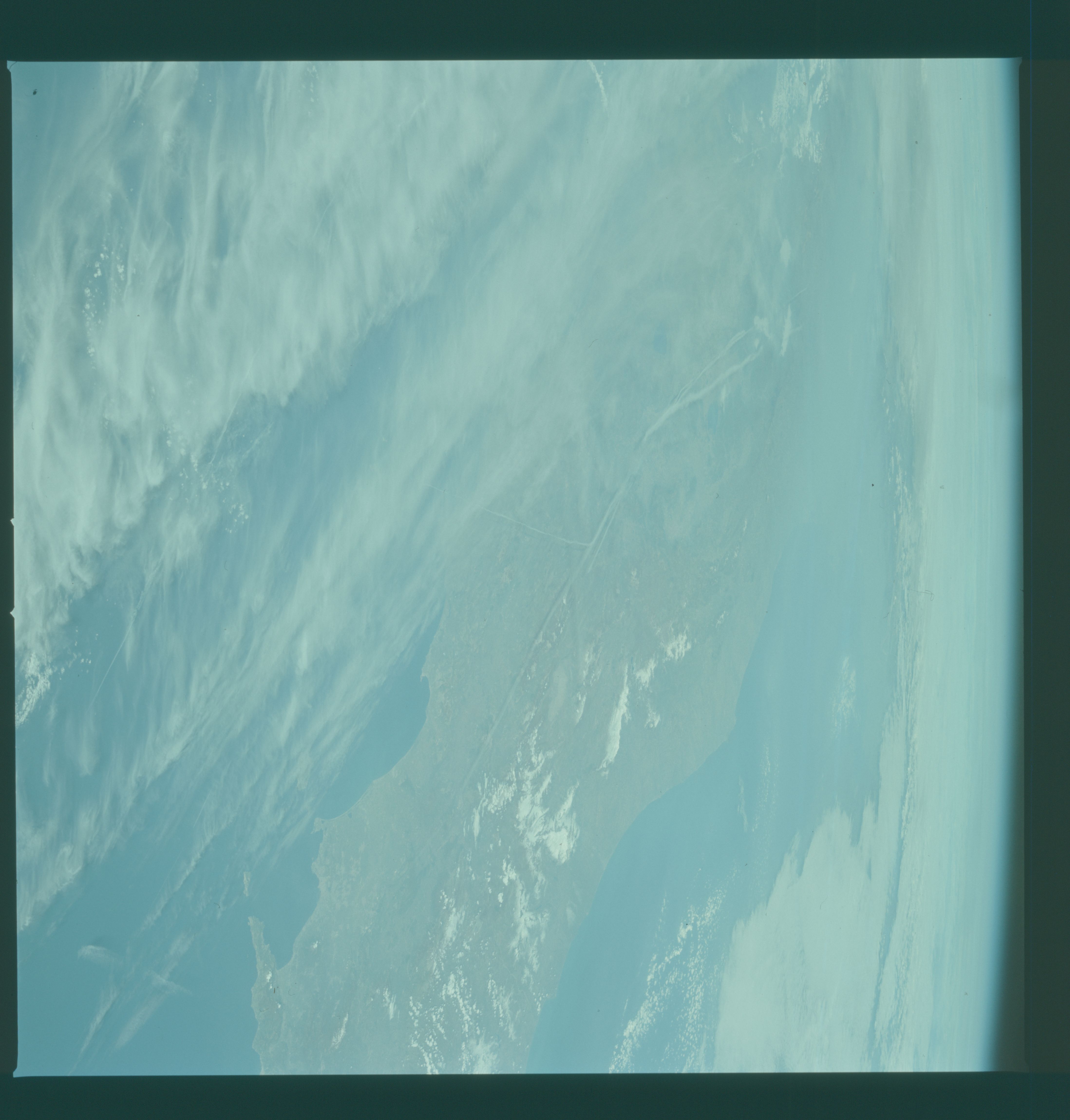
Photo center point: 42.5° N, 13.0° E
Photo center point by machine learning:
Photo center point: 42.5° N, 13.0° E
Photo center point by machine learning:
Nadir to Photo Center:
Spacecraft Altitude: nautical miles (0km)
Country or Geographic Name: | ITALY |
Features: | APPENNINES |
| Features Found Using Machine Learning: | |
Cloud Cover Percentage: | 80 (76-100)% |
Sun Elevation Angle: | ° |
Sun Azimuth: | ° |
Camera: | Hasselblad |
Focal Length: | 100mm |
Camera Tilt: | High Oblique |
Format: | QX824: Kodak Ektachrome 64 |
Film Exposure: | Normal |
| Additional Information | |
| Width | Height | Annotated | Cropped | Purpose | Links |
|---|---|---|---|---|---|
| 4393 pixels | 4600 pixels | No | No | Download Image | |
| 478 pixels | 500 pixels | No | No | Download Image | |
| 640 pixels | 480 pixels | No | No | Download Image |
Download Packaged File
Download a Google Earth KML for this Image
View photo footprint information
Download a GeoTIFF for this photo
Image Caption: Clouds and haze cover most of the Italian peninsula in this view of central Italy (41.5N, 14.0E) but the Bay of Naples region with Mt. Vesuvius and the island of Capri are clear. The Adriatic Sea in the background separates Italy from the cloud covered Balkans of eastern Europe and the Tyrrhenian Sea in the foreground lies between the Italian mainland and the off scene islands of Corsica and Sardinia. Several aircraft contrails can also be seen.
