STS002-13-275
| NASA Photo ID | STS002-13-275 |
| Focal Length | 100mm |
| Date taken | 1981.11.__ |
| Time taken | GMT |

Cloud masks available for this image:
Spacecraft nadir point:
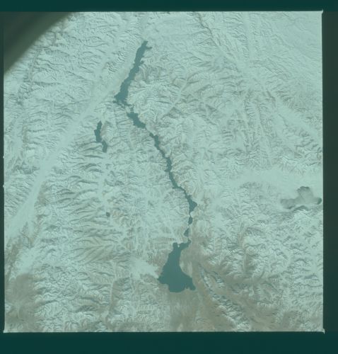
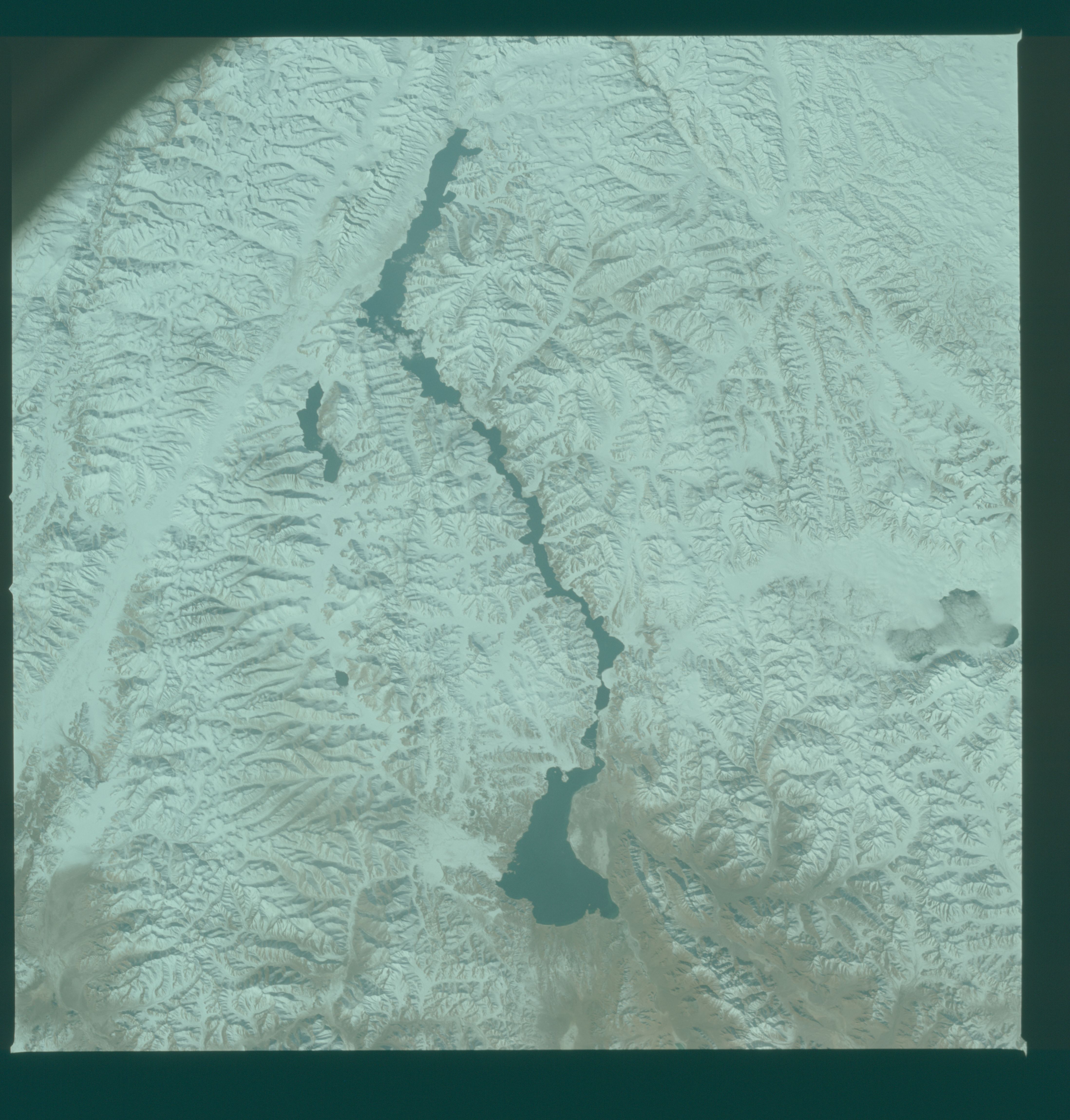
Photo center point: 33.5° N, 79.5° E
Photo center point by machine learning:
Photo center point: 33.5° N, 79.5° E
Photo center point by machine learning:
Nadir to Photo Center:
Spacecraft Altitude: nautical miles (0km)
Country or Geographic Name: | CHINA |
Features: | BANGONG LAKE, HIMALAYA |
| Features Found Using Machine Learning: | |
Cloud Cover Percentage: | 5 (1-10)% |
Sun Elevation Angle: | ° |
Sun Azimuth: | ° |
Camera: | Hasselblad |
Focal Length: | 100mm |
Camera Tilt: | |
Format: | QX824: Kodak Ektachrome 64 |
Film Exposure: | Normal |
| Additional Information | |
| Width | Height | Annotated | Cropped | Purpose | Links |
|---|---|---|---|---|---|
| 4393 pixels | 4600 pixels | No | No | Download Image | |
| 478 pixels | 500 pixels | No | No | Download Image | |
| 640 pixels | 480 pixels | No | No | Download Image |
Download Packaged File
Download a Google Earth KML for this Image
View photo footprint information
Download a GeoTIFF for this photo
Image Caption: The frontier between India (Kashmir) and China (Tibet) (33.5N, 79.5E) lies across the narrow land bridge between the two lakes near the center of this photo. Many of the peaks in this region of the Karakoram and Latakh ranges of the Himalayan Mountains, exceed 20,000 ft. making it one of the most remote regions of the Earth. The large end lake is the Kako in China and the long narrow lake is the Pangong in India.
