SL4-92-354
| NASA Photo ID | SL4-92-354 |
| Focal Length | mm |
| Date taken | 1974.01.26 |
| Time taken | 19:43:25 GMT |

Cloud masks available for this image:
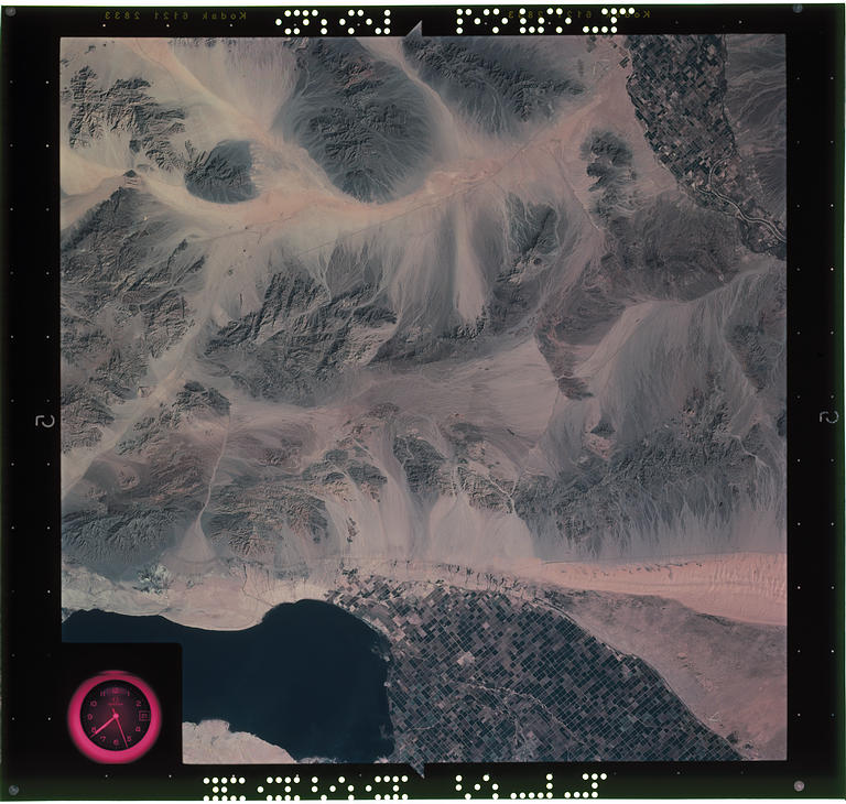
Spacecraft nadir point: 33.5° N, 115.4° W
Photo center point: 33.5° N, 115.4° W
Photo center point by machine learning:
Photo center point: 33.5° N, 115.4° W
Photo center point by machine learning:
Nadir to Photo Center:
Spacecraft Altitude: 238 nautical miles (441km)
Country or Geographic Name: | |
Features: | CALIF., ARIZ., COLORADO R., SALTON SEA, ALGODONES DUNES |
| Features Found Using Machine Learning: | |
Cloud Cover Percentage: | 0 (no clouds present) |
Sun Elevation Angle: | ° |
Sun Azimuth: | ° |
Camera: | Skylab Earth Terrain (S190B) |
Focal Length: | mm |
Camera Tilt: | 0 degrees |
Format: | SO242: Kodak hi resolution color |
Film Exposure: | |
| Additional Information | |
| Width | Height | Annotated | Cropped | Purpose | Links |
|---|---|---|---|---|---|
| 4864 pixels | 4627 pixels | No | No | Scientist Request | Download Image |
| 768 pixels | 730 pixels | No | No | Download Image |
Download Packaged File
Download a Google Earth KML for this Image
View photo footprint information
Download a GeoTIFF for this photo
Image Caption: none
