SL4-137-3579
| NASA Photo ID | SL4-137-3579 |
| Focal Length | 100mm |
| Date taken | |
| Time taken | GMT |

Cloud masks available for this image:
Spacecraft nadir point:
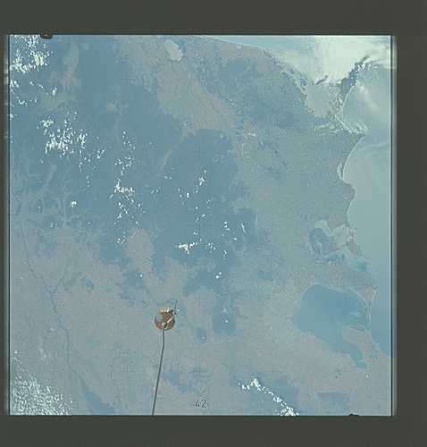
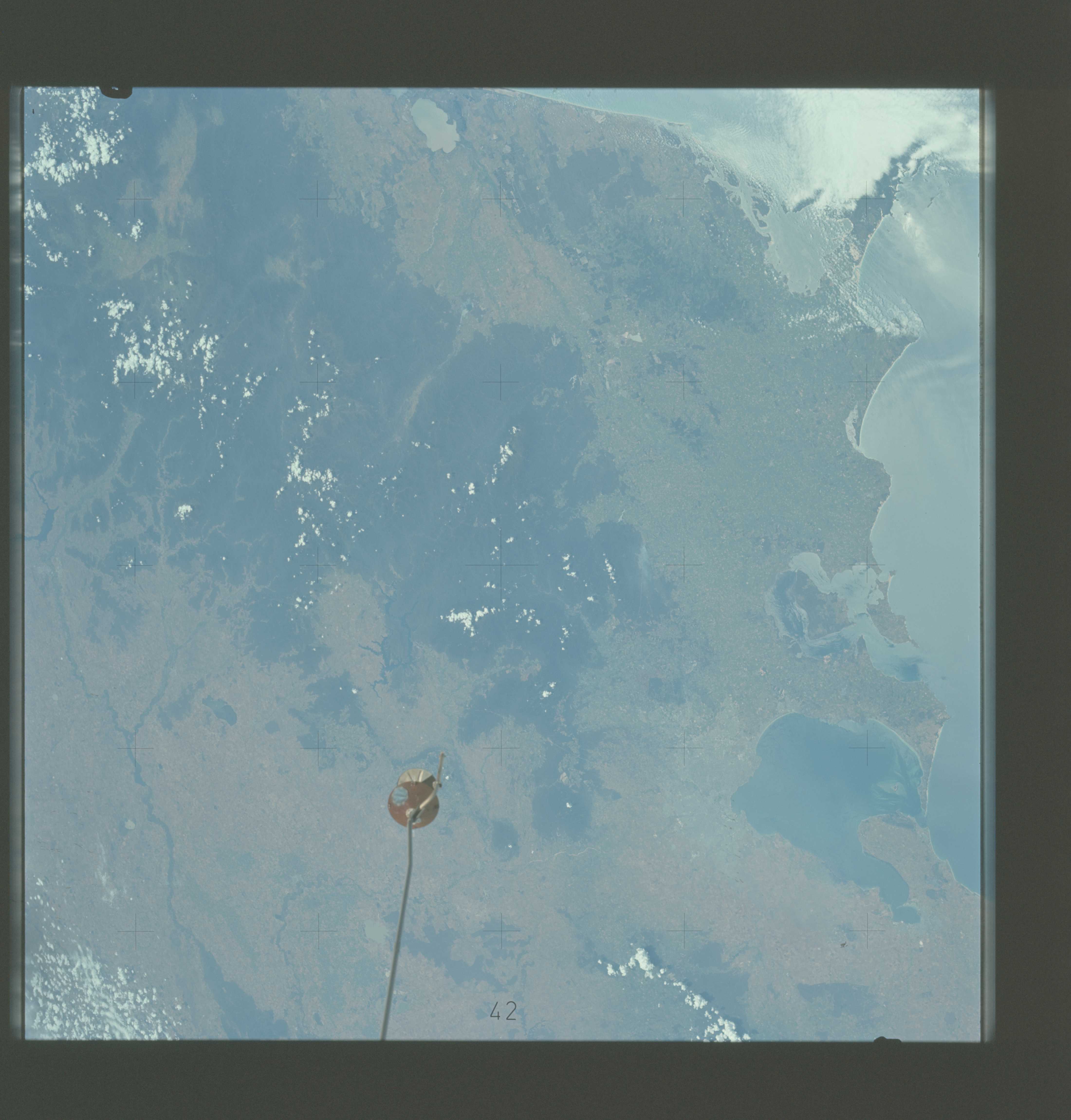
Photo center point: 37.5° S, 146.5° E
Photo center point by machine learning:
Photo center point: 37.5° S, 146.5° E
Photo center point by machine learning:
Nadir to Photo Center:
Spacecraft Altitude: nautical miles (0km)
Country or Geographic Name: | AUSTRALIA-V |
Features: | GR. DIVIDING RA., SE COAST |
| Features Found Using Machine Learning: | |
Cloud Cover Percentage: | 15 (11-25)% |
Sun Elevation Angle: | ° |
Sun Azimuth: | ° |
Camera: | Hasselblad |
Focal Length: | 100mm |
Camera Tilt: | Low Oblique |
Format: | SO368: Kodak Ektachrome MS, equivalent to 2448 Kodak Aerochrome, ASA64, thin base, fine grain |
Film Exposure: | Normal |
| Additional Information | |
| Width | Height | Annotated | Cropped | Purpose | Links |
|---|---|---|---|---|---|
| 4400 pixels | 4600 pixels | No | No | Download Image | |
| 4400 pixels | 4600 pixels | No | No | Original file from film scan | Download Image |
| 478 pixels | 500 pixels | No | No | Download Image |
Download Packaged File
Download a Google Earth KML for this Image
View photo footprint information
Download a GeoTIFF for this photo
Image Caption: A near vertical view of the Melbourne, State of Victoria, Australia (37.5S, 146.5E) area as seen from the Skylab space station in Earth orbit. This view is not in sunglint. Included in this view are Port Phillip Bay, Ninety-Mile Beach and the Australian Alps. The bay opens to the south.
