SL4-136-3475
| NASA Photo ID | SL4-136-3475 |
| Focal Length | 100mm |
| Date taken | |
| Time taken | GMT |

Cloud masks available for this image:
Spacecraft nadir point:
Photo center point: 29.0° N, 92.0° W
Photo center point by machine learning:
Photo center point: 29.0° N, 92.0° W
Photo center point by machine learning:
Nadir to Photo Center:
Spacecraft Altitude: nautical miles (0km)
Country or Geographic Name: | USA-LOUISIANA |
Features: | ATCHAFALAYA BAY |
| Features Found Using Machine Learning: | |
Cloud Cover Percentage: | 10 (1-10)% |
Sun Elevation Angle: | ° |
Sun Azimuth: | ° |
Camera: | Hasselblad |
Focal Length: | 100mm |
Camera Tilt: | Near Vertical |
Format: | SO368: Kodak Ektachrome MS, equivalent to 2448 Kodak Aerochrome, ASA64, thin base, fine grain |
Film Exposure: | Normal |
| Additional Information | |
| Width | Height | Annotated | Cropped | Purpose | Links |
|---|---|---|---|---|---|
| 4400 pixels | 4600 pixels | No | No | Download Image | |
| 4400 pixels | 4600 pixels | No | No | Original file from film scan | Download Image |
| 478 pixels | 500 pixels | No | No | Download Image |
Download Packaged File
Download a Google Earth KML for this Image
View photo footprint information
Download a GeoTIFF for this photo
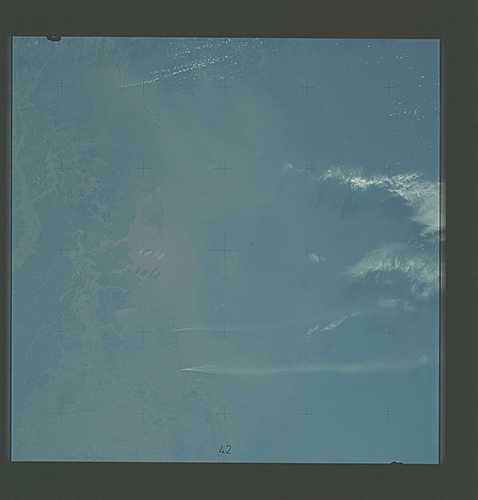
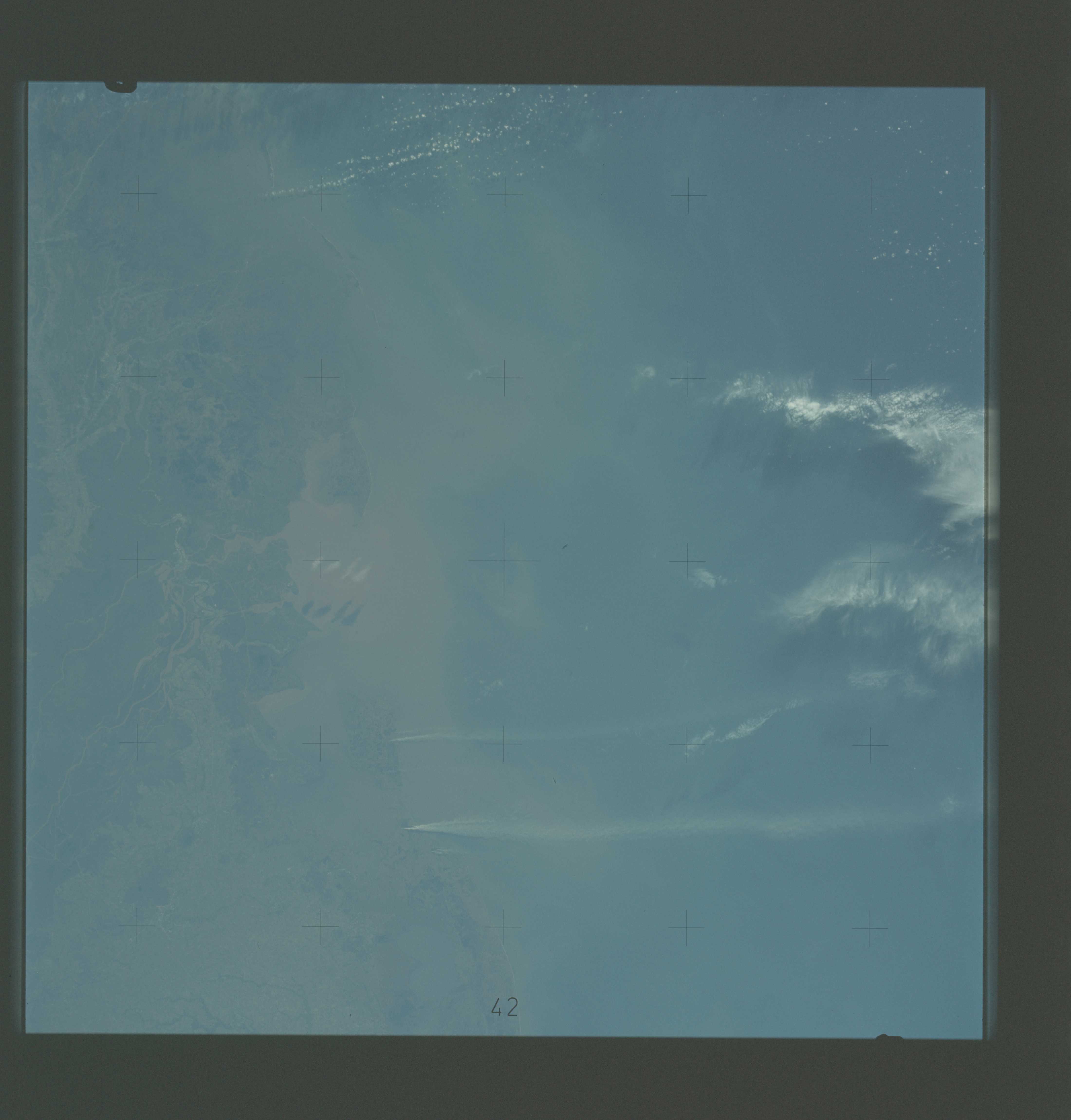
Image Caption: A vertical view of the Gulf coast area of Louisiana (29.0N, 92.0W) as seen from the Skylab space station in Earth orbit. A Skylab 4 crewman used a hand-held 70mm Hasselblad camera to take this picture. This view extends from White Lake and Pecan Island (bottom border) eastward to the Mississippi River delta (top left). Atchafalaya Bay (red) is in the center. The Bayou Teche area is included in this view. A prominent feature of this photograph is two large white smoke plumes extending from Louisiana south into the Gulf of Mexico. The larger smoke plume originates on the southern shore of Vermillion Bay. The other plume extends from the southern shore of Marsh Island. The prononced narrow width and length of the plumes indicate that a strong offshore wind is present. Approximately 100 miles of the plumes are visible in this photograph; but they probably extend well into the Gulf of Mexico.
