SL3-33-156
| NASA Photo ID | SL3-33-156 |
| Focal Length | 152mm |
| Date taken | 1973.09.03 |
| Time taken | GMT |
Cloud masks available for this image:
Spacecraft nadir point: 43.9° N, 10.7° E
Photo center point: 43.9° N, 10.7° E
Photo center point by machine learning:
Photo center point: 43.9° N, 10.7° E
Photo center point by machine learning:
Nadir to Photo Center:
Spacecraft Altitude: 233 nautical miles (432km)
Country or Geographic Name: | |
Features: | |
| Features Found Using Machine Learning: | |
Cloud Cover Percentage: | 0 (no clouds present) |
Sun Elevation Angle: | ° |
Sun Azimuth: | ° |
Camera: | Skylab Multispectral (S190A) |
Focal Length: | 152mm |
Camera Tilt: | 0 degrees |
Format: | E2443: Kodak color infrared |
Film Exposure: | |
| Additional Information | |
| Width | Height | Annotated | Cropped | Purpose | Links |
|---|---|---|---|---|---|
| 6830 pixels | 4937 pixels | No | No | Download Image | |
| 500 pixels | 361 pixels | No | No | Download Image |
Download Packaged File
Download a Google Earth KML for this Image
View photo footprint information
Download a GeoTIFF for this photo
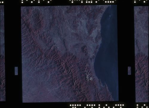
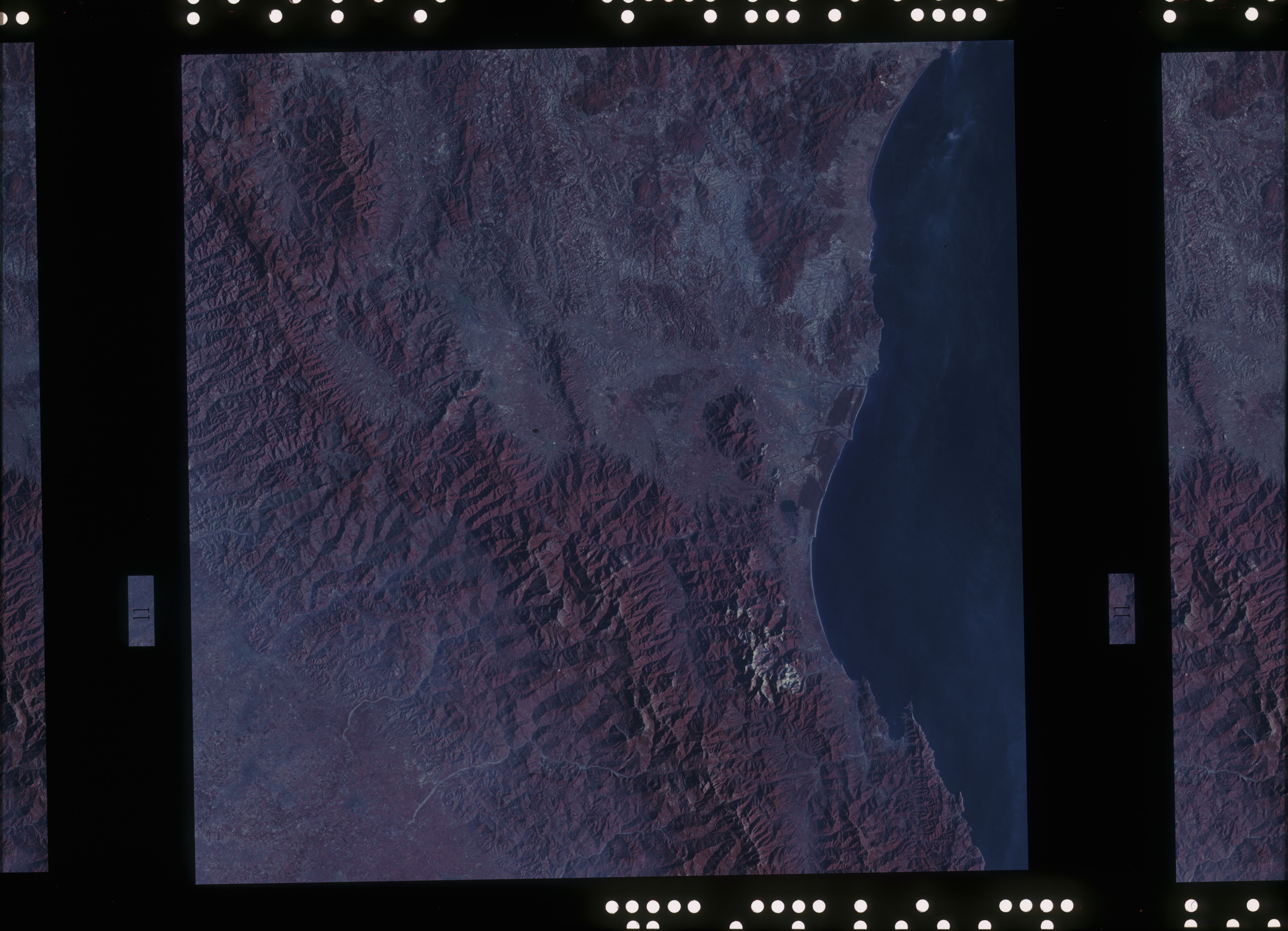
Image Caption: A near vertical view of the Florence, Italy area as photographed from Earth orbit by one of the Itek-furnished S190-A Multispectral Photographic Facility Experiment aboard the Skylab space station. The view extends from the Ligurian Sea, an extension of the Mediterranian Sea, across the Apennine Mountians to the Po River Vally. Florence (Firenze) is near the center of the land mass. The mouth of the Arno River is at the center of the coastline. The city of Leghorn (Livorno) is on the coast just south of the Arno River. This picture was taken with type 2443 infrared color film.
