SL3-27-224
| NASA Photo ID | SL3-27-224 |
| Focal Length | 152mm |
| Date taken | 1973.08.12 |
| Time taken | GMT |
Cloud masks available for this image:
Spacecraft nadir point: 8.4° N, 81.7° W
Photo center point: 8.4° N, 81.7° W
Photo center point by machine learning:
Photo center point: 8.4° N, 81.7° W
Photo center point by machine learning:
Nadir to Photo Center:
Spacecraft Altitude: 234 nautical miles (433km)
Country or Geographic Name: | |
Features: | |
| Features Found Using Machine Learning: | |
Cloud Cover Percentage: | 70 (51-75)% |
Sun Elevation Angle: | ° |
Sun Azimuth: | ° |
Camera: | Skylab Multispectral (S190A) |
Focal Length: | 152mm |
Camera Tilt: | 0 degrees |
Format: | E2443: Kodak color infrared |
Film Exposure: | |
| Additional Information | |
| Width | Height | Annotated | Cropped | Purpose | Links |
|---|---|---|---|---|---|
| 6830 pixels | 4937 pixels | No | No | Download Image | |
| 500 pixels | 361 pixels | No | No | Download Image |
Download Packaged File
Download a Google Earth KML for this Image
View photo footprint information
Download a GeoTIFF for this photo
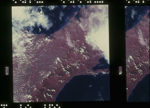
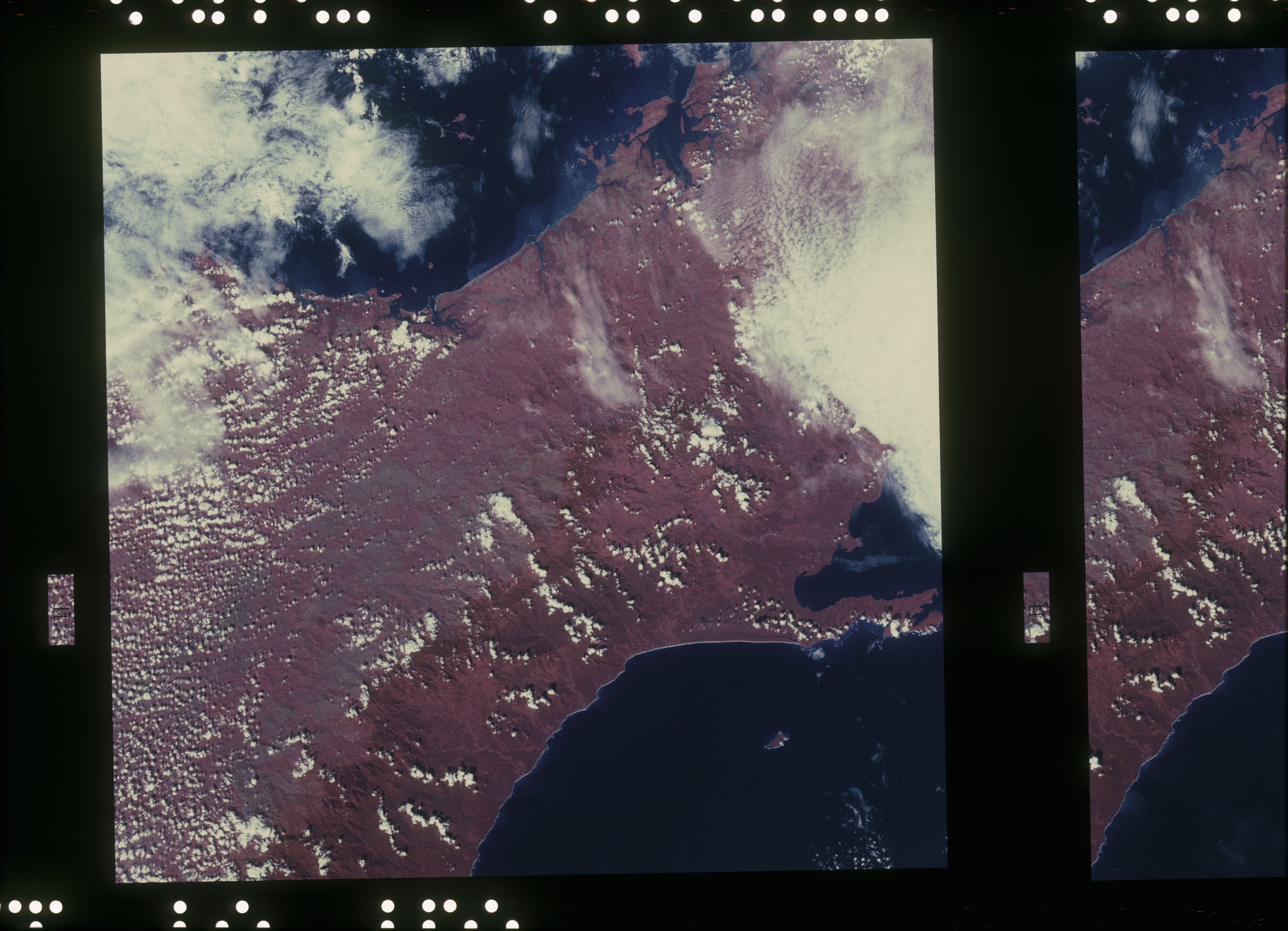
Image Caption: A vertical view of the western portion of the Republic of Panama on the Isthmus of Panama as photographed from Earth orbit by one of the six lenses of the Itek-furnished S190-A Multispectral Photographic Facility Experiment aboard the Skylab space station. This picture was taken with 2443 infrared color film. The large, clear body of water on the north side of the isthmus is Golfo de los Mosquitos, an extension of the Caribbean Sea. The large, partly cloud-covered body of water on the south side of the isthmus is Golfo de Chiriqui, and extension of the Pacific Ocean.
